Behemoth sunspot 1263 has almost doubled in size
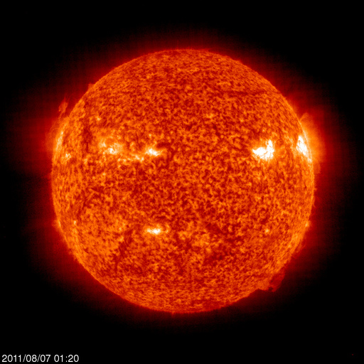
Image credit: TW
Behemoth sunspot 1263 has almost doubled in size this weekend. A 28-hour movie from NASA's Solar Dynamics Observatory shows the spot developing a tail that has added some 50,000 km of length to the active region.
This development may increase the likelihood of a strong flare.
| GIF MOVIES | ||
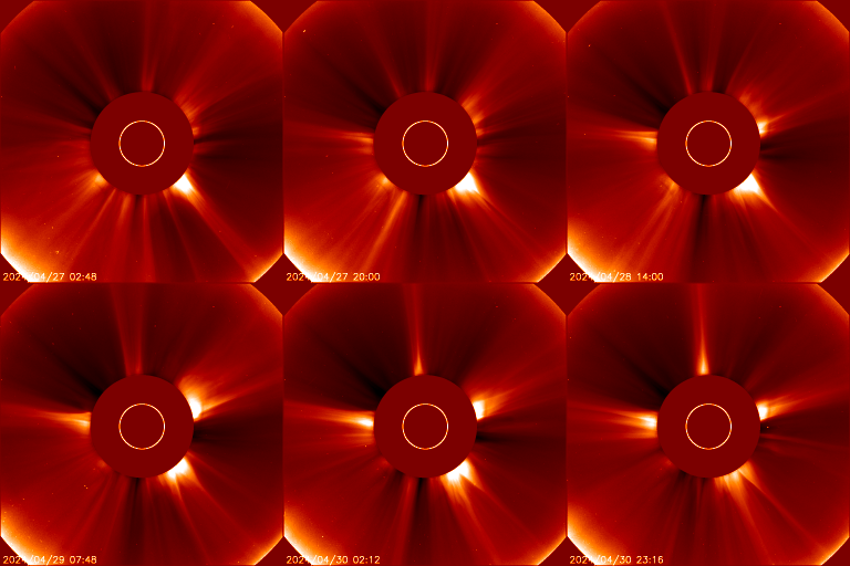
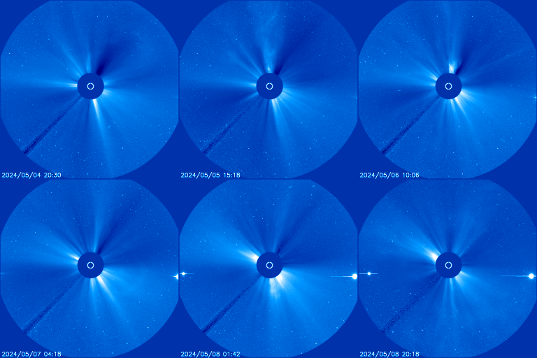
| LASCO/C2 | LASCO/C3 | EIT 304A |
 65M |
 69M |
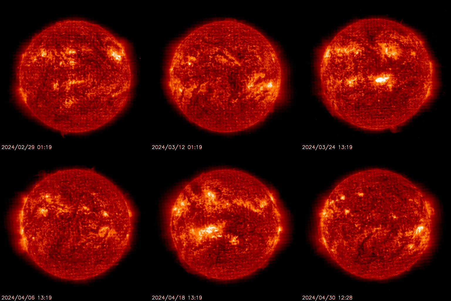 69M |
| 1/4 Resolution 16M |
1/4 Resolution 16M |
1/4 Resolution 5.4M |
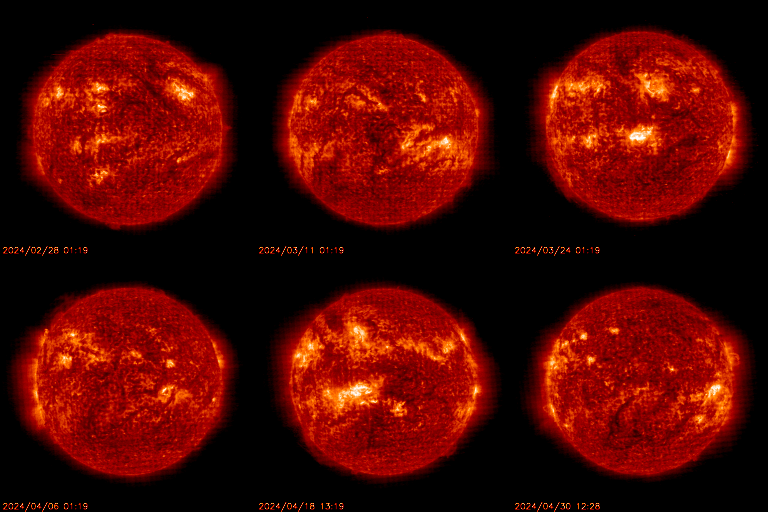
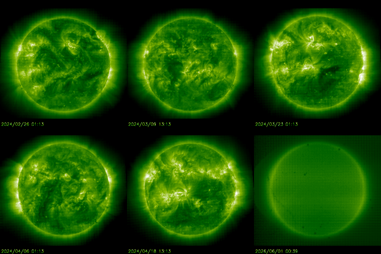
| EIT 195A | EIT 171A | EIT 284A |
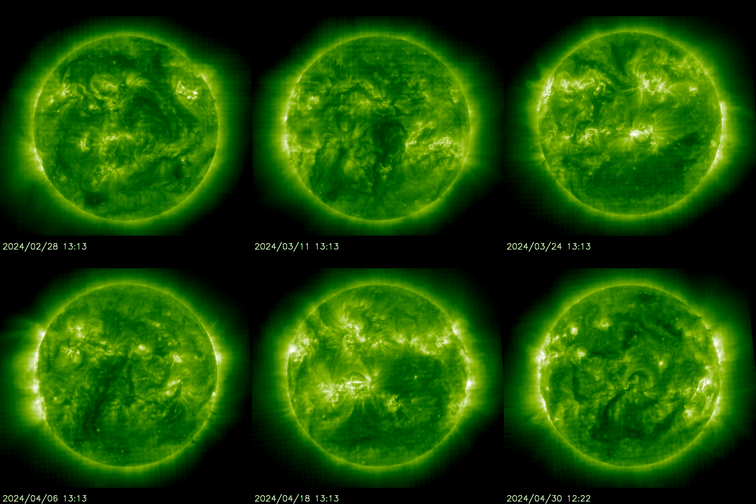 23M |
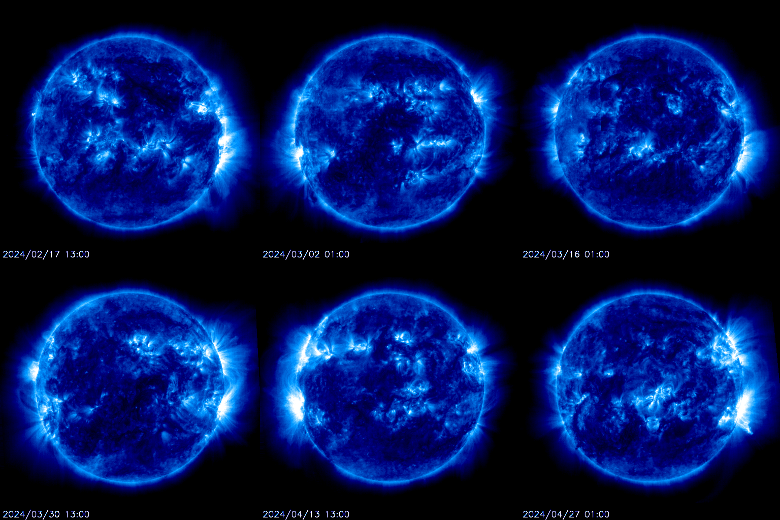 20M |
 23M |
| 1/4 Resolution 6.0M |
1/4 Resolution 5.4M |
1/4 Resolution 6.1M |
GIF movies are courtesy of the LASCO/NRL SOHO team.
Only C-Class activity took place during Sunday. Big sunspot 1263 has a Beta-Gamma-Delta configuration and may produce an M-Class flare. Sunspot 1266 in the north and 1267 in the south quietly persist.
Sunspot 1261 which was the cause of atleast 6 M-Class flares and multiple incoming CME shocks, has rotated onto the western limb and is now out of direct Earth view.

Region 1263 exhibited motion and growth within its central and trailing spots; merging of trailing spots with the central spots produced an additional delta configuration in the group.

Solar activity is expected to be at moderate levels.
M-flares are likely and there is a slight chance for an X-flare and/or proton event with Region 1263 as the most likely source.
The geomagnetic field is expected to be quiet to unsettled on August 8 as the effects of the high speed stream weaken. Mostly quiet conditions are expected on August 9 and 10.


Earlier reporting
Nothing on Watchers was published in the last 24 hours. These are older articles.
- On October 22, 2017, a single flash of lightning stretched 515 miles from eastern Texas to near Kansas City, a distance that takes eight hours to drive, and nobody realized how far it had gone until scientists went back through the satellite data years later Epicenter
- CPC posts a slight risk of heavy rain from the Gulf Coast to the Northeast urban corridor November 25-29, and a moderate risk of West Coast wind and Sierra snow on November 25
- Florida's east coast faces a moderate flash flood risk Wednesday through Friday, with 4 to 8 inches of rain forecast and the St. Johns River near Cocoa already in major flood at 17.13 feet
- Cyclone Akvan to make landfall between Nellore and Visakhapatnam around noon on November 20, IMD forecasts 120-130 km/h winds gusting to 145