• Extreme Heat Watches issued for Utah, Montana, and northern Wyoming, temperatures up to 43°C (110°F) forecast through July 27

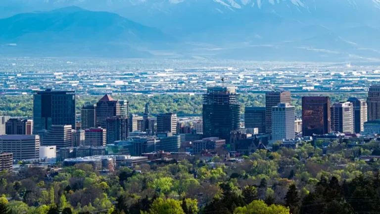
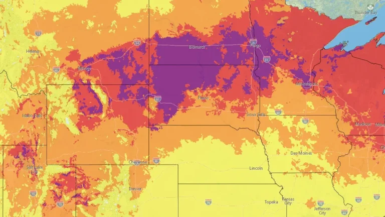
    Extreme Heat Watches have been issued for large portions of Utah, Montana, and north-central Wyoming as widespread dangerous heat is forecast from Friday, July 24, through Sunday, July 26, with some areas remaining under hazardous conditions into early next week. Afternoon temperatures are forecast to reach 35 to 43°C (95 to 110°F), while unusually warm nights across northern Utah are expected to limit overnight cooling and increase cumulative heat stress.
  • Flash flood kills 5 family members near Bicknell, Utah

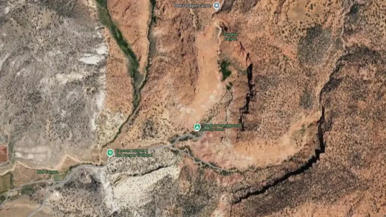
    A flash flood near Sunglow Campground outside Bicknell, Utah, killed five members of one family on Friday, July 17, 2026, after they arrived in the area to hike and canyoneer, according to local reports citing the Wayne County Sheriff’s Office.

  • Record-breaking heat to peak through July 14 from the Great Basin to the Northern Plains, U.S.

    Dangerous and potentially record-breaking heat is forecast to peak through July 14, 2026, across the western and north-central United States. Billings, Montana, already shattered its all-time temperature record on July 12, while Salt Lake City, Utah, tied for its second-highest reading ever, just short of its own all-time mark. More locations could still challenge records as the heat continues into Tuesday. Very warm nights are adding to the danger by increasing heat stress over several consecutive days.

  • State of Emergency declared in Utah as Cottonwood Fire grows to largest active wildfire in U.S.

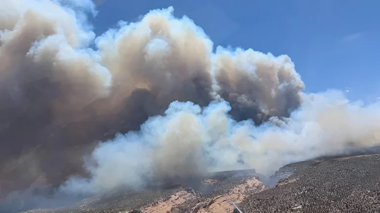
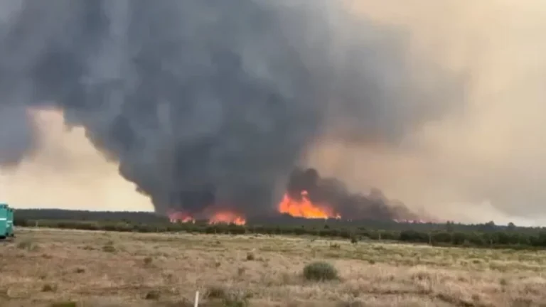
    Utah Governor Spencer Cox declared a State of Emergency and temporarily expanded the state forester’s authority to restrict fireworks through July 5, 2026, after the Cottonwood Fire grew into the largest active wildfire in the United States. The fire had burned about 29 000 ha (71 841 acres) in Beaver County and remained 0% contained as extreme fire weather fueled rapid growth across southern Utah on Friday, June 26.

  • Twin cross-country storms to bring severe weather from the Cascades and Rockies to the Mississippi Valley

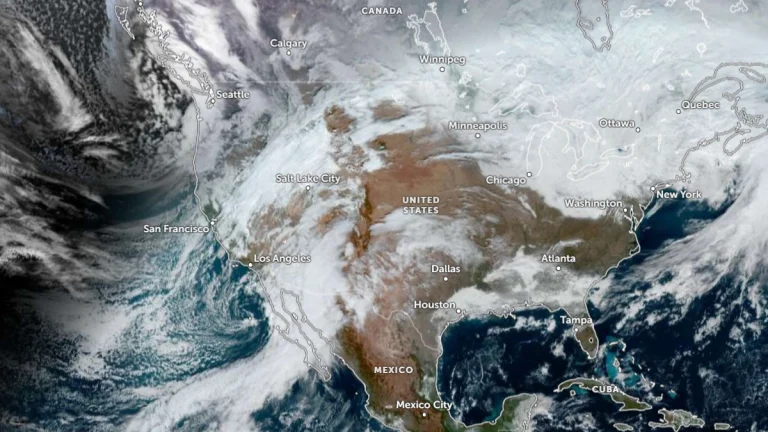
    A pair of cross-country storm systems will affect large parts of the United States through Friday, January 9, 2026, bringing widespread rain, mountain snow, and a risk of severe thunderstorms. Heavy snowfall is forecast for the Cascades and the southern Rockies. Flash floods and severe thunderstorms are forecast across the Lower Mississippi and Tennessee Valleys by the end of the week.

  • Long-track tornado touches down near Montezuma Creek, San Juan County, Utah

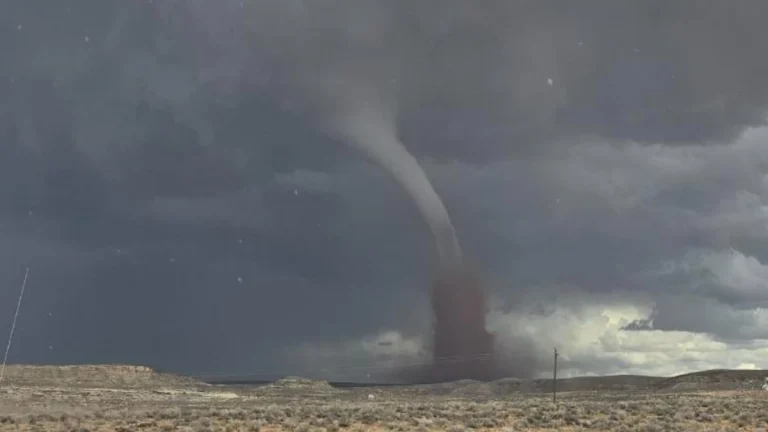
    A long-track tornado was confirmed northeast of Montezuma Creek in San Juan County, Utah, between 12:30 and 13:05 MDT on September 13, 2025, about 10–13 km (6–8 miles) northeast of Montezuma Creek and 35 km (22 miles) southeast of Blanding. The National Weather Service issued a tornado warning for southeastern Utah and western Colorado.

  • Large firenado forms over Deer Creek Fire near La Sal, Utah

    A large fire vortex, or firenado, formed over the Deer Creek Fire near La Sal, Utah, on July 12, 2025, amid rapidly intensifying wildfire conditions. The vortex damaged a fire engine and prompted the temporary withdrawal of fire crews.