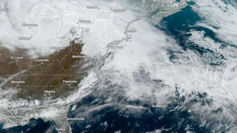
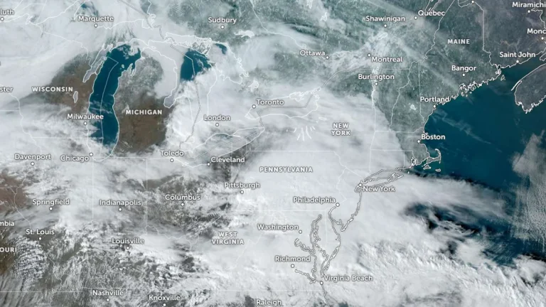
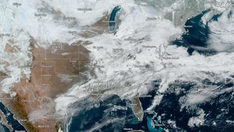
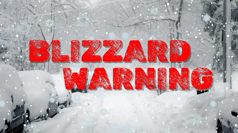
• Snow squalls create hazardous travel conditions across Ohio and Pennsylvania

    Snow squalls continued through the Saturday afternoon, January 17, 2026, across parts of Ohio and Pennsylvania as an Arctic cold front advanced eastward from the Midwest into the Interior Northeast. The National Weather Service warned of sudden whiteout conditions, gusty winds, and rapidly deteriorating visibility, creating dangerous travel for motorists.

  • Major polar vortex disruption brings Arctic surges across North America and Europe through January and early February

    A major polar vortex disruption has begun and is forecast to send Arctic air into much of North America and Europe through mid and late January 2026. The event will bring freezing temperatures and winter weather as the vortex weakens following a stratospheric warming episode. A second, stronger outbreak is forecast to occur during the last part of January as the core of the vortex splits into two halves, each driving cold Arctic air into Europe and North America in February.

  • Weak La Niña supports wet north-dry south pattern across the western U.S. through March 2026

    Experimental seasonal forecasts from the Center for Western Weather and Water Extremes (CW3E) suggest that a weak La Niña is reinforcing a wet–north, dry–south precipitation pattern across the western United States during January–March 2026. The outlook shows high-confidence signals for below-normal precipitation in Southern California, while model uncertainty remains higher across central and northern California.

  • Freeze warnings issued across Florida Panhandle and parts of the southeast U.S.

    Freeze warnings are in effect across the Florida Panhandle, northern and central counties, and parts of southeast Georgia from 23:00 EST Thursday, January 15, 2026, through 09:00 EST Friday, January 16. Temperatures are forecast to drop as low as −6°C (22°F) in inland areas, producing frost capable of damaging unprotected crops and causing water pipes to freeze and burst.

  • Red Flag Warning and High Wind Watches issued across central U.S. as strong northwesterly winds develop

    Strong northwesterly winds and very low humidity will bring critical fire weather conditions across eastern Colorado and western Kansas on Thursday, January 15, 2026, prompting the National Weather Service in Goodland to issue a Red Flag Warning and Fire Weather Watch. At the same time, high wind watches have been issued across the northern and central Great Plains, with gusts up to 120 km/h (75 mph) expected Thursday through Friday, January 16.

  • La Niña breakdown underway as models point to ENSO-neutral conditions in early 2026

    La Niña conditions in the equatorial Pacific show signs of a transition toward ENSO-neutral conditions, with potential for El Niño development later in 2026. Observations from the National Oceanic and Atmospheric Administration (NOAA) and the European Centre for Medium-Range Weather Forecasts (ECMWF) show subsurface ocean warming and westerly wind anomalies across the central Pacific, indicating the breakdown of the three-year La Niña phase.