• Storm-force winds and high seas forecast over western Atlantic as offshore low rapidly intensifies

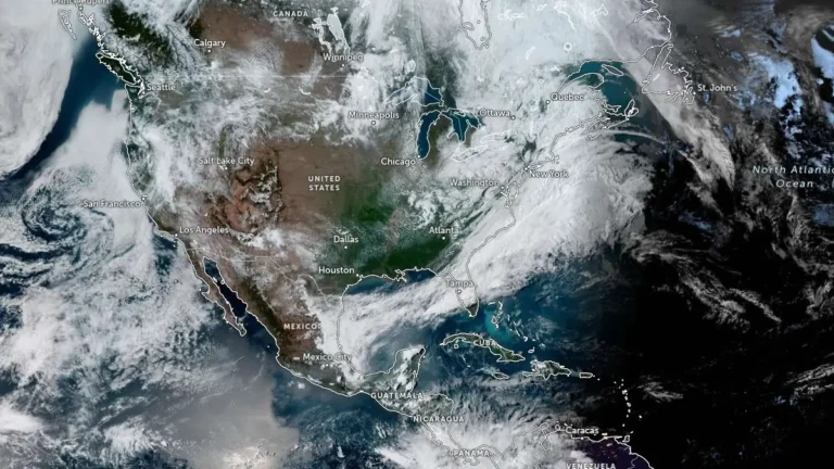
    Storm-force winds and high seas are forecast over parts of the western Atlantic on Sunday, May 3, 2026, as a rapidly deepening low-pressure system moves northeast off the U.S. East Coast. The NWS Ocean Prediction Center issued storm warnings for offshore waters, with forecast winds reaching 110 km/h (70 mph) and seas building up to 7 m (23 feet).


  • Flash floods leave 1 dead in San Antonio, Texas

    One person died in San Antonio, Texas, on May 1, 2026, after flash floods spread across urban areas during periods of heavy rainfall. Police and fire crews recovered the victim from a drainage channel as floodwaters impacted roads and infrastructure.

  • Monster 18 cm (7.1 inch) hailstone sets new state record in Texas

    What initially looked like a discarded gallon jug in a roadside ditch turned out to be a record-breaking hailstone, now confirmed as the largest ever documented in Texas at roughly 18 cm (7.1 inches). It was discovered near Vigo Park in Swisher County by storm chaser Val Castor and his associates on June 2, 2024. They clicked several pictures of the hailstone alongside objects to provide a visual reference of size and submitted them to the Insurance Institute for Business and Home Safety (IBHS). The size of the hailstone was determined using photogrammetry and AI analysis along with the estimates from the storm chasers.

  • NWS rates Mineral Wells tornado EF3 after severe storms in Texas

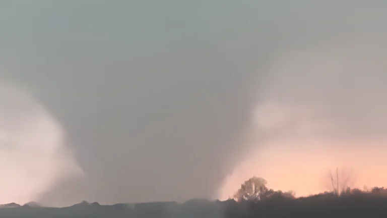
    The National Weather Service preliminarily rated the Mineral Wells tornado in Texas as EF3, with estimated peak winds of 233 km/h (145 mph), after surveying damage from the April 28, 2026, severe weather event. NWS listed 5 injuries and 0 fatalities, while Mineral Wells officials kept a curfew in place for the affected area as cleanup and damage assessment continued.

  • Giant hail up to 11.4 cm (4.5 inches) reported in Texas, destructive 10.2 cm (4 inches) hail swath impacts Missouri

    Giant hail up to 11.4 cm (4.5 inches) was reported in Johnson County, Texas, late on April 28, 2026, while a separate corridor of 7.6–10.2 cm (3–4 inches) hail caused structural and vehicle damage across southwest Missouri earlier the same day. The storms were part of a multi-state severe weather outbreak stretching from Oklahoma and Arkansas into Mississippi, producing widespread reports of large hail, damaging winds, and isolated tornadoes. Confirmed impacts included broken windows, roof damage, and an animal fatality at a zoo in Springfield, Missouri.

  • Critical fire-weather conditions forecast across eastern New Mexico and western Texas

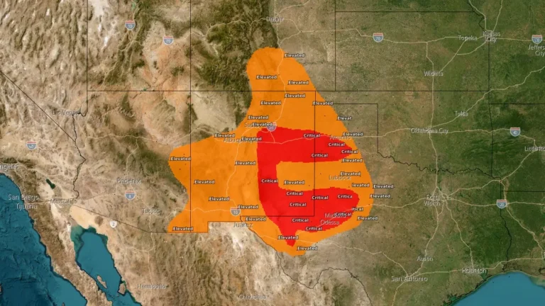
    Critical fire-weather conditions are forecast across parts of eastern New Mexico and western Texas on Tuesday, April 28, 2026, as west to southwest winds of 25–30 km/h (15–20 mph) combine with relative humidity of 10–20% over dry fuels. The Storm Prediction Center outlined a Critical Fire Weather Area covering approximately 140 380 km² (54 200 mi²) and 740 760 people, with the strongest overlap of wind and humidity reductions forecast from east-central and southeastern New Mexico into adjacent Texas.

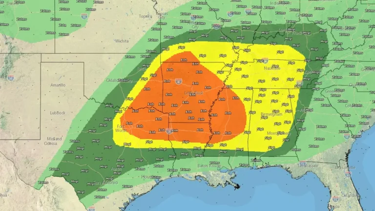
  • Enhanced Risk of severe thunderstorms issued for northern Texas into lower Mississippi Valley

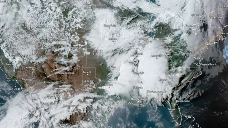
    Severe thunderstorms and heavy rainfall are forecast across parts of northern Texas into the lower Mississippi and Tennessee Valleys on April 28, 2026, with an Enhanced Risk issued for parts of the region. Very large hail, damaging winds, and a few tornadoes are to be expected, while repeated storm activity may increase the risk of flash flooding.