• Five stations break daily rainfall records following Typhoon Dolphin’s double landfall, China

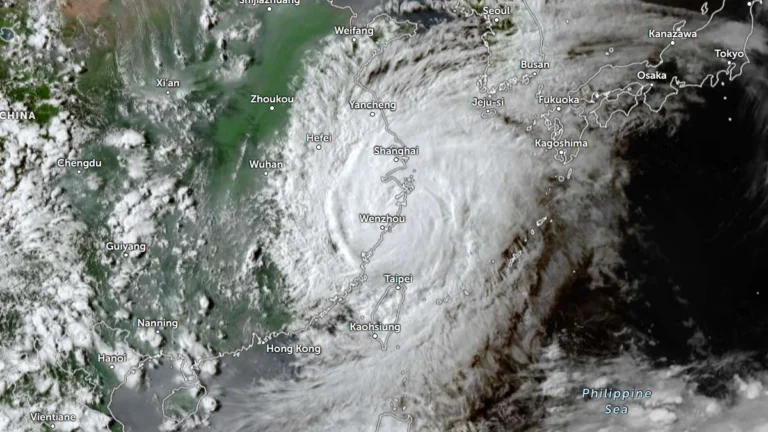
    Five stations break station-history daily rainfall records in in Zhejiang and Shanghai, following Typhoon Dolphin’s double landfall on August 9, 2026. Localized rainfall totals in parts of Taizhou exceeded 700 mm (28 inches) between August 8 and early August 10.Meanwhile, The Ministry of Emergency Management activated a Level IV national emergency response for geological disasters in Hebei, Henan and Hubei on August 10.
  • Typhoon Dolphin approaches landfall south of Taizhou, Zhejiang and Fujian raise emergency responses, China

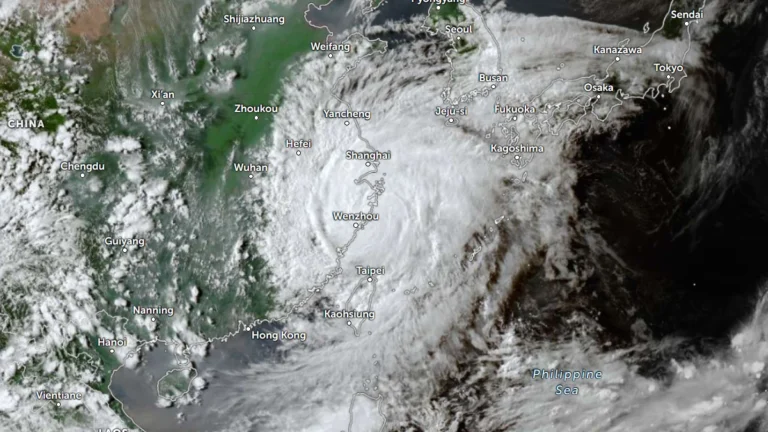
    Typhoon Dolphin is forecast to make landfall south of Taizhou along the southeastern Chinese coast on August 9, 2026. Zhejiang was put under a Level 1 typhoon emergency response, Fujian had raised its response to Level 2, and China’s National Meteorological Center maintained a red typhoon warning as the cyclone approached the coast. Fujian also reported 98 900 people relocated from risk areas, while ferry, rail and aviation restrictions are in effect in affected areas.

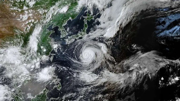
  • Typhoon Dolphin strengthens near Okinawa, 5 injured as China braces for landfall

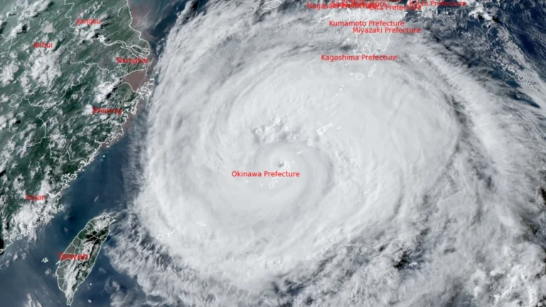
    Typhoon Dolphin re-intensified while passing close to northwestern Okinawa on August 7, 2026, leaving at least five people injured, five homes partially damaged and 16 920 households without power. China’s National Meteorological Center (NMC) said the typhoon could strengthen further before making landfall between Zhejiang and northern Fujian from the afternoon of August 9 to the morning of August 10, with eastern Zhejiang potentially receiving more than 600 mm (23.6 inches) of rain through August 10.

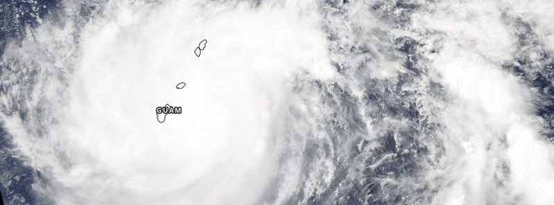
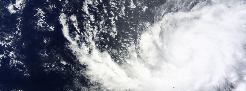
  • Dolphin becomes Super Typhoon after passing Guam

    Typhoon "Dolphin" passed through the Rota Channel between Guam and Rota on May 15, 2015 forcing more than 1 100 people to seek cover in shelters. It was packing maximum winds of about 177 km/h (109 mph) taking down trees, power lines and grounding flights on