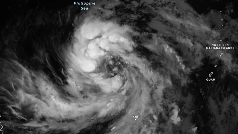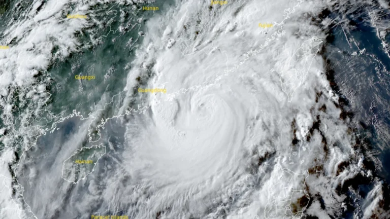
• Over 20 000 evacuated as Typhoon Noul approaches Guangdong, up to 600 mm (24 inches) of rain forecast, China

    Typhoon Noul is forecast to make landfall over eastern Guangdong by July 26, 2026, bringing a significant threat of flooding across southern China. More than 20 000 people have been evacuated Guangdon with rainfall totals of 500 to 600 mm (20 to 24 inches) forecast as the storm approaches. Authorities have raised Guangdong’s emergency response for flood and typhoon control to Level III on July 25 as Typhoon Noul approached the province, while activating a Level IV flood emergency response for Jiangxi and Hunan.
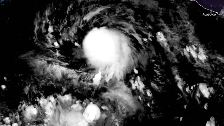
  • Tropical Storm Elida forms off Mexico, forecast to intensify into a hurricane

    Tropical Depression Five-E formed over the eastern Pacific Ocean south of Baja California, Mexico, on July 14, 2026, and intensified into Tropical Storm Elida at 09:00 UTC on July 15. The National Hurricane Center (NHC) said the system is forecast to steadily strengthen over the next several days and become a hurricane by the night of July 16, with peak winds expected to reach 161 km/h (100 mph) by July 17.

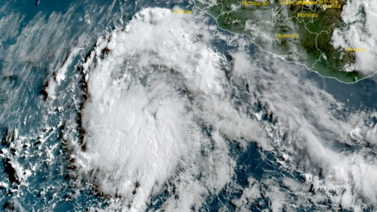
  • NHC designates 100% chance of cyclone formation for EP96

    The National Hurricane Center (NHC) assigned a 100% probability of tropical cyclone formation within the next seven days to disturbance EP96 at 05:00 PDT (12:00 UTC) on July 14, 2026, while raising the 48-hour probability to 90%. A low-pressure circulation with an estimated minimum central pressure of 1 007 hPa had already developed by 08:00 PDT (15:00 UTC), and a tropical depression or tropical storm is expected to form later on July 14 as the system moves west-northwest offshore of southwestern Mexico

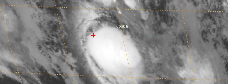
  • Tropical Cyclone “Bart” forms SE of American Samoa

    Tropical Cyclone "Bart" has formed southeast of American Samoa on February 21, 2017, as the 7th named tropical system of the 2016/17 Southern hemisphere tropical cyclone season. At 15:00 UTC on February 21, the center of Tropical Cyclone "Bart"…

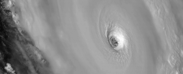
  • Intense tropical cyclones shifting poleward since 1980

    Researchers find that the average latitude where tropical cyclones achieve maximum intensity has been shifting poleward since 1980.Over the past 30 years, the location where tropical cyclones reach maximum intensity has been shifting toward the poles in both the norther

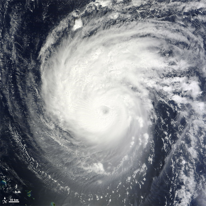
  • Could Hurricane Katia reach Northern Europe

    Tropical cyclones are formed mostly between 10 and 30 degrees north and south, but it happens sometimes that they make the trip north to us.According to longrange computer models, Katia could be the most powerful storm to hit the UK in over 300 years! One of the