
Pickett Fire threatens wineries in Napa Valley, California
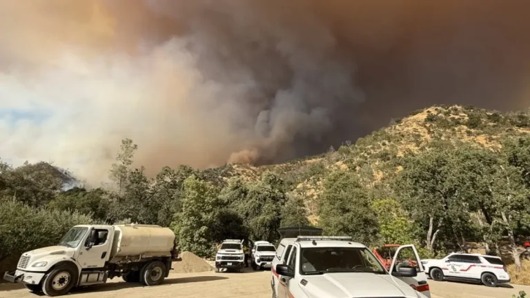
The Pickett Fire has burned 2 642 ha (6 531 acres) of land north of Calistoga, Napa County, California, since August 21, 2025. Nearly 200 residents have been forced to evacuate, and multiple prominent wineries in the Napa Valley are under threat.