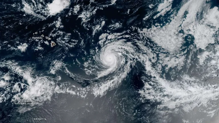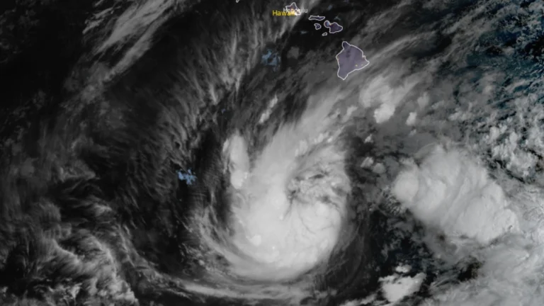
• Tropical Storm Nolo strengthens south of Hawaii, up to 890 mm (35 inches) of rain forecast

    Tropical Storm Nolo strengthened south of Hawaii on September 24, 2026, as forecasters warned of potentially life-threatening flooding across Hawaii Island. At 05:00 HST (15:00 UTC), the Central Pacific Hurricane Center (CPHC) reported maximum sustained winds of 95 km/h (60 mph) and placed Nolo approximately 460 km (285 miles) south of South Point. The CPHC forecast 380–510 mm (15–20 inches) of rain across Hawaii Island, with localized totals near 890 mm (35 inches).

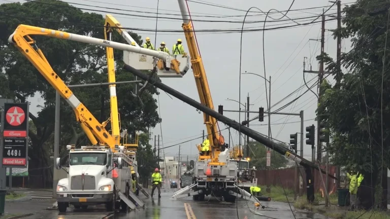
  • 1 dead as Hurricane Lowell passes west of Niʻihau, knocks out power to 90% of Kauaʻi, Hawaii

    One person died on Oʻahu as Hurricane Lowell passed the Hawaiian Islands late on September 7, 2026 (local time), while the storm’s core passed near Niʻihau with maximum sustained winds of 175 km/h (110 mph). Approximately 90% of Kauaʻi Island Utility Cooperative customers were without power the following morning, while numerous roads and Port Allen Small-Boat Harbor sustained severe damage. Preliminary National Weather Service (NWS) observations included a gust of approximately 150 km/h (92 mph) at Puʻu Lua and a 72-hour rainfall total of 536.2 mm (21.11 inches) at Kilohana.

  • First-ever Tornado Watch reported for Hawaii as Hurricane Lowell passes west of Niʻihau

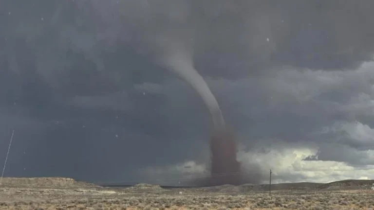
    The National Weather Service (NWS) issued a Tornado Watch 1 for Kauaʻi County, including Kauaʻi and Niʻihau, and adjacent coastal waters at 16:13 HST on September 7, 2026 (02:13 UTC on September 8), as Hurricane Lowell approached the western Hawaiian Islands. The watch, an exceptionally rare issuance for Hawaiʻi, remains in effect until 04:00 HST (14:00 UTC) on September 8, with several tornadoes possible near Kauaʻi and Niʻihau and a few possible elsewhere across the state.

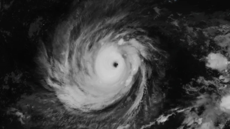
  • Hurricane Lowell weakens to Category 4 after briefly regaining Category 5, Hawaii under State of Emergency

    Hurricane Lowell reached Category 5 strength with winds of 260 km/h (160 mph) before weakening slightly to Category 4 south of Hawaii late on September 4. Heavy rainfall, life-threatening surf and possible wind and storm-surge impacts remained forecast for portions of the state through early next week, particularly around Kauaʻi County.

  • Major storm hits Hawaii with damaging winds and extreme rainfall, causing widespread power outages

    A powerful storm system impacted Hawaii between February 8 and 10, 2026, producing heavy rainfall, flash flooding, landslides, and damaging winds. Wind gusts frequently exceeded 95 km/h (60 mph), with localized gusts approaching 115 km/h (70 mph), leading to road closures, including along Maui’s Hāna Highway, downed trees, and intermittent power outages affecting tens of thousands of customers on Oʻahu, Maui, and Hawaiʻi Island.

  • Winter storm warnings issued for Hawaii ahead of a severe storm

    Strong winds, heavy rain, and the potential for thunderstorms are expected as a winter storm develops northwest of Hawaii on Wednesday, January 29, 2025, impacting the islands through Friday, January 31. A Winter Storm Watch and Gale Watch have been issued for affected areas.

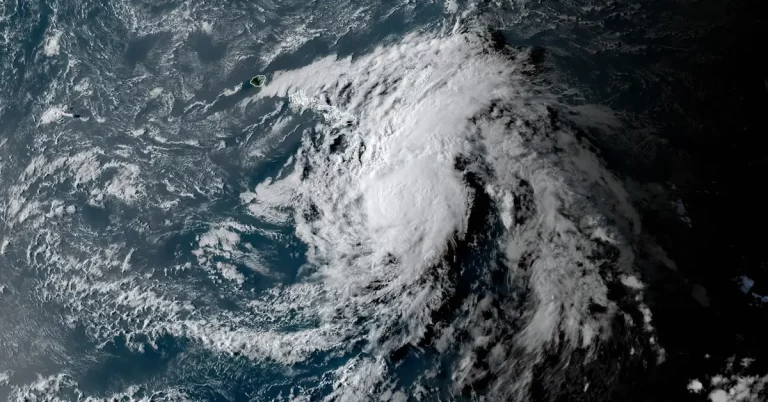
  • Late-season Kona low to strike Hawaii with severe weather

    A Kona low forming north of Hawaii is expected to bring heavy rainfall, thunderstorms, and flash flooding to the islands beginning Tuesday evening, May 14, 2024. The event comes after a weekend of heavy rains flooded major roads in Windward Oahu and triggered landslides on May 13.