• High Risk of excessive rainfall covers Florida’s Space Coast as St. Johns River near Cocoa reaches 5.67 m

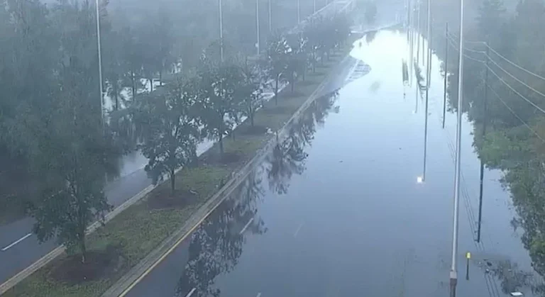
    Parts of Florida’s east coast between Daytona Beach and Melbourne face a High Risk of excessive rainfall from 12:00 UTC Friday, November 20, through 12:00 UTC Saturday, November 21, after multiple reports of 152–305 mm (6–12 inches) of rain in Brevard County. The St. Johns River near Cocoa reached 5.67 m (18.6 feet) early Friday, well into major flood stage.

  • Wildfires disrupt Amtrak rail services and strand passengers in Florida

    Amtrak partially suspended rail operations in Florida on April 20, 2026, due to wildfires in Putnam and Clay counties, which have burned approximately 1 093 – 1 214 ha (2 700 – 3 000 acres). Passenger trains were halted as a precaution, including Train 98 from Miami to Jacksonville carrying 232 passengers.

  • Rare Flash Flood Emergency declared in Lake County after 480 mm (19 inches) of rain, Florida

    More than 19 inches (483 mm) of rain fell within a few hours across Lake County, Florida, on October 26, 2025, prompting the National Weather Service in Melbourne to issue a rare Flash Flood Emergency. Severe thunderstorms caused extensive inundation in Central Florida, submerging vehicles and closing roads in Eustis, Mount Dora, and Titusville. Flood Warnings remain in effect along the St. Johns River as additional storms affect the region on October 27.

  • Heavy rainfall and flash flooding threaten Florida and Gulf Coast as Invest 93L moves westward

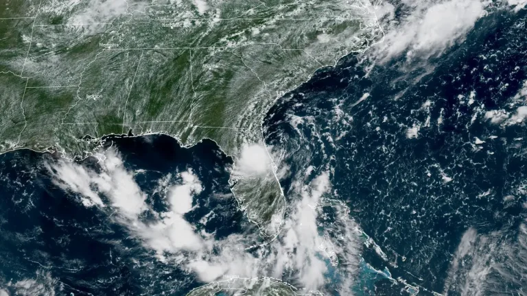
    A low-pressure system designated Invest 93L is moving westward across the Florida Peninsula on July 15, 2025, with a medium chance of tropical cyclone development in the northeastern Gulf by mid-week. The system could become a tropical depression or Tropical Storm Dexter later this week, potentially affecting the northern Gulf Coast with heavy rain and localized flooding.

  • Flash flooding expected in Mid‑Atlantic and Florida due to record moisture and slow-moving storms

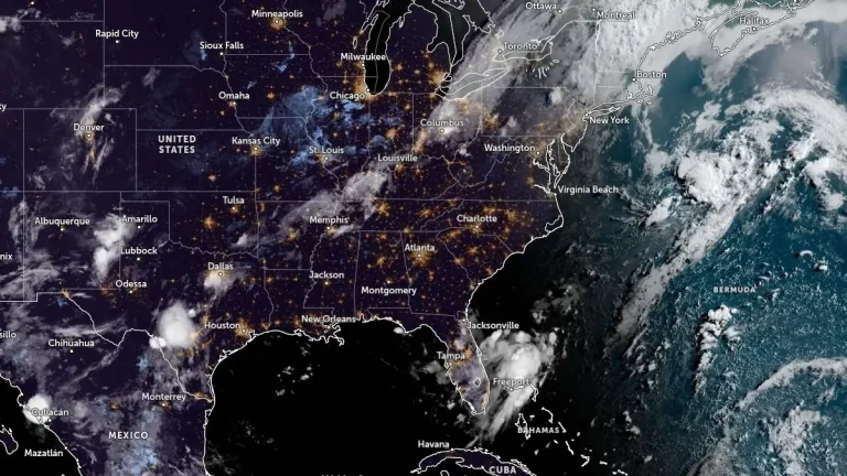
    Flash flood potential is elevated across several U.S. regions, with a Moderate Risk (level 3/4) in effect for the I-95 corridor in the Mid‑Atlantic from July 14 into July 15, 2025, due to a slow-moving frontal boundary and record-setting atmospheric moisture. Elevated flash flood risk also exists across the Florida Peninsula as deep tropical moisture and slow-moving storms impact the region.

  • Heavy rain and flooding risk in Florida, Saharan dust to follow

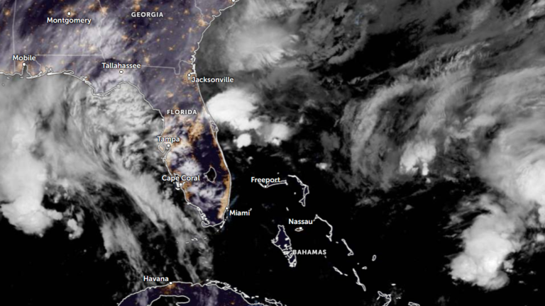
    A slow-moving storm system is producing heavy rain across South Florida and the Florida Keys as of June 2, 2025, affecting areas previously under drought conditions. Rainfall is forecast to continue through June 4, with cumulative totals possibly exceeding 150 mm (6 inches) and increasing the risk of flash flooding.