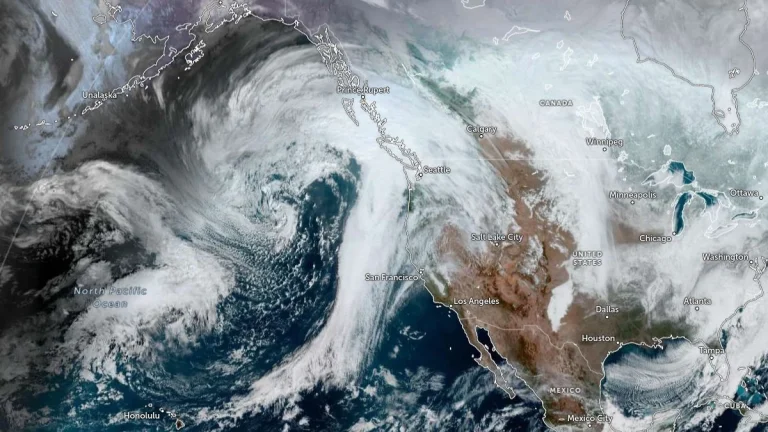
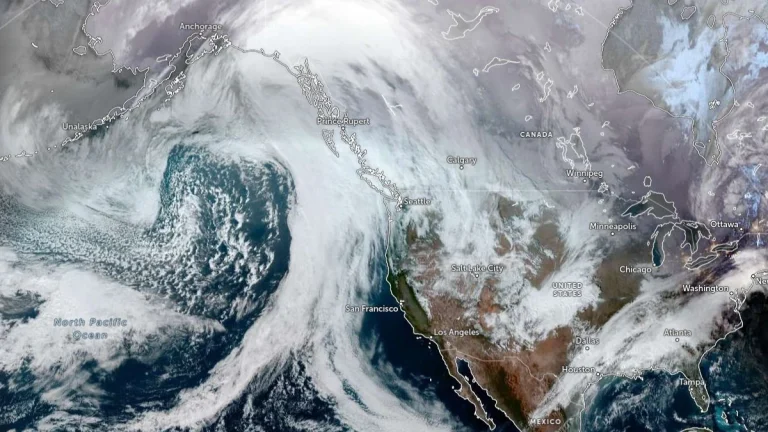
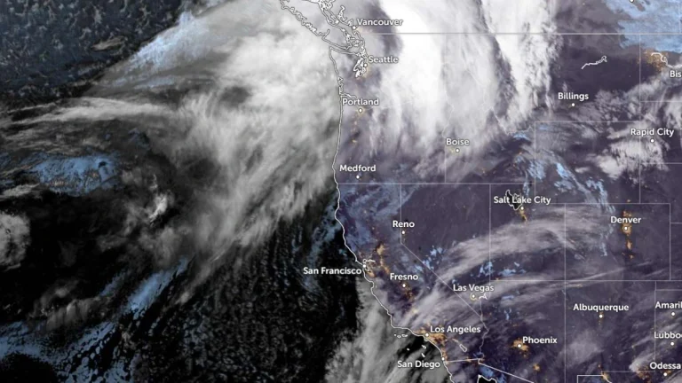
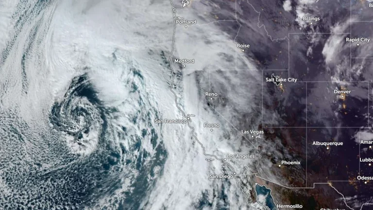
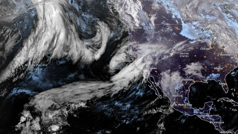
• Beneficial Sierra Nevada snowfall expected as weak atmospheric river moves through California

    A short-duration atmospheric river is forecast to impact California from Tuesday, February 10, through Thursday, February 12, 2026, bringing low-elevation rainfall and significant snowfall at higher elevations, particularly across the Sierra Nevada. Forecast guidance indicates the event will be short-lived, with impacts expected to be largely beneficial for regional snowpack rather than flood-producing.

  • Cascades snowpack remains below 50 percent following late January storms

    Four atmospheric rivers affected the Pacific Northwest between January 27 and February 1, 2026, producing 150–300 mm (6–12 inches) of rain in the Olympic Mountains and 100–200 mm (4–8 inches) in the North Cascades. Snowfall reached up to 900 mm (36 inches) in high elevations near Mount Rainier, while snowpack remains below 50% of normal.

  • Series of atmospheric rivers forecast to bring heavy rain to the Pacific Northwest this week

    Four atmospheric rivers (ARs) are forecast to impact the Pacific Northwest from Tuesday, January 28 through January 31, 2026, bringing several days of moderate to heavy precipitation, with rainfall totals reaching 125–250 mm (5–10 inches) over the Olympic Peninsula and 50–125 mm (2–5 inches) across the Willapa Hills, northern Oregon Coast Ranges, and Washington Cascades.

  • Remnant Alaska atmospheric river to merge with second plume, bringing prolonged AR conditions to western Washington

    An atmospheric river that impacted Alaska on January 9, 2026, is forecast to propagate down the coast and merge with a second plume, delivering a 48–72-hour period of AR conditions over western Washington from January 10 to 12. Forecast guidance indicates 100–150 mm (4–6 inches) of rain over the Olympic Peninsula, 50–100 mm (2–4 inches) over the northern Washington Cascades, and 25–50 mm (1–2 inches) over the Cascade foothills, with freezing levels rising above 1 830 m (6 000 feet).

  • Two winter storms forecast to bring heavy mountain snow and rain to the Pacific Northwest

    Two frontal systems are forecast to bring widespread precipitation and heavy mountain snow to the Pacific Northwest between Tuesday and Thursday, January 6 and 8, 2026. The first, associated with a weakening atmospheric river, will bring rainfall to the region on Tuesday, followed by a second, stronger system on Wednesday and Thursday, January 7–8. Snowfall totals of 30–120 cm (12–48 inches) are expected across the Cascades and Olympic Mountains, with locally higher amounts above 1 500 m (5 000 feet).

  • Alberta clipper reinforces lake-effect snow as heavy rain targets southern California into the New Year

    A surge of Arctic air, reinforced lake-effect snowfall, and an atmospheric river are forecast to affect large portions of the United States from December 31, 2025, into January 2, 2026. Heavy snow is expected downwind of the Great Lakes and across parts of the Northeast, while southern California faces a flash flood risk as an atmospheric river moves onshore around New Year’s Day.