• Severe storms and flash flooding forecast across the Plains, Midwest, and eastern U.S. through June 23

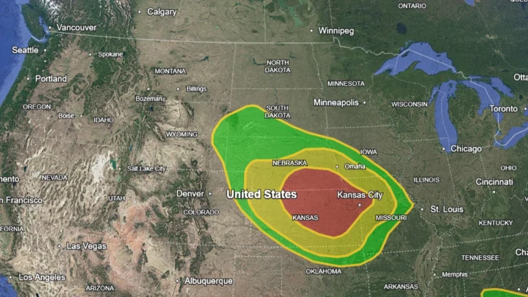
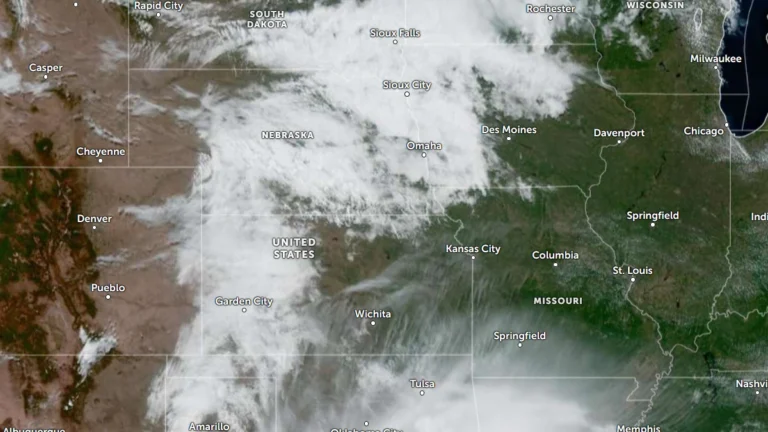
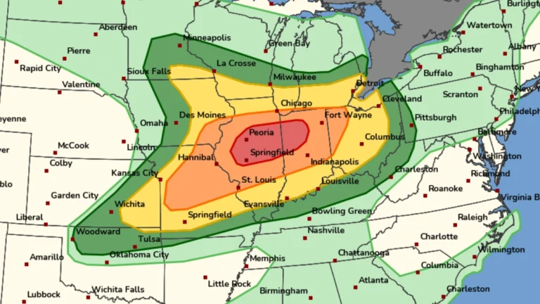
    A multi-day severe weather outbreak is forecast to affect large portions of the central and eastern United States through Tuesday, June 23, 2026. Forecasters are warning of scattered to widespread flash flooding in parts of Nebraska, Kansas, and Missouri under a Moderate Risk of excessive rainfall, while severe thunderstorms capable of producing very large hail, damaging winds, and tornadoes develop across the Plains and Midwest.

  • NWS confirms EF3 tornado in Effingham County, seven tornadoes confirmed across central Illinois

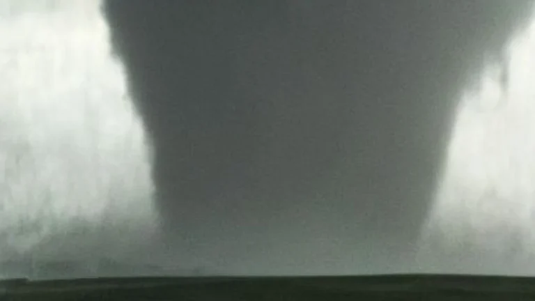
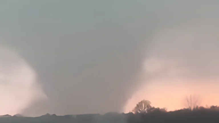
    The National Weather Service (NWS) Central Illinois office confirmed seven tornadoes across central Illinois following severe thunderstorms on June 17, 2026, including an EF3 tornado with peak winds of 241 km/h (150 mph) that tracked 42.2 km (26.2 miles) through Effingham County and injured two people. The surveys documented tornadoes affecting portions of Effingham, Jasper, Coles, Menard, Sangamon, Christian, Macon, Shelby, and Moultrie counties.

  • 1 injured as tornadoes rip through central Illinois, emergency declaration issued in Charleston

    Multiple reported tornadoes affected parts of the Midwest on June 17, 2026, causing widespread damage in Illinois. At least one person was injured in Coles County after a reported tornado touched down near Mattoon. Severe damage and gas leaks were reported in Effingham, while a Local State of Emergency was declared for Charleston due to the storm damage.

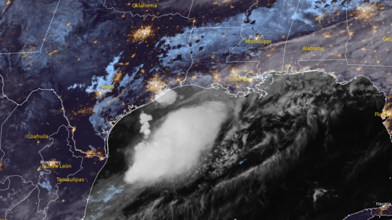
  • Flood threat expands along Gulf Coast as Potential Tropical Cyclone One nears Louisiana

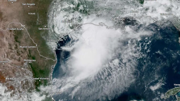
    Heavy rainfall, flash flooding, storm surge, and isolated tornadoes are expected across portions of the Gulf Coast as Potential Tropical Cyclone One tracks along the Texas coast on June 17, 2026. While the system is unlikely to develop into a tropical cyclone, it could bring rainfall totals of up to 500 mm (20 inches) to some areas along with the severe weather.