• Evacuation orders remain near Santa Clarita after Bouquet Fire burns 424 ha (1 048 acres) in Los Angeles County, California

    Evacuation orders remained in effect northeast of Santa Clarita early on October 5, 2026, after the Bouquet Fire burned 424 ha (1 048 acres) in the Angeles National Forest and reached 48% containment late on October 4. The fire expanded from 8 ha (20 acres) to approximately 405 ha (1 000 acres) in less than 3.5 hours on October 3, prompting road and recreation-area closures.
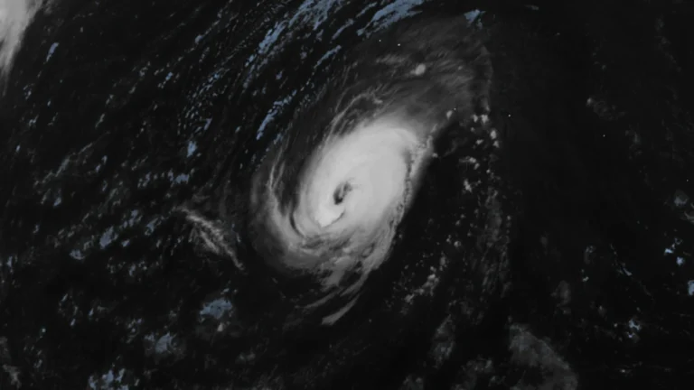

  • Hurricane Nolo forecast to cross International Date Line into western North Pacific, transitioning into a typhoon

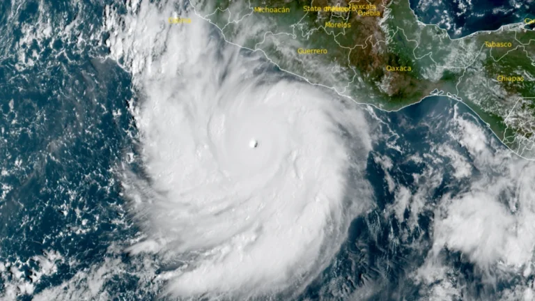
    Hurricane Nolo was forecast to cross 180° longitude on October 4, 2026, and enter the western North Pacific at typhoon strength. At 23:00 HST on October 3 (09:00 UTC on October 4), the National Hurricane Center (NHC) placed Nolo 390 km (240 miles) southwest of Lisianski Island with maximum sustained winds of 175 km/h (110 mph).

  • Flash flooding kills one, prompts around 90 rescues in Madrigueras, Spain

    Flash flooding killed a 102-year-old woman and prompted the rescue of around 90 people in Madrigueras, Albacete Province, Spain, on October 2, 2026, after more than 140 mm (5.51 inches) of rain fell in approximately two hours. Regional authorities kept METEOCAM at Emergency Phase, Operational Situation 1, on October 3 as recovery and cleanup operations continued.

  • California heat wave triggers Heat Advisories and Extreme Heat Warnings through October 8

    A long-duration October heat wave is affecting California under an anomalous ridge over the western United States, with Heat Advisories and Extreme Heat Warnings in effect from Northern and Central California into Southern California. The NOAA/NWS Weather Prediction Center (WPC) forecasts October 3 as the hottest day of the short-range period, with temperatures about 8–11°C (15–20°F) above normal and some valleys reaching approximately 42°C (107°F).

  • October heat records reported across southern China after temperatures reach 39.5°C (103.1°F)

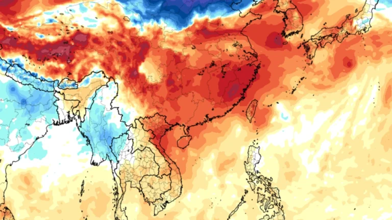
    Late-season heat affected southern China from September 25 into early October 2026, with official reports placing temperatures at 39.5°C (103.1°F) in Qiaojia, Yunnan, 39.1°C (102.4°F) in Yongding, Fujian, and 38.0°C (100.4°F) in Guangxin, Jiangxi. An independent analysis of station data identified 62 October maximum-temperature records on October 1 and another 18 on October 2, although Chinese meteorological authorities have not published an equivalent record count.

  • Floods and landslides kill at least 32 in Nepal, Himlung avalanche toll reaches 11

    Floods, landslides, and other rain-related disasters have killed at least 32 people across Nepal since September 24, 2026, while rescue teams have recovered 11 bodies from the September 27 Himlung Himal avalanche. Updated figures from Baglung and Manang raised the combined minimum from all incidents to at least 43 by October 1, with five avalanche victims still missing.

  • September 28 CME expected to deliver glancing blow to Earth on October 2, geomagnetic storm forecast

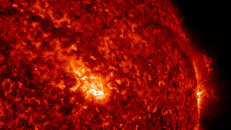
    NOAA’s Space Weather Prediction Center (SWPC) issued a G1 – Minor geomagnetic storm watch for October 2, 2026, following a large filament eruption and associated coronal mass ejection (CME) on September 28. SWPC expects glancing effects from the CME, while NASA models place its arrival near the start of October 2 with an uncertainty of several hours.

  • Hurricane Polo and remnants of Odalys bring heavy rain and flash flood risk across the Four Corners region, U.S.

    Heavy rain is forecast across the Four Corners region through 05:00 PT (12:00 UTC) on September 30, with 50–100 mm (2–4 inches) expected across much of eastern Arizona, western New Mexico, and the San Juan Mountains of southwestern Colorado. Moderate Risk excessive-rainfall outlooks, level 3 of 4, cover much of Arizona and New Mexico and parts of southern Utah and southern Colorado, corresponding to a ≥40% probability of flash flooding.

  • Nor’easter exits after days of heavy rain and coastal flooding across U.S. Northeast

    A slow-moving nor’easter weakened off New England on September 28, 2026, after producing an NWS-listed gust of 130 km/h (81 mph) at Montauk Point, nearly 160 mm (6.3 inches) of rain in southeastern Massachusetts and measured coastal inundation above 0.8 m (2.6 feet) in New York City. PSEG Long Island recorded more than 128 000 cumulative outages across Long Island and the Rockaways, with power restored to more than 99% of affected customers by late September 28.

  • Hurricane Polo makes landfall south of Las Barrancas, Baja California Sur, Mexico

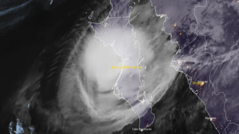
    Hurricane Polo made landfall on the west coast of Baja California Sur just south of Las Barrancas at approximately 23:00 MST on September 28 (06:00 UTC on September 29), with maximum sustained winds of 175 km/h (110 mph), according to the US National Hurricane Center (NHC). Life-threatening winds and flash flooding were ongoing, and Polo was forecast to cross the peninsula before making a second landfall in southern Sonora as a hurricane on Tuesday morning.