
Strong cold front to push across the central U.S., bringing significant drop in temperatures
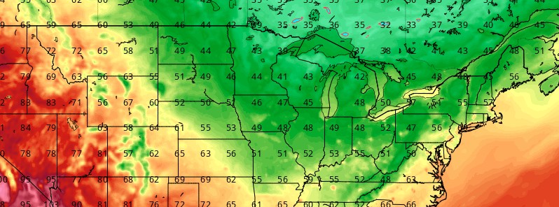
Featured image: 2-m temperatures on October 2, 2020. Credit: GFS, TropicalTidbits
A strong cold front will push across the central U.S. through the first half of the week, bringing thunderstorms, a significant drop in temperatures, and a return to below normal readings in its wake.
Showers and thunderstorms are expected to continue developing along and behind a cold front as tracks through the eastern third of the U.S. through the first half of the week, NWS forecaster Mullinax noted on September 28.
Excessive rainfall is possible in parts of the southern Appalachians and along the Southeast coast on Monday, September 28.
The front is forecast to slow down as it reaches the East Coast on Tuesday, which along with increasingly rich moisture ahead of it, raises the threat for heavy rainfall accumulations spreading north from the Southeast into the Northeast by late Tuesday.
A Slight Risk for flash flooding has been issued from the Carolinas to the northern Mid-Atlantic on Tuesday.
The cold front progresses so slowly that a marginal risk for flash flooding is also in place from the Carolinas to New England on Wednesday, thus keeping heavy rain and thunderstorms in the forecast through mid-week.
"Following a modest cooldown which will push high temperatures 3 – 6 °C (5 – 10 °F) below late-September averages early this week, the region will see a more drastic cool-down for the second half of the week," AccuWeather meteorologist Renee Duff said.
By Friday, October 2, temperatures across the Upper Midwest and western Great Lakes will be 6 to 11 °C (10 – 20 °F) below normal, followed by widespread highs of 6 – 8 °C (10 – 15 °F) on Saturday across the Great Lakes, Midwest, and Ohio and Tennessee valleys.
"This air mass will be most remembered for its chilly daytime temperatures, rather than very low temperatures at night, due to cloud cover and a breeze," according to AccuWeather Senior Meteorologist Alex Sosnowski.
"Temperature-wise, above-normal temperatures will stick around through Monday from the eastern Ohio Valley and northern Mid-Atlantic, while persisting through Tuesday across the Northeast," Mullinax said.
"Following a weekend of well above normal temperatures, Monday is forecast to be dramatically cooler across the Nation's Heartland and the Rockies.
"This large dome of below normal temperatures advances east on Tuesday into the Southeast and the Ohio/Tennessee Valleys where highs will struggle to get out of 15 – 21 °C (60 – 70 °F).
"By Wednesday, the much below normal air-mass makes its way into the Mid-Atlantic while another cold front ushers in a reinforcing shot of below normal temperatures across the North-Central U.S. on Wednesday."
I'm a dedicated researcher, journalist, and editor at The Watchers. With over 20 years of experience in the media industry, I specialize in hard science news, focusing on extreme weather, seismic and volcanic activity, space weather, and astronomy, including near-Earth objects and planetary defense strategies. You can reach me at teo /at/ watchers.news.
Commenting rules and guidelines
We value the thoughts and opinions of our readers and welcome healthy discussions on our website. In order to maintain a respectful and positive community, we ask that all commenters follow these rules.