
Missouri River nears record runoff, Army Corps increasing water discharge, USA
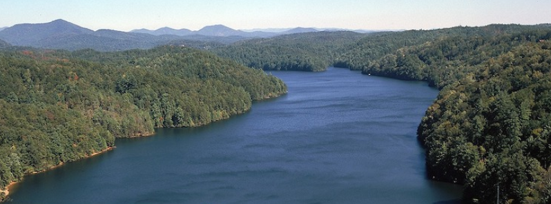
Image credit: Storm Water Solutions
The U.S. Army Corps of Engineers is increasing water discharge in the upper Missouri River dam system after recent heavy rains pushed the upper Missouri River near record runoff. The events are taking place just a few months before the river needs to be set for the winter season.
Broad areas of Montana, North Dakota, South Dakota and Nebraska have received precipitation more than 400% of the normal amount seen during the first two weeks of September, said Kevin Low with the National Weather Service's Missouri Basin Forecast Center. The weather service has multiple recordings of areas of South Dakota receiving more than 228 mm (9 inches) of rain in a 72-hour period.
According to NWS, the expected crest of the river will be on September 23, at 6.5 m (21.3 feet).
Last week, the Army Corps said that releases from Gavins Point Dam will be reduced to 1 699 cubic meters per second (60 000 cubic feet per second) through the weekend and will not last longer than three days. The reduction should reduce the peak stage between Sioux City and Omaha.
John Remus, the chief of the Corps' Missouri River Basin Water Management Division stated, "we are reducing releases from Gavins Point Dam to try to reduce the chances of floodwater reaching Interstate 29 north of Omaha."

Image credit: US Army Corps of Engineers
The previous rain pushed the upper Missouri River basin close to breaking the record for runoff, reports said. The corps is expecting this year's runoff to be at 72.5 billion m3 (58.8 million acre-feet), which is two times more than the average yearly runoff and just short of the record set in 2011 of 7.5 billion m3 (61 million acre-feet).
Kevin Grode, an engineer with the Army Corps, explained, "all of this rain falling on wet, saturated soils, which was caused by the above-average rain received in July and August, has resulted in most of that rain becoming direct runoff, filling up the tributaries, which then drain into the Missouri River upstream of the mainstem projects."
Commenting rules and guidelines
We value the thoughts and opinions of our readers and welcome healthy discussions on our website. In order to maintain a respectful and positive community, we ask that all commenters follow these rules.