Magnitude 6.3 earthquake near Vanuatu

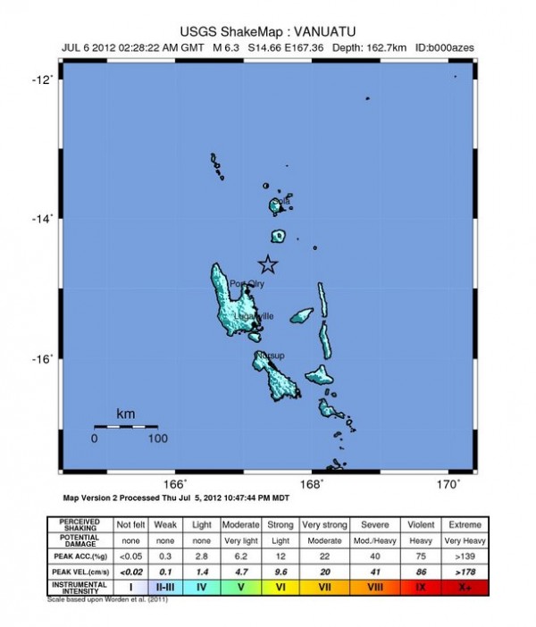
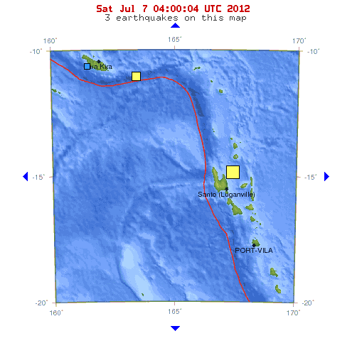
Deep magnitude 6.3 earthquake struck area of Vanuatu on Friday, July 6, 2012 at 02:28 UTC. The epicenter was located 46 km (28 miles) north-northeast of Port-Olry. Epicenter was registered at depth of 162.7 km (101 miles). Considering the depth, this earthquake was not dangerous and there were no reports of damages or casualties. No tsunami alert was issued.


| Magnitude | 6.3 |
|---|---|
| Date-Time |
|
| Location | 14.664°S, 167.357°E |
| Depth | 162.7 km (101.1 miles) |
| Region | VANUATU |
| Distances | 46 km (28 miles) NNE of Port-Olry, Vanuatu 93 km (57 miles) N of Luganville, Vanuatu 355 km (220 miles) NNW of Port-Vila, Vanuatu 689 km (428 miles) N of We, New Caledonia |
| Location Uncertainty | horizontal +/- 13.8 km (8.6 miles); depth +/- 5.9 km (3.7 miles) |

[…] Magnitude 6.3 earthquake near Vanuatu Deep magnitude 6.3 earthquake struck area of Vanuatu on Friday,… […]