
Two earthquakes in 15 minutes – 5.1 (5.4) Aegean sea, 4.7 western Mediterranean sea
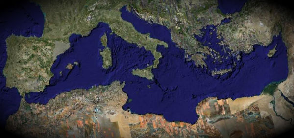
Image credit: TW
Magnitude 5.1 earthquake occured in Aegean Sea in Greece at 03:31:07.0 UTC according to EMSC. The epicenter was located 16 km southwest of Kariaí, 93 km south of Kavála and 119 km southeast from Thessaloníki (40.170°N, 24.045°E) at depth of 1km (0,62 miles). USGS recorded magnitude 5.4 at depth of 9.7 km (6.0 miles) while GEOFON registered 5.2 magnitude at depth of 10 km (6.2 miles).


Tectonic summary
The earth’s lithosphere beneath the eastern Mediterranean constitutes a broad boundary region between three major tectonic plates, the Eurasia, Africa, and Arabia plates. The motions of the major plates drive smaller plates, and it is the shapes and motions of these smaller plates that determine the locations and focal mechanisms of most earthquakes in the region. The seismotectonics of southern Greece are governed primarily by the motion of the Africa plates with respect to the relatively small Aegean Sea plate.

Most shallow earthquakes in central and northern Greece (depths less than 50 km) result from interaction between the Eurasia plate and the small Aegean Sea plate, which is moving southwest with respect to the Eurasia plate with a velocity of about 30 mm/year. The boundary between the Aegean plate and the Eurasia plate in central and northern Greece is diffuse. Seismicity is concentrated in east-trending and northeast-trending zones of deformation. The east-trending zones are most prominent in mainland Greece, are characterized by predominantly normal faulting, and have produced earthquakes with magnitudes of about 7. The northeast-trending belts are characterized by predominately strike-slip fault earthquakes. A northeast-trending zone of predominantly strike-slip earthquakes occurs off the west coasts of Cephalonia and Lefkada, western Greece, and other northeast-trending zones occur beneath the Aegean Sea east of the Greek mainland. In the twentieth century, an earthquake of magnitude 7.2 occurred on a northeast-trending strike-slip fault beneath the northern Aegean Sea.

Another earthquake magnitude 4.7 according to EMSC occur 16 minutes later in western Merditerranean sea, at 03:47:39 UTC with epicenter located 92 km west of Ajaccio, 159 km (98 miles) northwest of Sassari, Sardinia, Italy, 189 km (117 miles) southeast of Toulon, France and 192 km (119 miles) south of Nice, France (41.985°N, 7.659°E) with depth of 2km (1.2 miles).
Commenting rules and guidelines
We value the thoughts and opinions of our readers and welcome healthy discussions on our website. In order to maintain a respectful and positive community, we ask that all commenters follow these rules.