
Shallow M6.0 earthquake hits Bismarck Sea, P.N.G.
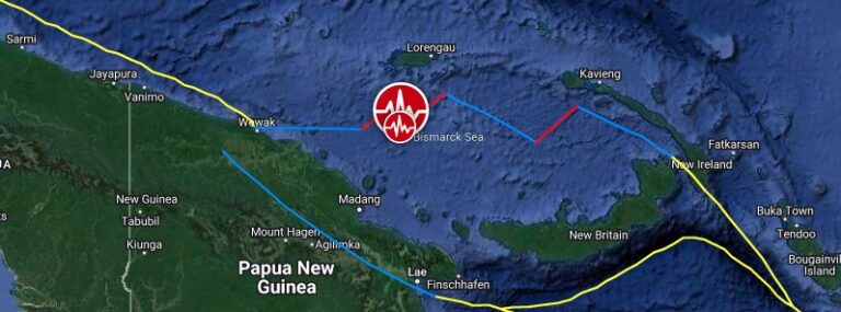
A strong and shallow earthquake registered by the USGS as M6.0 hit the Bismarck Sea, Papua New Guinea at 13:21 UTC on April 28, 2022. The agency is reporting a depth of 10 km (6.2 miles). EMSC is reporting the same magnitude and depth. The epicenter was located about 171.3 km (106.4 miles) NE of…