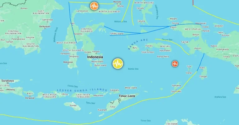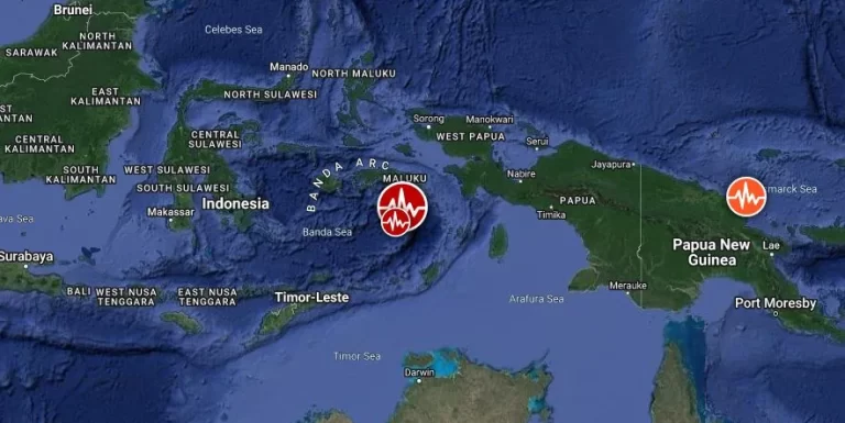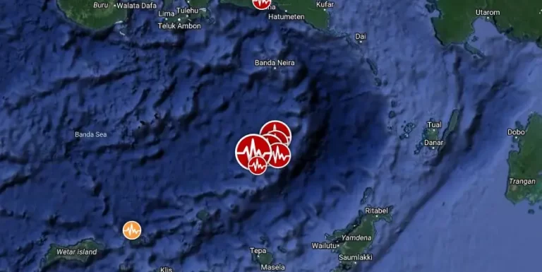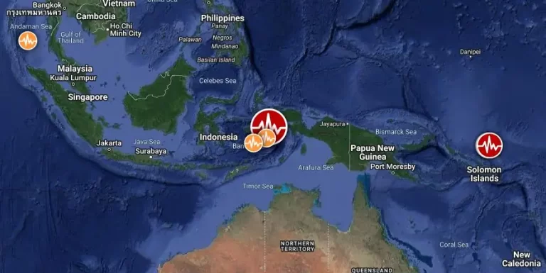
Strong M6.4 earthquake hits Banda Sea, Indonesia
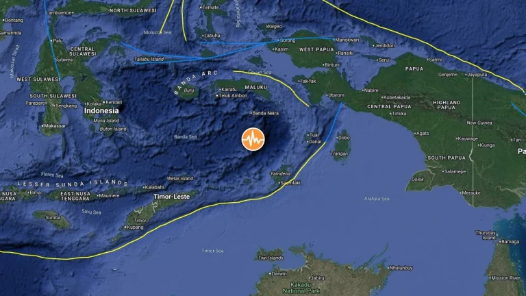
A strong earthquake registered by the USGS as M6.4 struck the Banda Sea, Indonesia, at 14:40 UTC on October 28, 2025. The agency is reporting a depth of 144 km (89 miles). EMSC is reporting the same magnitude and depth.