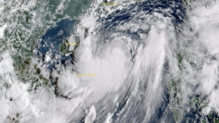
60 000 evacuated as Tropical Storm Tapah makes landfall near Taishan, China
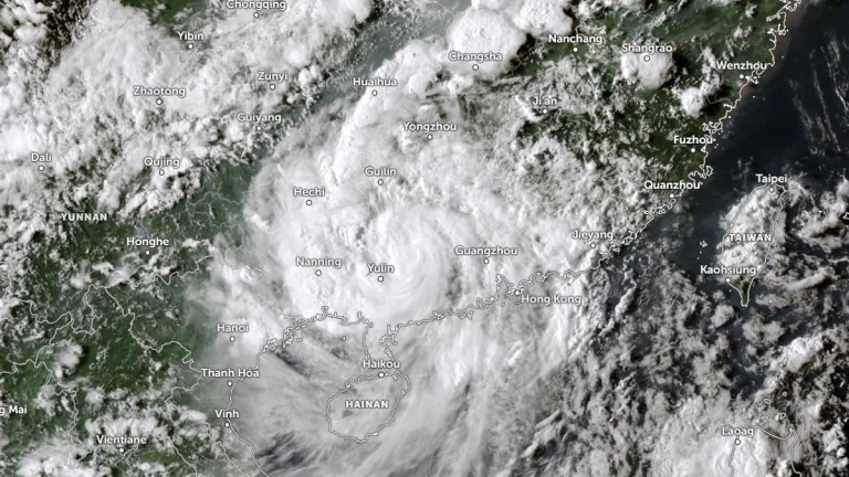
Over 60 000 people were evacuated as Tropical Storm Tapah made landfall near China’s Taishan (Jiangmen), Guangdong Province, at about 00:50 UTC on September 8, 2025. The storm brought severe weather across the province, causing traffic disruption and leaving at least 12 people injured.