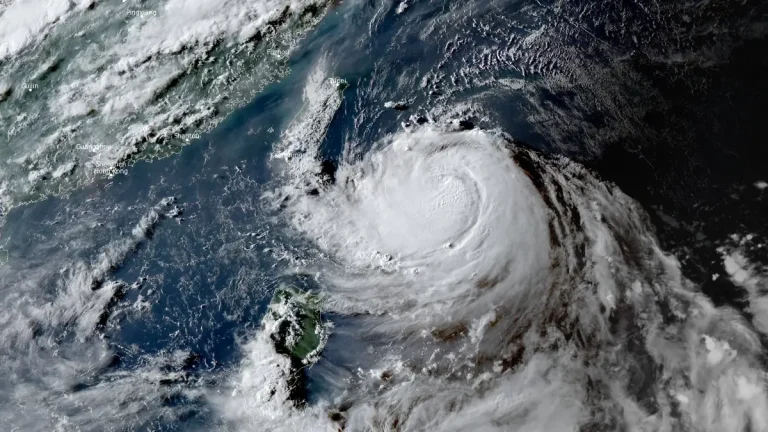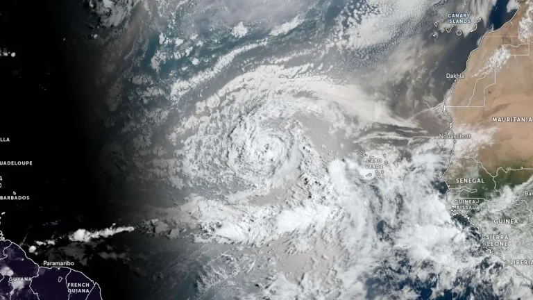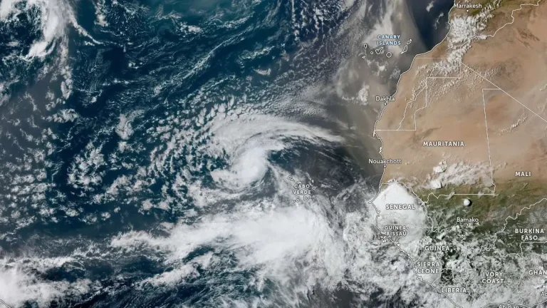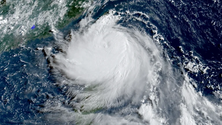
• Typhoon Podul approaching Taiwan with potential for rapid intensification before landfall

    Typhoon Podul is forecast to make landfall near Taitung City, southeastern Taiwan, on August 13, 2025, bringing heavy rainfall, strong winds, and coastal flooding across much of Taiwan, southern Japan, and northern Philippines over the next 48 hours. It is then expected to make a second landfall along the south-central coast of China and potentially penetrate deep inland.

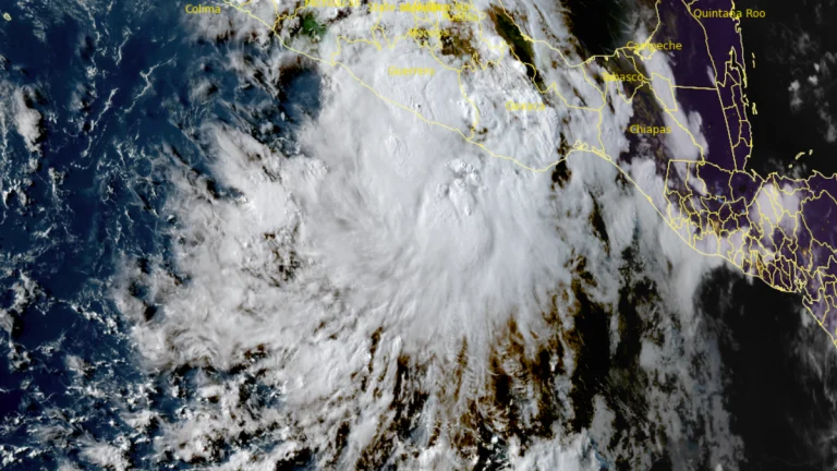
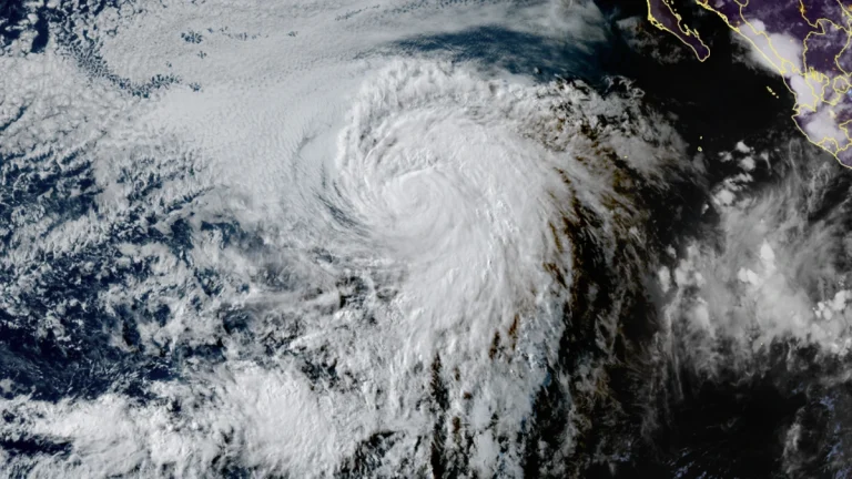
  • Tropical Storm Ivo forecast to bring heavy rains across Mexico

    Tropical Storm Ivo formed on August 6, 2025, off the Pacific coast of Mexico, bringing the threat of flash flooding to the Mexican states of Guerrero, Michoacán, and Colima. While the system is not expected to make landfall, it could strengthen into a hurricane later in the week.

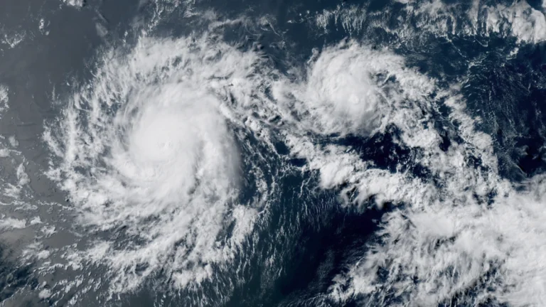
  • Hurricane Gil strengthens in the eastern Pacific

    Tropical Storm Gil strengthened into a hurricane over the eastern Pacific Ocean at 03:00 UTC on August 2, 2025 (17:00 HST on August 1), according to the National Hurricane Center. It is now the fourth hurricane of the 20205 eastern Pacific hurricane season.

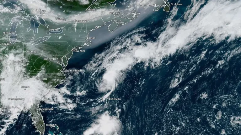
  • Hurricane Iona and Tropical Storm Keli form off the coast of Hawaii

    Hurricane Iona and Tropical Storm Keli formed southeast of Hawaii on July 28, 2025, becoming the first two named cyclones of the 2025 central Pacific hurricane season. Iona was named in the NHC advisory issued at 03:00 UTC and reached hurricane strength by 15:00 UTC the same day. Keli followed approximately 18 hours later, reaching tropical storm strength by 21:00 UTC. Both systems are moving westward and are not expected to make landfall.