• Repeated lava-collapse pyroclastic flows continue at Mayon volcano, Philippines

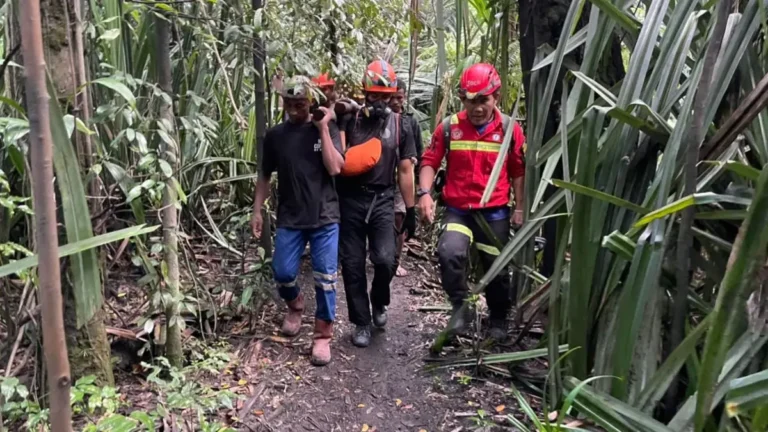
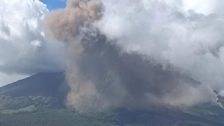
    Mayon volcano remained under Alert Level 3 on Friday, May 8, 2026, with PHIVOLCS reporting lava flows in three gullies, elevated sulfur dioxide emissions, volcanic earthquakes, and repeated lava-collapse pyroclastic flow activity. Today’s observations follow a large eruption sequence on May 2, when collapse-generated pyroclastic flows traveled up to 5 km (3.1 miles), generating widespread ashfall across parts of Albay Province and prompting evacuations affecting thousands of residents.

  • Kīlauea episode 46 ends after 9 hours of lava fountaining, tephra reaches Highway 11, Hawaii

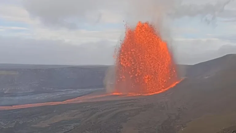
    Episode 46 of the ongoing Halemaʻumaʻu eruption at Kīlauea ended at 17:22 HST on May 5, 2026 (03:22 UTC on May 6), after about 9 hours of continuous lava fountaining from the north vent at the summit. USGS lowered the Volcano Alert Level from Watch to Advisory and the Aviation Color Code from Orange to Yellow after ground and aviation hazards decreased.

  • Lava flow from Stromboli’s North crater reaches coastline, Italy

    Lava overflow activity increased at Stromboli from 21:20 LT (19:20 UTC) on May 4, 2026, sending a flow from the North crater area down the Sciara del Fuoco to the coastline by about 03:00 LT (01:00 UTC) on May 5. INGV reported average volcanic tremor, a slight increase in explosion-related earthquakes, and no significant GNSS change.

  • Intense spattering feeds lava overflow at Stromboli, Italy

    Stromboli’s North Crater area is producing intense spattering on May 4, 2026, feeding a lava overflow onto the Sciara del Fuoco, INGV-OE reported at 11:21 UTC. The lava front was in the middle-upper section of the slope, while volcanic tremor was in the high range.

  • Strong eruption at Mayon volcano generates large pyroclastic flows, heavy ashfall in Albay, Philippines

    Pyroclastic density currents generated by a lava collapse at Mayon volcano in Albay, Philippines, on May 2, 2026, reached an estimated runout distance of 4 km (2.5 miles) along Mi-isi Gully and produced ashfall affecting 52 barangays across Guinobatan, Camalig, and Ligao City. Ashfall reduced visibility to near zero in parts of Camalig, blanketed homes, roads, crops, and grazing land, and prompted face mask distribution and health advisories.

  • Magma accumulation exceeds 25 million m³ beneath Svartsengi, Iceland

    More than 25 million m³ (883 million ft³) of magma has accumulated beneath Svartsengi, Iceland, since the last eruption in July 2025, the Icelandic Meteorological Office (IMO) reported on April 28, 2026. IMO said ground uplift continues at up to 2 cm (0.8 inches) per month, while magmatic dike propagation toward the Sundhnúkur crater row remains the most likely scenario and could lead to an eruption.