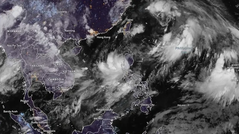
• Typhoon Co-may (Emong) makes landfall in Pangasinan, Philippines

    Typhoon Co-may made landfall over Agno in Pangasinan at 22:40 local time (LT) on July 24, 2025, with maximum sustained winds up to 120 km/h (75 mph) and gusts reaching 165 km/h (103 mph). It is forecast to make a second landfall over La Union or Ilocos Sur on July 25. This is the strongest storm to hit this region in 16 years.
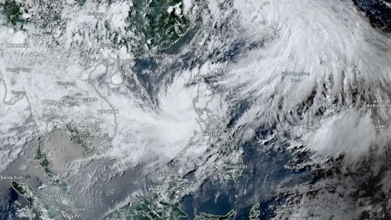
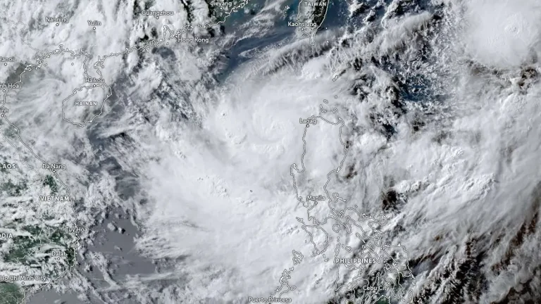
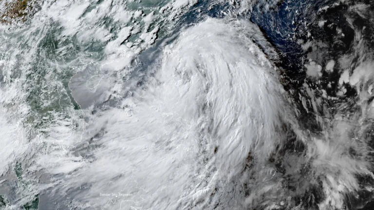
  • Typhoon Co-may (Emong) nearing landfall over Ilocos Region, Philippines

    Typhoon Co-may, known in the Philippines as Emong, is nearing landfall over the Ilocos Region late on July 24, 2025, with maximum sustained winds up to 130 km/h (81 mph) and gusts reaching 184 km/h (114 mph). The system is forecast to weaken after landfall but bring over 200 mm (8 inches) of rainfall across Luzon and Visayas.

  • PAGASA names Tropical Storm Emong, landfall forecast over Ilocos Region within 36 hours

    Tropical Storm Emong was named by PAGASA on July 23, 2025, as the system intensified over the West Philippine Sea. Further intensification is forecast and landfall is expected over Ilocos Sur, La Union, or Pangasinan late Thursday or early Friday. Japan Meteorological Agency (JMA), authority for the basin, has not yet upgraded the system to tropical storm status.

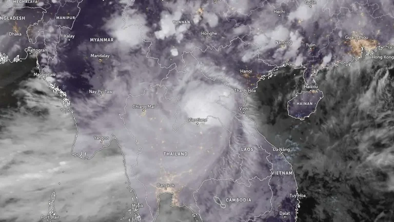
  • Typhoon Wipha strikes southern China, Vietnam braces for landfall and flooding

    Typhoon Wipha made landfall near Taishan, southern China at 09:50 UTC (17:50 local time) on July 20, 2025, producing wind gusts up to 167 km/h (104 mph), torrential rainfall, and widespread transport disruption across Hong Kong and Guangdong. Now a strong tropical storm, Wipha is forecast to re-emerge over the Gulf of Tonkin and make a second landfall in northern Vietnam late on July 22.

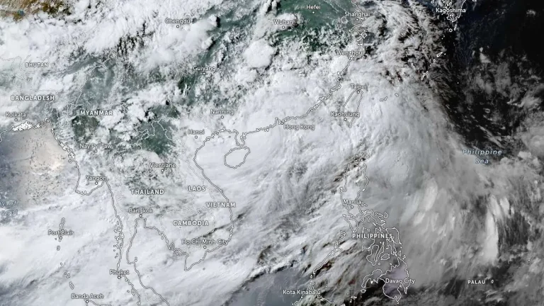
  • Tropical Storm Wipha enhances southwest monsoon, triggers flooding across Luzon, Philippines

    Tropical Storm Wipha, known as Crising in the Philippines, enhanced the southwest monsoon over Luzon, Philippines, on July 18, 2025, bringing heavy rainfall and flooding across multiple regions. The system maintained maximum winds of 75 km/h (47 mph) and gusts up to 90 km/h (56 mph), moving west-northwest at 20 km/h (12 mph) before nearing the Babuyan Islands.

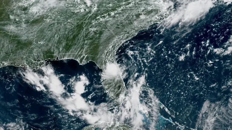
  • Heavy rainfall and flash flooding threaten Florida and Gulf Coast as Invest 93L moves westward

    A low-pressure system designated Invest 93L is moving westward across the Florida Peninsula on July 15, 2025, with a medium chance of tropical cyclone development in the northeastern Gulf by mid-week. The system could become a tropical depression or Tropical Storm Dexter later this week, potentially affecting the northern Gulf Coast with heavy rain and localized flooding.

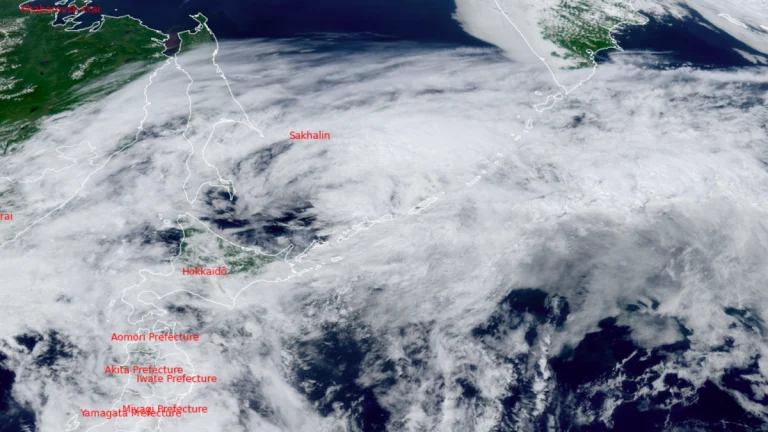
  • Typhoon Nari makes historic landfall over Hokkaido, Japan

    Typhoon Nari made a historic landfall over Cape Erimo in Japan on July 15, 2025, as the first typhoon to make landfall over Japan’s northern main island since 2016 and the first to make landfall in Hokkaido during July since records began. It was the fifth named storm of the 2025 Pacific typhoon season.