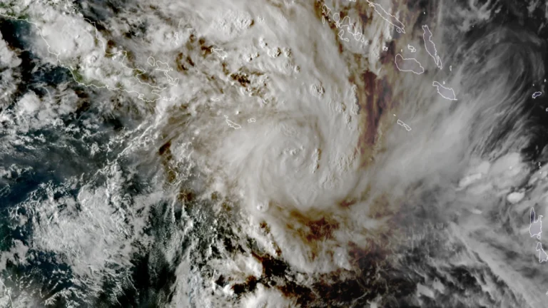
• Extreme winter storm impacts expected in Sierra Nevada as Pacific storms bring up to 2.4 m (8 feet) of snow through February 18

    Multiple storms are forecast to bring heavy snowfall to California through February 18, 2026, with snowfall rates exceeding 76 mm (3 inches) per hour in parts of the Sierra Nevada. Extreme impacts are possible across higher elevations, with travel conditions dangerous to impossible, and 1.2–2.4 m (4–8 feet) of snow forecast above pass level.

  • At least 9 tornadoes reported across Texas, Louisiana and Mississippi, five confirmed EF-1

    Multiple tornadoes touched down across parts of the Southern Plains and the Southeast overnight on February 14, 2026. These include at least five EF-1 tornadoes that have been confirmed in Mississippi and Texas, along with others reported in Louisiana. The twisters were the result of a storm system that brought significant rainfall, localized flash floods, and widespread wind damage to the region over the Valentine’s weekend.

  • Evacuation Warnings issued for Palisades and Eaton burn scars ahead of high-impact winter storm in California

    Evacuation Warnings were issued for residents living near the Palisades and Eaton burn scar areas in Los Angeles County, California, effective from 21:00 LT (05:00 UTC) on Sunday, February 15, through 09:00 LT (17:00 UTC) on Tuesday, February 17, 2026, ahead of a winter storm forecast to bring heavy rainfall. Officials warned that debris flows and mudflows could damage property and pose life-threatening risks in recently burned areas. Winter storm warnings were also issued across parts of California and Nevada for heavy mountain snowfall and strong winds.

  • Red Warning issued for heavy rain across Manawatū, Rangitīkei and Ruapehu Districts, New Zealand

    New Zealand’s MetService issued a Red Warning for heavy rain covering the Manawatū, Rangitīkei, and Ruapehu Districts at 14:36 NZDT (01:36 UTC) on February 15, 2026. The highest-level alert was issued in consultation with Horizons Regional Council as a deep low-pressure system moved south along the eastern North Island, with life-threatening flooding, slips, and river surges expected overnight into February 16. A pre-emptive state of emergency has been declared for the entire Horizons Region.

  • Heavy rainfall and severe storms forecast from Texas to the Carolinas this Valentine’s weekend

    A storm moving from the Southern Plains into the Southeast will generate widespread showers, locally heavy rainfall, and severe thunderstorms across the southern and eastern United States through February 16, 2026. Slight Risk areas for Severe Thunderstorms and Excessive Rainfall extend from east Texas into the lower Mississippi Valley, with additional Marginal Risk areas across the Southeast and Mid-Atlantic.

  • Gezani destroys 18 800 homes, claims 40 lives in Madagascar

    At least 40 fatalities have been confirmed, and over 18 800 homes have been destroyed as of February 13, 2026, since Tropical Cyclone Gezani made landfall over Madagascar. The storm remains active and is forecast to continue intensifying through February 13 while remaining in open waters.

  • Pair of mid-level troughs forecast to bring widespread precipitation to California

    Two mid-level troughs with associated surface lows are forecast to bring widespread precipitation to California between February 14 and 19, 2025. The first system is forecast to begin affecting the state on February 14–15, followed by a second trough deepening offshore from February 16–17. Snowfall totals over the Sierra Nevada could exceed 60 cm (24 inches), while rainfall totals of 25–50 mm (1–2 inches) are forecast across much of the state during the initial 72-hour period.