• Powerful tornado damages school and homes in Marsala, disrupts transport in Western Sicily, Italy

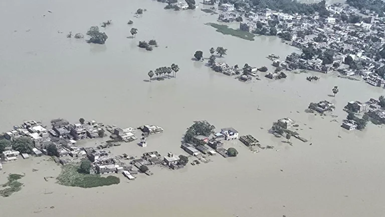
    A large tornado struck Marsala and nearby Petrosino in western Sicily at around 10:00 LT (08:00 UTC) on October 9, 2026, damaging homes, vehicles, utility infrastructure and the Alcide De Gasperi school complex in Contrada Terrenove. Hundreds of students were evacuated, while a later ASP Trapani update said nine people—four children and five adults—were treated at Paolo Borsellino Hospital for minor cuts and abrasions.

  • Tornado threat forecast as Hurricane Isaias strengthens ahead of northern Gulf Coast landfall, United States

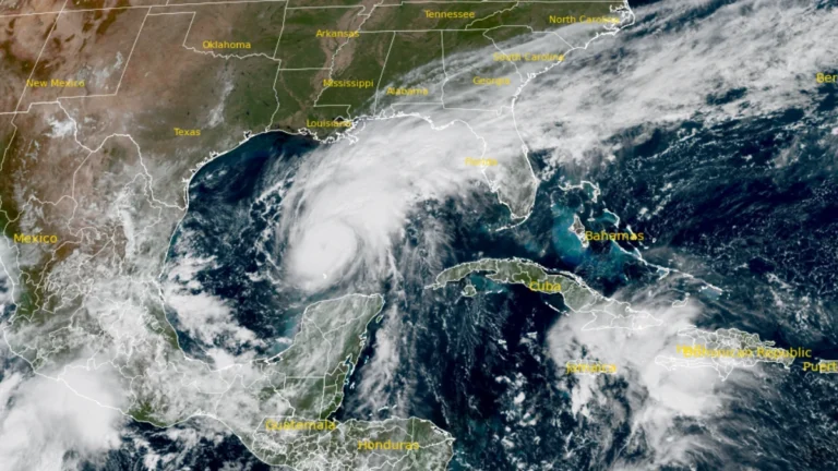
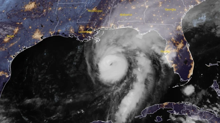
    The Storm Prediction Center (SPC) issued a Slight Risk of severe thunderstorms for parts of the Florida Panhandle, southeastern Alabama, and southwestern Georgia on October 9, 2026, as rainbands from Hurricane Isaias were forecast to bring a tornado threat from the afternoon into the overnight hours. At 09:00 UTC, the National Hurricane Center (NHC) said Isaias had strengthened to 175 km/h (110 mph), with a minimum central pressure of 963 hPa, ahead of an expected northern Gulf Coast landfall Friday night or early Saturday.

  • NOAA gives El Niño an 83% chance of reaching historic strength in late 2026

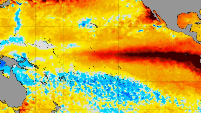
    El Niño strengthened further across the equatorial Pacific in September 2026, and NOAA’s Climate Prediction Center (CPC) said on October 8 that the October–December Relative Oceanic Niño Index (RONI) has an 83% chance of reaching at least +2.5°C (+4.5°F)—a level that would exceed previous El Niño events in its record dating to 1950. The World Meteorological Organization (WMO) separately forecast a Niño-3.4 anomaly of approximately +3.7°C (+6.7°F) for the same period.

  • Life-threatening storm surge of up to 2 m (7 feet) forecast as Hurricane Isaias approaches U.S. Gulf Coast

    Life-threatening storm surge is forecast along the northern U.S. Gulf Coast as Hurricane Isaias approaches landfall. NHC said water could rise 1.5–2 m (5–7 feet) above ground between Ocean Springs, Mississippi, and Indian Pass, Florida, and within Mobile Bay if the peak surge coincides with high tide.saias is forecast to produce 75–180 mm (3–7 inches) of rain from southeastern Louisiana to Florida’s Big Bend from Friday through the weekend, with localized totals approaching 380 mm (15 inches) in the Florida Panhandle and Big Bend. NHC warned of considerable flash and urban flooding and significant river flooding.

  • Strong and shallow M6.3 earthquake hits Vanuatu

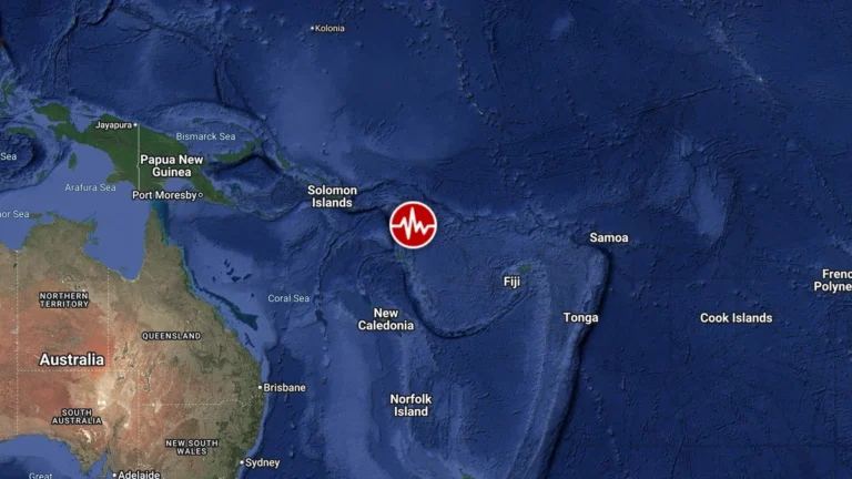
    A strong and shallow earthquake registered by the USGS as M6.3 struck 102 km NE of Norsup, Vanuatu, at 09:00 UTC on October 8, 2026. The agency is reporting a depth of 10 km (6.2 miles). EMSC is reporting M6.3 at a depth of 10 km (6.2 miles). There is no tsunami threat from this earthquake.

  • Hurricane and storm surge watches issued for northern Gulf Coast as Isaias strengthens, U.S.

    Hurricane, storm surge and tropical storm watches were issued for portions of the U.S. northern Gulf Coast on Wednesday morning, October 7, 2026, as Tropical Storm Isaias strengthened over the Gulf of America, according to the National Hurricane Center (NHC). The watches extend from the mouth of the Mississippi River eastward to Yankeetown, Florida.

  • Tropical Depression Nine forms over Gulf of America, forecast to become hurricane before approaching U.S. Gulf Coast

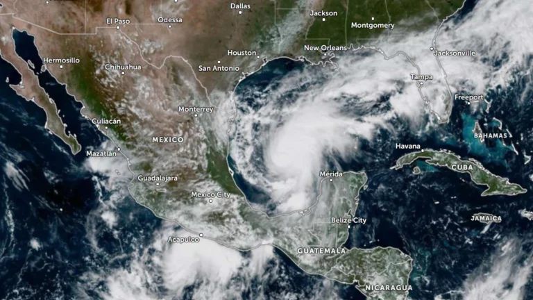
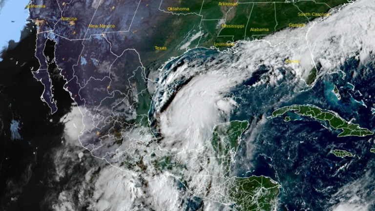
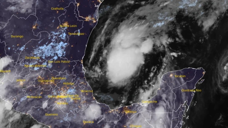
    Tropical Depression Nine formed over the southwestern Gulf of America on October 6, 2026, and is forecast to strengthen into a tropical storm early Wednesday and a hurricane on Thursday. The system is expected to approach the U.S. northern Gulf Coast on Friday, with an increasing risk of dangerous wind, storm surge and heavy rainfall impacts.