
Widespread showers and thunderstorms expected across central U.S. as front stalls through Thursday
A frontal boundary stretching from the Upper Midwest to the Northern Rockies is expected to stall through Thursday, September 11, 2025, producing showers, thunderstorms, and locally severe weather across the central U.S. Tropical moisture is forecast to fuel heavy rainfall in Florida over the same period, while Frost Advisories remain in effect across parts of the Northeast.
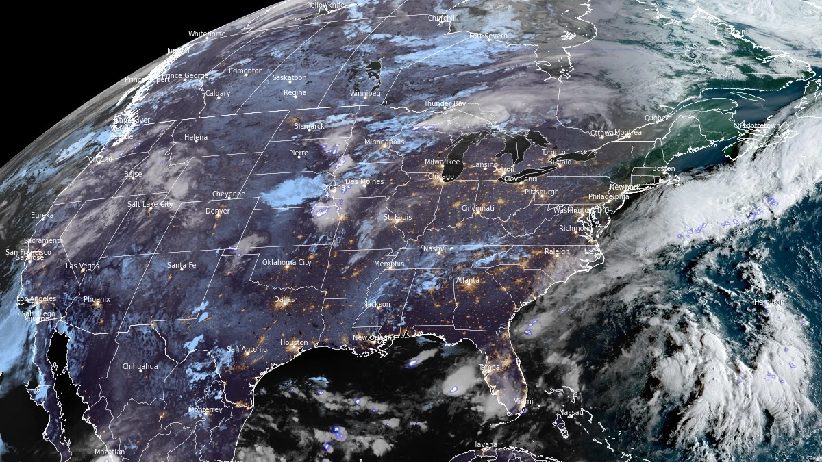
Satellite image of United States at 11:10 UTC (07:10 UTC) on September 9, 2025. Credit: NOAA/GOES-East, RAMMB/CIRA, The Watchers
- A quasi-stationary front will remain in place from the Middle Mississippi Valley to the Northern Rockies through Thursday, September 11, supporting widespread thunderstorms across central U.S.
- Strong to severe thunderstorms are forecast across parts of the Central and Southern High Plains on Tuesday, September 9, with risks of damaging wind gusts, hail, and heavy rainfall.
- Persistent tropical moisture will sustain widespread thunderstorms over Florida and the Central Gulf Coast, with rain reaching coastal New England by Wednesday, September 10.
- An upper-level low will bring prolonged rain and thunderstorms to the Pacific Northwest, Northern California, and the Northern Rockies, while the Northeast faces frost and the Northwest continues to experience poor air quality due to wildfire smoke.
A quasi-stationary front, initially extending from the Upper Midwest across the Northern Plains into the Northern Rockies, is forecast to persist from the Middle Mississippi Valley to the Northern Rockies through Thursday, September 11, according to the National Weather Service (NWS). Moisture flowing northward over the Plains is expected to support the development of showers and thunderstorms from the Upper Great Lakes and Upper/Middle Mississippi Valley into the Central Plains.
On Tuesday, September 9, embedded upper-level energy and surface instability are forecast to enhance convective development, resulting in strong to severe thunderstorms across parts of the Central and Southern High Plains, with primary hazards including damaging wind gusts, isolated hail, and locally heavy rainfall.
A second frontal boundary is forecast to remain nearly stationary over Florida over the same period.
Deep tropical moisture pooling over the Florida Peninsula and the Central Gulf Coast will sustain widespread showers and thunderstorms, reinforced by waves of low pressure traveling along the boundary over the western Atlantic and directing additional moisture westward into the Eastern Seaboard. Light to moderate rainfall may reach as far north as coastal New England by Wednesday, September 10.
In southern Texas, moisture transport from the western Gulf of Mexico will continue to support scattered showers and thunderstorms through Wednesday evening, particularly over the southern tip of the state.

Over the western U.S., a developing upper-level low centered over the Pacific Northwest is forecast to move slowly into Northern California. According to the NWS Weather Prediction Center (WPC), this system will initiate widespread precipitation beginning on Tuesday night, September 9, with rain expected across parts of northern California and the Pacific Northwest.
Precipitation will expand eastward into the Northern Intermountain Region and the Northern and Central Rockies overnight. Rainfall will be accompanied by embedded thunderstorms, with active weather persisting through at least Thursday.
In the Northeast, a cold surface high-pressure system originating from Canada has resulted in unseasonably low morning temperatures, prompting Frost Advisories across parts of the region. Minimum temperatures near or below 0°C (32°F) may impact unprotected vegetation during early morning hours. As of 08:00 EDT on September 8, seven stations reported record-low temperatures, with several others tying or registering within 3°C (5°F) of their previous daily records.
Meanwhile, the Pacific Northwest continues to experience poor air quality due to smoke from ongoing wildfires. As of early Tuesday morning, Air Quality Alerts remain in effect for parts of the region, according to the NWS.
References:
1 Short Range Forecast Discussion – NWS/WPC – 07:27 UTC (03:27 EDT) on September 9, 2025
I'm a dedicated researcher, journalist, and editor at The Watchers. With over 20 years of experience in the media industry, I specialize in hard science news, focusing on extreme weather, seismic and volcanic activity, space weather, and astronomy, including near-Earth objects and planetary defense strategies. You can reach me at teo /at/ watchers.news.
Commenting rules and guidelines
We value the thoughts and opinions of our readers and welcome healthy discussions on our website. In order to maintain a respectful and positive community, we ask that all commenters follow these rules.