
Antarctic low brings storms and sharp cold snap to parts of Australia
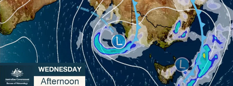
Image credit: BOM. Edit: TW
A sharp cold snap is expected across eastern Australia later this week as warm, humid, springtime weather with showers gives way to a winterlike Antarctic low and real, bitterly wintry cold weather.
The thunderstorm risk is expected first, extending through parts of most States of the eastern half of Australia during the coming days.
"It's a very humid airmass that's developing across the east, as it taps into tropical moisture that builds up across northern Australia at this time of year and gets transported towards the south," said BOM's Senior Meteorologist Dr. Adam Morgan.
"These cold fronts in the Southern Ocean will then push… they'll squeeze that moisture out as they push further east, and that will trigger those showers and thunderstorms. Later on Monday, November 19, the first of those fronts will move into South Australia. We can see that sharp temperature change across the front already, pushing into the mid-30s to the east and dropping back to the low 20s [°C / 68 °F] further west."
The storms will extend into areas of southern NT, New South Wales, Victoria, and also Bass Strait on Tuesday, November 20.
"There's a risk that some storms along the trough will be severe, with damaging winds, and with all of that moisture being squeezed we could a see the chance of heavy rainfall as well," Morgan said.
Some heavier rain may fall on parts of northern Tasmania on Wednesday, November 21. The main storm area will move into northern New South Wales during the afternoon hours, and then into inland Queensland and central parts of the Territory as well.
"While any rainfall will be welcome in regions affected by drought, thunderstorms are always hit-and-miss in nature," Morgan said. "So, while some places might see a good drop, others will see very little."
The cold front will move in on Wednesday and Thursday, November 21 and 22.
"The system is forecast to produce widespread strong to damaging winds up to 120 km/h (75 mph) across Southern and South East districts including Adelaide during Wednesday. These winds are also forecast to whip up huge waves to 7 m (23 feet) in open waters and around 4 m (13 feet) along the Southern coast," Jeff Higgins of the Higgins Storm Chasing writes.
"Thunderstorms with hail are forecast for Adelaide with activity likely to spread across the South East quarter of the state as the low passes through. Very cold maximum temperatures are forecast on Wednesday and Thursday as the polar airmass surges up from the South West. Adelaide is going for a top of just 18 °C (64 °F) which is half of what it was on Monday. The lowest maximum temperature recorded in Adelaide during November since 1839 is 13.4 °C (55.4 °F) which could be challenged!"
"This air mass does look cold enough for some snow across the Alps as well," Morgan said, adding that these weather systems are generally quite difficult to forecast this far away.
"We'll get a much better idea as we get closer to the time, during the week."
I'm a dedicated researcher, journalist, and editor at The Watchers. With over 20 years of experience in the media industry, I specialize in hard science news, focusing on extreme weather, seismic and volcanic activity, space weather, and astronomy, including near-Earth objects and planetary defense strategies. You can reach me at teo /at/ watchers.news.
Commenting rules and guidelines
We value the thoughts and opinions of our readers and welcome healthy discussions on our website. In order to maintain a respectful and positive community, we ask that all commenters follow these rules.