
Tropical Storm “Hudhud” developed in Bay of Bengal
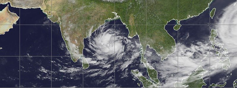
Featured image: MTSAT IR satellite image of Northern Indian Ocean region taken at 18:00 UTC on October 8, 2014. (Credit: NOAA/UW-CIMSS)
An area of low pressure near the Andaman and Nicobar Islands in Northern Indian Ocean developed in Tropical Storm "Hudhud" on October 8, 2014. This is the third tropical system and first tropical storm this year in Bay of Bengal.
Favorable environment in Bay of Bengal will allow the system to strengthen into the strongest cyclone of the year in the northern Indian Ocean. It is expected to intensify into at least a Category 3 cyclone before hits the central east coast of India. JTWC expects Hudhud to make landfall near north Andhra Pradesh and south Odisha coasts between Visakhapatnam and Gopalpur on October 10, 2014.
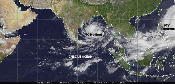
MTSAT IR satellite image of Northern Indian Ocean region at 18:00 UTC on October 8, 2104. (Credit: NOAA/UW-CIMSS)
According to JTWC public advisory issued at 21:00 UTC on October 8, Hudhud had maximum sustained winds near 92 km/h (58 mph) with gusts up to 120 km/h (75 mph) as it was moving west-northwestward at speed of 20 km/h (13 mph). The system was centered about 549 nm south of Chittagong, India.
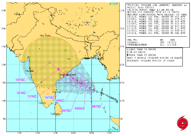
Tropical Cyclone Hudhud forecast track (Credit: JTWC)
The cyclone is expected to remain on the west-northwestward trajectory. The North Indian Ocean typically has two tropical cyclone seasons: one in May before the arrival of the monsoon, and one in October – November as the monsoon retreats.
.jpg)
Satellite animations
- Storm-Centered Infrared (Meteosat 7; CIMSS)
- Storm-Centered Enhanced Infrared (Meteosat 7; CIMSS)
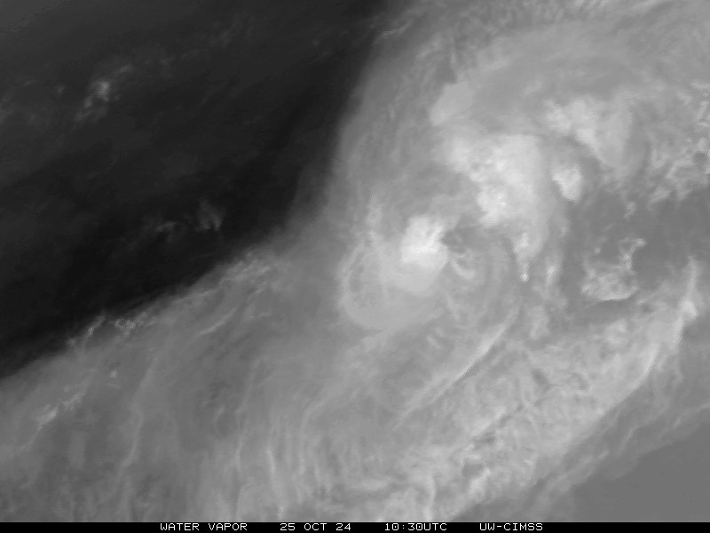
- Storm-Centered Water Vapor (Meteosat 7; CIMSS)
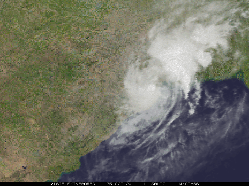
- Storm-Centered Visible (Meteosat 7; CIMSS)
- Storm-Centered Infrared (MTSAT2; NOAA/SSD)
- Storm-Centered Infrared (Aviation Color Enhancement) (MTSAT2; NOAA/SSD)
- Storm-Centered Water Vapor (MTSAT2; NOAA/SSD)
- Storm-Centered Visible (MTSAT2; NOAA/SSD)
- Storm-Centered Visible (Colorized) (MTSAT2; NOAA/SSD)
- Meteosat 7 Infrared
- Meteosat 7 Infrared (Color Background)
- Meteosat 7 Infrared (NHC Color Enhancement)
- Meteosat 7 Water Vapor
- Meteosat 7 Water Vapor (Color Background)
This is severe attack…
May god bless all the peoples …
Its tooo danger “hudhud” 2 peoples are died in srikakulam. The pressure of air is 180 Kph.
Stay safe.anything can be happened within a few moments…..
Very High time, remaining only 5 hr
very denger
Its too Danger since the consequence will be UN imaginable,,,
Very huge disaster may come in the near minutes