
Earth-watcher Proba-V ready to provide global vegetation data
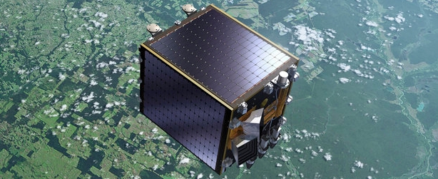
Image credit: ESA
Launched by a Vega rocket from French Guiana in the early hours of May 7, 2013, the Proba-V miniaturised satellite is designed to map land cover and vegetation growth across the entire planet every two days at a resolution of 330 m.
Today, less than seven months after the launch, ESA announced its Earth-watcher Proba-V is ready to provide global vegetation data for operational and scientific use.
The Proba-V satellite is less than a cubic meter in volume but its imager's continent-spanning 2250 km field of view collects light in the blue, red, near-infrared and mid-infrared wavebands, ideal for monitoring plant and forest growth as well as inland water bodies. The Vegetation instrument can distinguish between different land cover types and plant species, including crops, to reveal their health, as well as detect water bodies and vegetation burn scars.
.jpg)
First uncalibrated global mosaic of vegetation from Proba-V, June 2013. Image credit: ESA
Vital uses of these data include day-by-day tracking of vegetation development, alerting authorities to crop failures, monitoring inland water resources and tracing the steady spread of deserts and deforestation.
Immediately following its launch, Proba-V entered the Launch and Early Operations Phase to establish contact, confirm its pointing direction and check the various subsystems to ensure their functionality following the stress of launch.
All satellite systems were then activated and evaluated during the six-month commissioning phase. This included a careful cross-calibration of the Vegetation imager with the previous generation of the instrument, operating on France’s Spot-5 satellite, to ensure data compatibility. Radiometric and geometric calibration was also executed.
The crucial commissioning phase is now complete and the satellite has been declared ready for operations.
“We are anticipating that with the data from Proba-V the user community ranging from operational Copernicus services to scientific users will be able to answer questions related to the state of global vegetation and its dynamic changes in a seasonal context,” said Bianca Hoersch, Proba-V Mission Manager.
“It will furthermore extend the valuable time series that was started by the Spot-4/5 Vegetation instruments 15 years ago.”
Access to near-realtime data at a 1 km resolution is free and open with user registration, with high-resolution data accessible for free to the research and development community.
Source: ESA
I'm a dedicated researcher, journalist, and editor at The Watchers. With over 20 years of experience in the media industry, I specialize in hard science news, focusing on extreme weather, seismic and volcanic activity, space weather, and astronomy, including near-Earth objects and planetary defense strategies. You can reach me at teo /at/ watchers.news.
Commenting rules and guidelines
We value the thoughts and opinions of our readers and welcome healthy discussions on our website. In order to maintain a respectful and positive community, we ask that all commenters follow these rules.