6.4 magnitude earthquake strikes northern coast of Papua, Indonesia

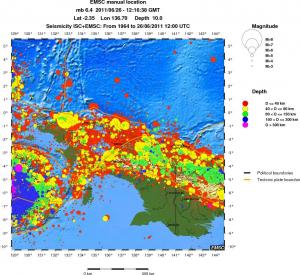
A strong 6.4-magnitude earthquake struck near the coast of Indonesia’s Papua province on Sunday, June 23, 2011.
The quake struck at a depth of 36 kilometers, 161 kilometers from Enarotali, at 9:16 p.m., the US Geological Survey said.
 There was no warning or advisory posted on the Pacific Tsunami Warning Centre Web site. Indonesia sits on the Pacific “Ring of Fire”, where the meeting of continental plates causes high seismic activity, and is frequently hit by earthquakes.

Two powerful aftershocks followed the 6.4 magnitude earthquake at the depth of 36 km- a 5.0 and a 5.4, both moving closer to the surface at 30 km and 29 km respectively. The 3rd major aftershock in the series was another 5.4 and this one had a depth of only 14 km.


http://youtu.be/CQPANZzXjqs Please watch this video Scot has some great information to share about what signs to expect BEFORE an earthquake happens.