New Jersey reports 29 suspected heat-related deaths after prolonged early July heat wave
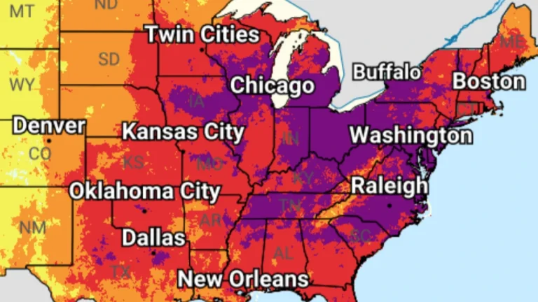
Health officials in New Jersey have increased the number of suspected heat-related deaths associated with last week’s extreme heat wave to 29, on Monday, July 6, 2026. A prolonged heat wave brought temperatures above 38°C (100°F) and dangerous heat index values approaching 43°C (110°F) across parts of the state over the Independence Day weekend. Most fatalities are yet to be certified as heat-related deaths by the forensics department, hence the toll remains preliminary.