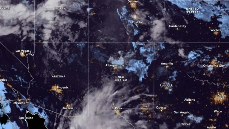
• Flood watches cover much of New Mexico as multi-day heavy rainfall event begins

    Flood Watches cover much of New Mexico on September 22, 2026, as a multi-day surge of tropical and monsoon moisture is forecast to produce repeated rounds of heavy rain and thunderstorms through at least September 24. The Weather Prediction Center (WPC) placed portions of southern New Mexico under a Moderate Risk of excessive rainfall, level 3 of 4, for the first 24-hour period, with the Moderate Risk shifting into parts of eastern New Mexico during the following period. Flash flooding, river flooding and debris flows near recent burn scars are possible.
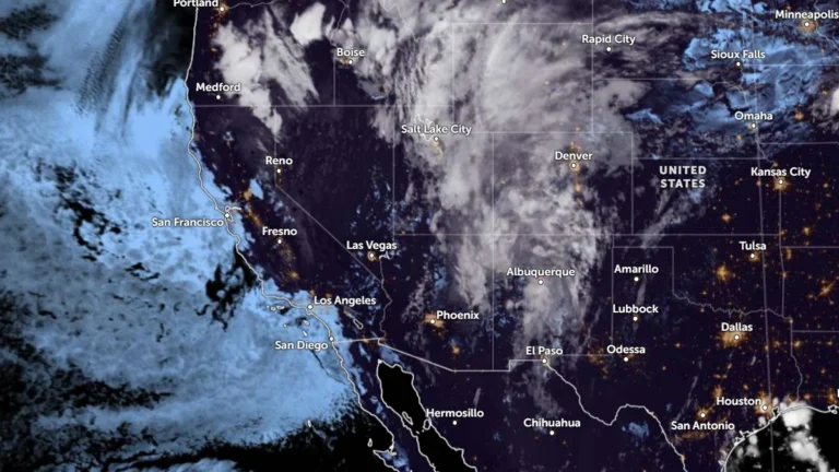
  • Flood Watches cover New Mexico, Utah and Colorado, heavy-rain threat shifts to South Dakota

    Another round of heavy showers and thunderstorms was forecast across parts of New Mexico, Utah and Colorado on September 17, 2026, prompting Flood Watches for areas vulnerable to rapid runoff and flash flooding. A moisture-rich disturbance was then expected to move northeast into South Dakota, where the National Weather Service’s Weather Prediction Center (WPC) forecast 51–102 mm (2–4 inches) of rain with locally higher totals.

  • Flood Watch issued for Mason County, Washington

    A Flood Watch is in effect for Mason County, Washington, from Thursday afternoon through Saturday morning, November 6-8, 2025. Due to persistent rain, the Skokomish River is expected to rise above flood stage.