
Central Himalayan seismic gap shows centuries of stored strain capable of two M8.8 events
New geodetic measurements along an 800 km (500 miles) section of the Himalayas indicate that seven centuries of accumulated strain may be enough to produce two M8.8 earthquakes, according to a study published recently in Geophysical Research Letters.
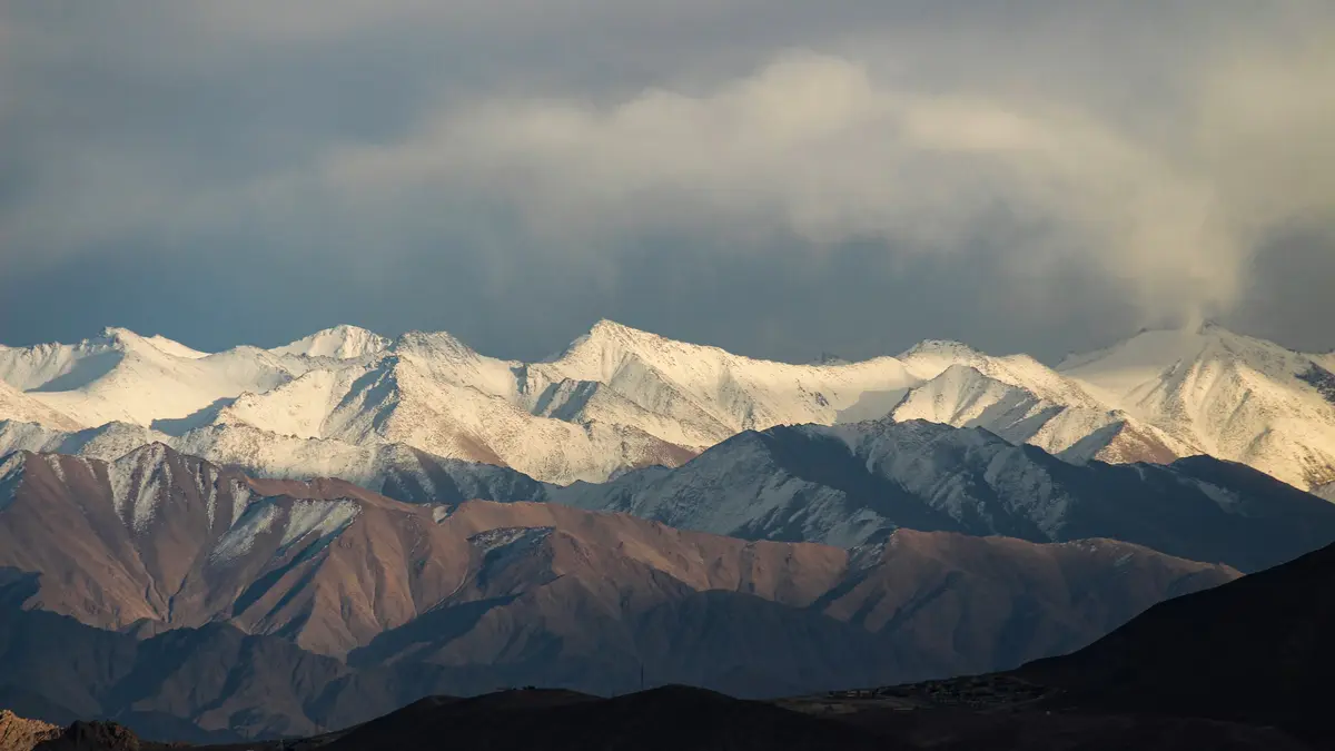
The Himalayas. Credit: Prashant Bhati
The Himalayan arc stores strain as the Indian plate moves toward Eurasia at nearly 40 mm (1.6 inches) per year. About half of this motion is taken up along the Main Himalayan Thrust, where the crust flexes upward between major earthquakes. The new study provides some of the strongest evidence that the upper portion of this fault remains firmly locked.
Vertical deformation has always been difficult to measure across the steep topography. Earlier studies relied mainly on horizontal GNSS velocities,s which limited the ability to determine the depth of locking. The integration of vertical data from InSAR changes this by revealing how the crust bends above the fault.
Using ALOS-2 InSAR and ground-based GNSS observations, the researchers produced a three-dimensional velocity field showing steady uplift across the higher Himalayas. The 5–8 mm (0.20–0.31 inches) year signal indicates strong elastic loading that reflects long-term strain accumulation on the megathrust.
The location of peak uplift aligns with the steepest gradient of horizontal shortening. This agreement between independent measurements strengthens the interpretation that the thrust fault is locked across a wide region.
These results mark one of the clearest geodetic demonstrations of how Himalayan strain builds prior to major rupture, offering a rare view into the mechanics of a continental megathrust.
How wide the locked zone is and why the width matters
The elastic plate model used in the analysis shows that the Main Himalayan Thrust is locked across a width of about 115 km (71 miles) from the Main Frontal Thrust. This value is significantly wider than earlier estimates of 90–100 km (56–62 miles). A wider locked zone means more strain can accumulate before rupture.
North of the locked segment, the fault transitions into a creeping zone that extends another 40 km (25 miles). This transition marks the depth at which friction decreases, and the fault begins to slide steadily rather than accumulate strain. Many large Himalayan earthquakes begin near this depth range.
The inferred convergence rate of 20–22 mm (0.8–0.9 inches) per year is higher than the 15.6–20.2 mm (0.61–0.79 inches) per year from GNSS-only models. This difference is important because seismic moment accumulation scales directly with slip rate.
The model values were refined using hydrological corrections from GRACE to remove non-tectonic uplift signals. Such corrections are essential given the strong seasonal and long-term water storage variations in northern India.
Together, the locked width, transition zone, and updated slip rate quantify the tectonic strain budget more accurately than previous geodetic models, providing a foundation for assessing earthquake potential.
What 700 years of strain accumulation means for earthquake potential
Historical and paleoseismic evidence shows that the last great earthquakes in the central Himalayan seismic gap occurred in 1344 CE and 1505 CE. Both events ruptured large sections of the thrust fault and would have released substantial stored strain. No comparable earthquakes have occurred in the centuries since.
Based on the inferred strain rate and locked width, the researchers estimate that the accumulated moment corresponds to at least two Mw 8.8 earthquakes. This calculation uses potency rate, locked zone geometry, and elapsed time since the last major ruptures.
A single Mw 8.8 event would not release the entire accumulated strain. If the entire locked width ruptured in a single sequence, a magnitude exceeding Mw 9 is physically possible. However, this scenario carries greater uncertainty and depends on rupture continuity across segments.
The Indo Gangetic Plain contains major population centers, including Delhi, Lucknow, and Kathmandu, that sit on soft sediments that amplify shaking. Large Himalayan earthquakes can also generate long-duration shaking at great distances, making the hazard even more significant.
These findings align with paleoseismic studies that document long recurrence intervals and high slip per event. The conclusion that multiple great earthquakes are physically plausible strengthens the case for elevated hazard across northern India and Nepal.
How satellites uncovered the vertical motion that GNSS could not
Interferometric Synthetic Aperture Radar allows the detection of ground deformation of a few millimeters by comparing radar phase between repeated satellite passes. The study used 87 ALOS-2 images spanning 2015 to 2021 across several tracks, producing high-resolution deformation maps.
Each interferogram required corrections for ionospheric effects, atmospheric delays, and topographic influences to ensure accuracy. After these corrections, the researchers retrieved robust line-of-sight velocities that were then converted to vertical rates.
By combining these vertical velocities with GNSS horizontal velocities, a complete three-dimensional deformation field was produced. Vertical measurements were essential to constrain the locked width because horizontal motion alone cannot reveal how the crust bends above a locked fault.
The peak uplift was found slightly north of the physiographic transition that separates the lesser and higher Himalayas. This is consistent with models predicting the strongest elastic bending over a locked megathrust.
The alignment of InSAR, GNSS, and geological uplift indicators provides a coherent picture of interseismic deformation and significantly reduces model uncertainty.
Why the findings matter for preparedness and future monitoring
India’s revised 2025 seismic hazard map introduced Zone VI, the highest level of earthquake hazard classification, covering much of the Himalayan region. The new geodetic evidence strongly supports this designation by demonstrating widespread and active strain accumulation.
Urban centers on deep sediments are particularly vulnerable because of shaking amplification. Even if the rupture begins far from these cities, the long duration of shaking from an Mw 8.8 earthquake could cause severe damage.
The integration of geodesy, seismology, and paleoseismology provides the most realistic view of hazard. Each method constrains different parts of the earthquake cycle, and the combination offers the clearest understanding of future risk.
Upcoming missions such as NASA ISRO NISAR will offer rapid and repeated global surface deformation measurements. These data will allow scientists to monitor evolving strain fields across the Himalayas with unprecedented temporal resolution.
The study shows the urgent need to strengthen building codes, expand monitoring networks and update emergency planning. Given the physical potential for multiple Mw8.8 earthquakes, preparedness must be based on realistic maximum event scenarios rather than past averages.
References:
1 Geodetic Insights to the Himalayan Megathrust Kinematics Unravel Increased Earthquake Hazard – K. M. Sreejith et al. – Geophysical Research Letters – October 22, 2025 – https://doi.org/10.1029/2025GL118555 –

I’m a science journalist and researcher at The Watchers, contributing to the Epicenter edition, where I cover peer-reviewed scientific research and emerging discoveries across Earth and space sciences. With a background in astronomy and a passion for environmental science, I’ve worked in shark and coral conservation in Fiji, conducting reef and shark-behavior research, contributing to mangrove restoration, and earning PADI Open Water and Coral Reef Certifications. I bring a blend of scientific rigor and storytelling to illuminate the discoveries shaping our planet and beyond.
Commenting rules and guidelines
We value the thoughts and opinions of our readers and welcome healthy discussions on our website. In order to maintain a respectful and positive community, we ask that all commenters follow these rules.