• Powerful Kona low prompts emergency proclamations as Hawaii faces multi-day flood and severe storm threat

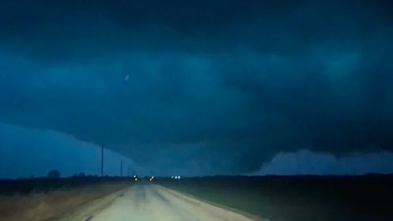
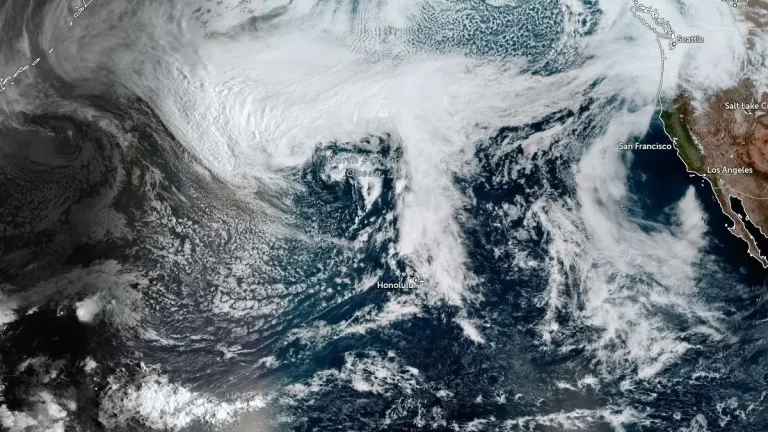
    A powerful Kona low is bringing a multi-day flood and severe weather threat to Hawaii on Wednesday, March 11, 2026, with the most dangerous conditions forecast for Friday into Saturday. The National Weather Service says the storm could produce flash flooding, damaging winds, and strong to severe thunderstorms across the island chain, while Governor Josh Green has issued two emergency proclamations tied to the event.

  • A 15.2 cm (6 inches) hailstone in Kankakee could set a new Illinois record

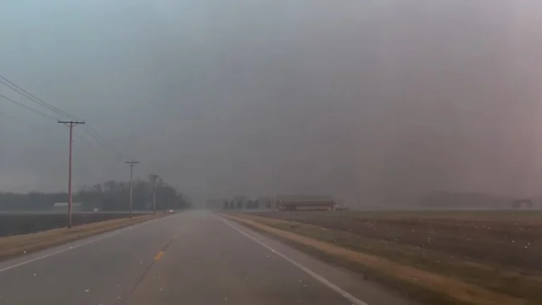
    A 15.2 cm (6 inches) wide hailstone was measured in Kankakee, Illinois, on March 10, 2026, after an intense supercell produced a corridor of giant hail across parts of northern Illinois, according to the National Weather Service (NWS) in Chicago. The agency said the stone may be considered for a new Illinois state record, but its status remains unofficial pending verification.

  • Destructive tornado damages homes in Kankakee County, Illinois, leaving thousands without power

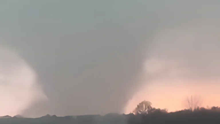
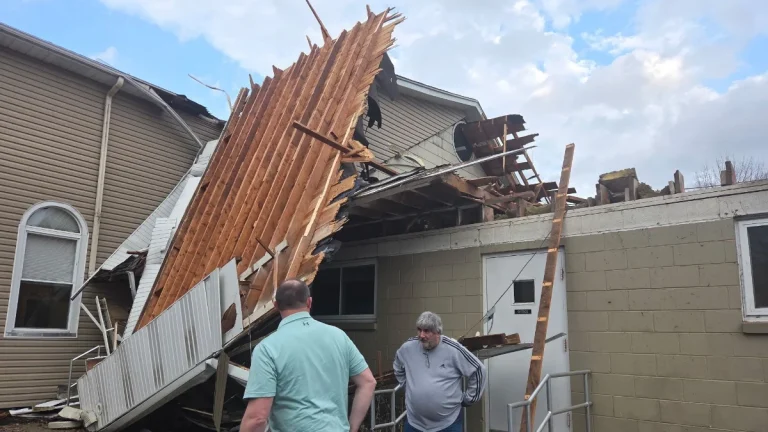
    A destructive tornado struck Kankakee County, Illinois, during severe storms on March 10, 2026, causing significant structural damage and leaving more than 7 000 customers without power. The tornado tracked through the southwest portion of Kankakee and crossed into northwestern Indiana near Lake Village, damaging homes and infrastructure.

  • Atmospheric rivers forecast to bring heavy rain and snow to the Pacific Northwest through mid-March

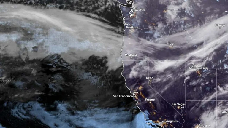
    Two atmospheric rivers are forecast to hit the Pacific Northwest beginning late March 10, 2026, bringing heavy rainfall to coastal areas and significant snowfall to higher elevations in Washington and Oregon. Precipitation totals of 180–380 mm (7–15 inches) are forecast in mountainous regions, with the potential for river rises and localized flooding through the week.

  • Union City tornado becomes the earliest EF-3 on record for Michigan

    The deadly tornado that struck Union City, Michigan, on March 6, 2026, was rated EF-3 after damage surveys by the National Weather Service (NWS). It is the earliest EF-3 recorded in Michigan and the strongest to strike the state in 49 years, with estimated peak winds exceeding 247 km/h (160 mph). Meanwhile, the tornado in Edwardsburg was rated EF-1, and an EF-2 rating was given to the Three Rivers tornadoes.

  • Enhanced Risk of severe thunderstorms for parts of Missouri, Iowa, Illinois and Indiana on March 10

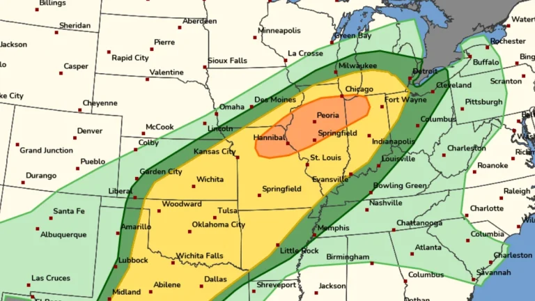
    An Enhanced Risk of severe thunderstorms is in effect for parts of the Midwest on March 10, 2026, including northeast Missouri, southeast Iowa, northern and central Illinois, and northwest Indiana. The forecast environment supports the development of supercells and organized thunderstorm clusters capable of producing tornadoes, damaging wind gusts, and large hail during the afternoon and evening hours.

  • 8 dead in Michigan and Oklahoma as over 25 tornadoes hit central United States

    At least eight fatalities have been confirmed in parts of Michigan and Oklahoma as a severe weather outbreak spawned dozens of tornadoes across five states between March 5 and 6, 2026. Four fatalities were reported in Michigan and four were reported in Oklahoma, while injuries and widespread destruction were reported across the affected regions.

  • Deadly Fairview tornado rated as EF-2, Oklahoma

    The tornado that struck Fairview, Oklahoma on March 5, 2026, was rated as an EF-2 after damage surveys were conducted by National Weather Service (NWS) in Norman. At least one other EF-2 and two EF-1 tornadoes were also identified in the region.