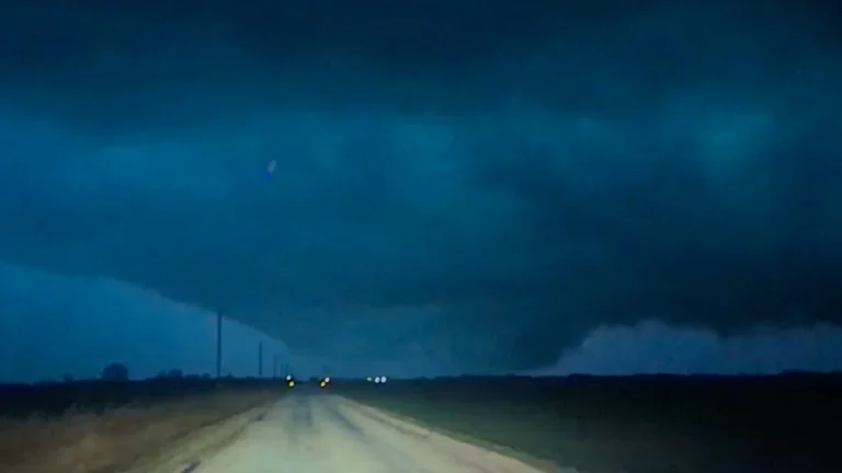
• Two dead after tornado strikes near Fairview, Oklahoma

    A mother and daughter were killed near Fairview, Oklahoma, after a tornado struck their vehicle near state highways 60 and 243 late on March 5, 2026, according to the Major County Sheriff’s Office. The fatalities were confirmed on March 6.
  • Multiple tornadoes reported across Kansas, Oklahoma, and Texas as severe storms impact southern Plains

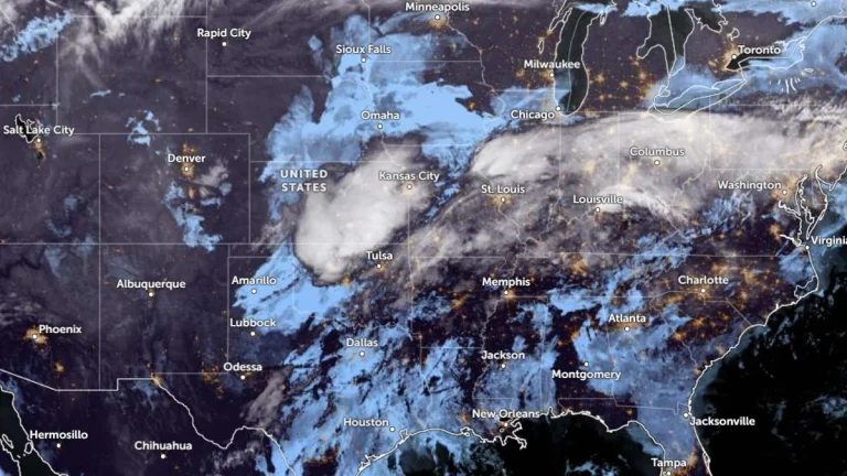
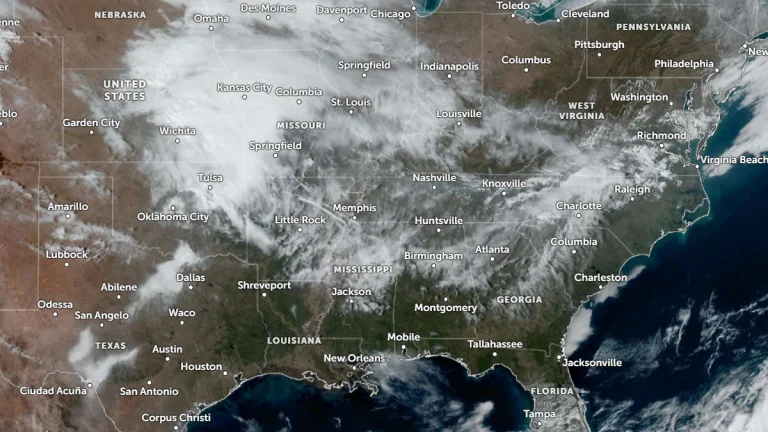
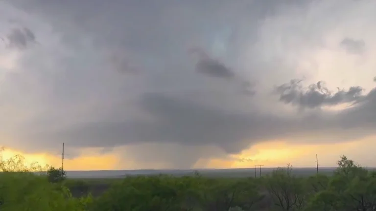
    Multiple tornadoes were reported across parts of Kansas, Oklahoma, and Texas on March 5, 2026, as severe thunderstorms moved across the southern Plains. The Storm Prediction Center (SPC) received at least seven tornado reports during the event, with storms causing localized damage and leaving more than 11 000 customers without power as of March 6, according to PowerOutage.US.

  • SPC issues Enhanced Risk for severe storms with large hail and tornado potential across Texas-Oklahoma-Kansas

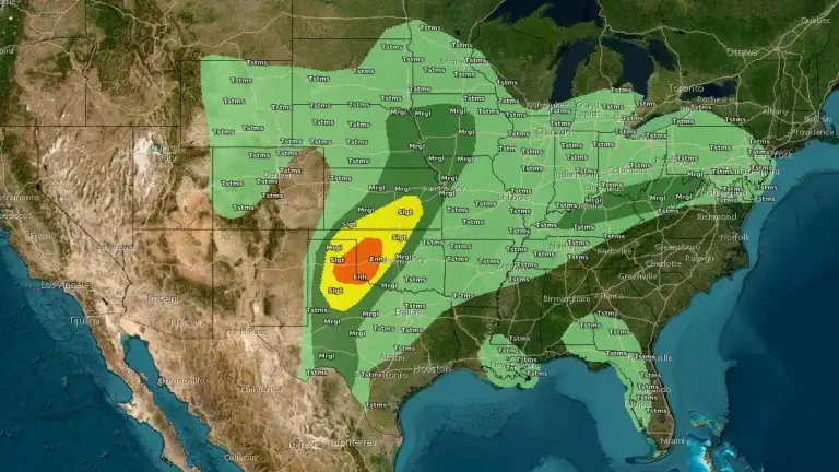
    Severe thunderstorms capable of producing very large hail, damaging winds, and a few tornadoes are forecast to develop across the Texas Panhandle, western Oklahoma, and southern Kansas late on March 5, 2026. The National Weather Service (NWS) Storm Prediction Center (SPC) has issued an Enhanced Risk for the region as atmospheric conditions become favorable for supercell development along a dryline during the late afternoon and evening.

  • Record rainfall hits Dallas–Fort Worth as storms flood highways across North Texas

    Record rainfall struck Dallas–Fort Worth, Texas, on March 4, 2026, when Dallas–Fort Worth International Airport recorded 39.4 mm (1.55 inches) of rain, breaking the previous daily record of 32.3 mm (1.27 inches) set in 1937. The storms flooded highways across North Texas, caused the collapse of a commercial building roof on Kingsley Road, and triggered a lightning-caused house fire in Fort Worth.

  • Flood warnings and advisories issued across Indiana, Ohio, and West Virginia after heavy rainfall

    The National Weather Service (NWS) issued numerous flood warnings on Wednesday, March 4, 2026, following 50–100 mm (2–4 inches) of rainfall across Indiana, Ohio, and West Virginia. Several rivers, including the East Fork White River, White River, and Big Blue River, are above flood stage, with additional rainfall forecast through the end of the week.

  • Two subtropical systems active simultaneously in South Atlantic, first such overlap documented in modern monitoring era

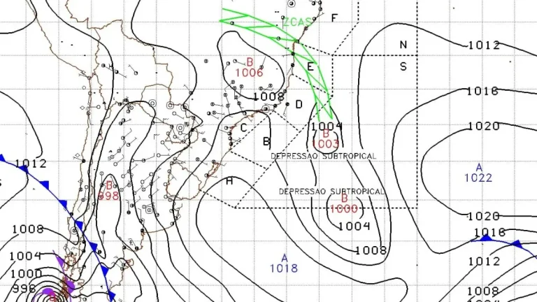
    Subtropical Storm Caiobá formed off southern Brazil on March 2, 2026, after two subtropical depressions developed simultaneously in the South Atlantic. According to Metsul Meteorologia and available South Atlantic cyclone records, no previous instance of simultaneous subtropical depressions has been documented since formal monitoring and classification began. Caiobá moved away from the coast of Brazil without any major impacts.

  • Heavy snowfall across northern China triggers emergency responses

    Northern China experienced widespread snowfall on March 1, 2026, with snow cover exceeding 250 000 km² (96 525 mi²) and a maximum snow depth of 23 cm (9 inches). The event prompted emergency responses across several provinces, including Hebei, Shanxi, and Gansu, according to official reports.

  • Winter weather impacts Appalachians and Mid-Atlantic while severe storm risk expands across parts of Oklahoma and Kansas

    A lifting frontal boundary draped from the southern Plains to the Mid-Atlantic is producing a swath of mixed winter precipitation across the Ohio and Tennessee Valleys on March 2, 2026, while setting the stage for isolated severe thunderstorms in Oklahoma and Kansas on March 3. Winter weather advisories are in effect from Indiana to Pennsylvania, with ice accretion possible across the higher terrain of the Appalachians, according to the Weather Prediction Center.

  • Persistent slab avalanche danger expected across the Cascades this weekend

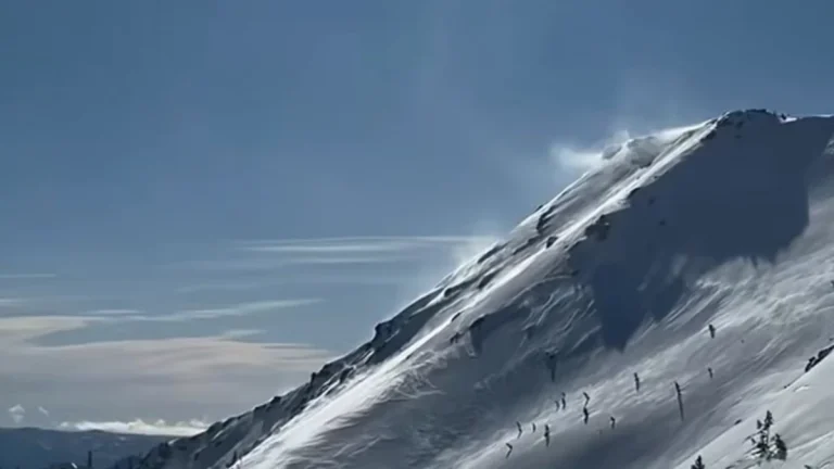
    Persistent slab avalanche hazards will be the main concern across the Cascade Range this weekend, according to the Northwest Avalanche Center. Forecasters say buried weak layers and recent wind loading have brought several zones close to a “tipping point,” warning that human-triggered avalanches remain possible even under clear skies.