• Record winds hit Northern Ireland, as Storm Floris lashes United Kingdom

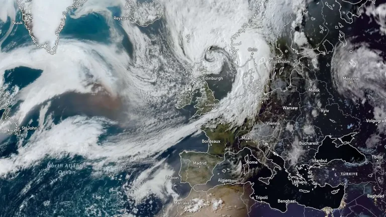
    Storm Floris struck the United Kingdom on August 4, 2025, undergoing explosive cyclogenesis and producing widespread wind damage, power outages, and travel disruption. The system reached bomb cyclone status after its central pressure dropped 24 hPa in 24 hours, with peak gusts of 129 km/h (80 mph) recorded around Moray Firth and 106 km/h (66 mph) at Orlock Head — tying Northern Ireland’s August wind record set in 1989.

  • Severe thunderstorms drop month’s worth of rain in 1 hour over Aisne, causing floods and hail damage across France

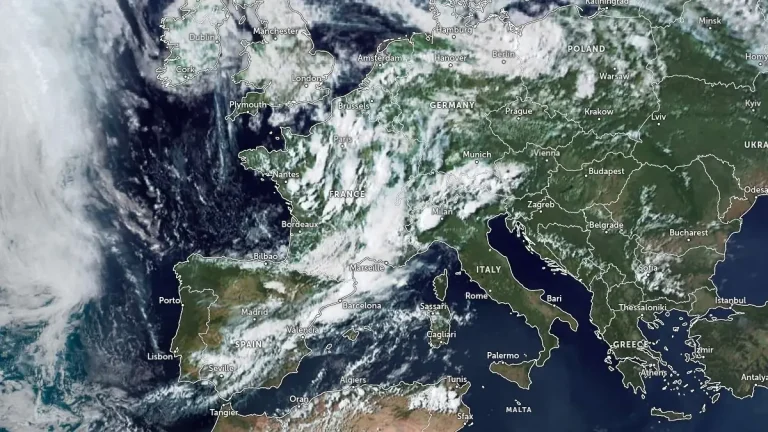
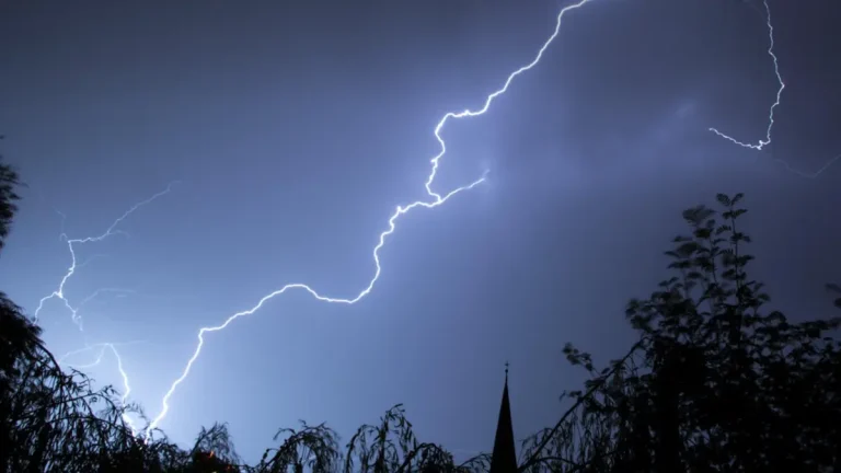
    Severe storms dropped 70–80 mm (2.8–3.1 inches) of rain in just 1 hour over Bohain-en-Vermandois, Aisne, France on July 23, 2025, causing severe local flooding and damage. Widespread thunderstorms with heavy rainfall and hail continued into July 24, affecting parts of northern and central France, including Île-de-France, Loiret, Nièvre, and Yonne.

  • Flash flooding expected in Mid‑Atlantic and Florida due to record moisture and slow-moving storms

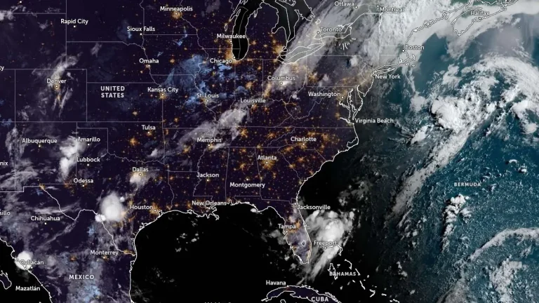
    Flash flood potential is elevated across several U.S. regions, with a Moderate Risk (level 3/4) in effect for the I-95 corridor in the Mid‑Atlantic from July 14 into July 15, 2025, due to a slow-moving frontal boundary and record-setting atmospheric moisture. Elevated flash flood risk also exists across the Florida Peninsula as deep tropical moisture and slow-moving storms impact the region.