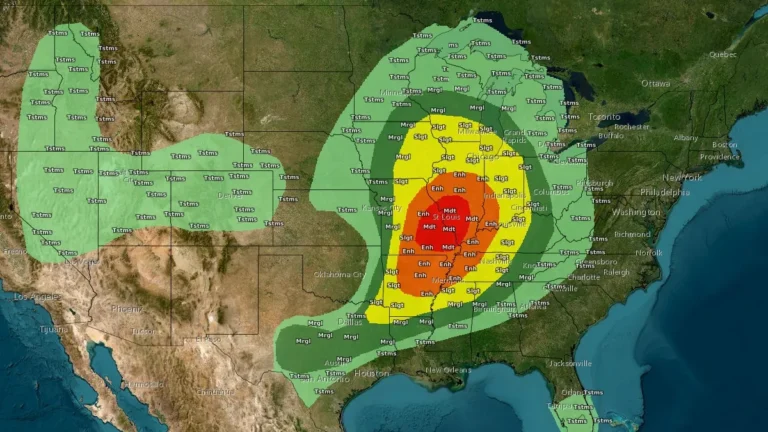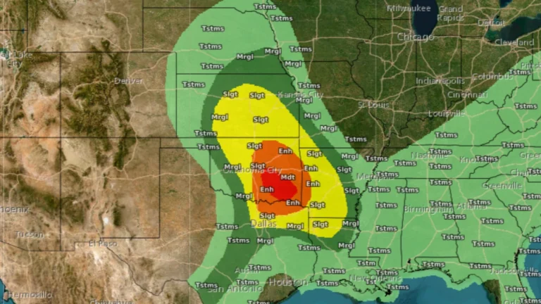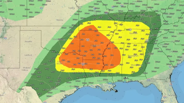
Enhanced Risk of severe thunderstorms issued for northern Texas into lower Mississippi Valley
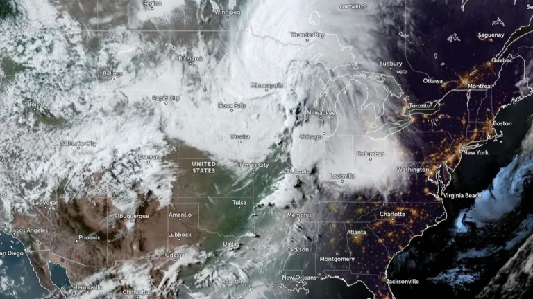
Severe thunderstorms and heavy rainfall are forecast across parts of northern Texas into the lower Mississippi and Tennessee Valleys on April 28, 2026, with an Enhanced Risk issued for parts of the region. Very large hail, damaging winds, and a few tornadoes are to be expected, while repeated storm activity may increase the risk of flash flooding.