I am an Assistant Editor and Severe Weather & Science Journalist at The Watchers, specializing in real-time severe weather coverage, geophysical event reporting, and research-driven scientific analysis. You can reach me at rishav(at)watchers(.)news.

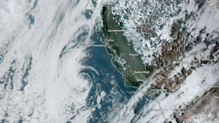
  • Pair of mid-level troughs forecast to bring widespread precipitation to California

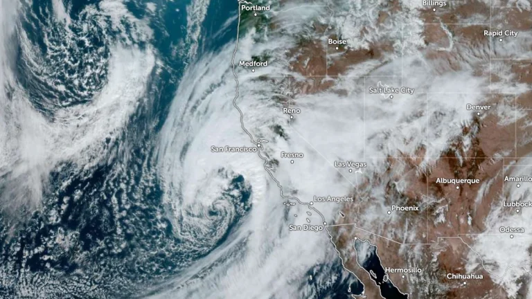
    Two mid-level troughs with associated surface lows are forecast to bring widespread precipitation to California between February 14 and 19, 2025. The first system is forecast to begin affecting the state on February 14–15, followed by a second trough deepening offshore from February 16–17. Snowfall totals over the Sierra Nevada could exceed 60 cm (24 inches), while rainfall totals of 25–50 mm (1–2 inches) are forecast across much of the state during the initial 72-hour period.

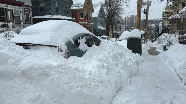
  • Storm Nils kills 1 in France, triggers rare Red Avalanche Alert in Savoie as 850 000 lose power

    At least one person was reported dead as Storm Nils brought damaging winds to France late on February 11, 2026, with gusts exceeding 180 km/h (112 mph) recorded in parts of the country. More than 900 000 customers were left without power as authorities issued red and orange alerts across multiple departments, while Savoie was placed under a rare red avalanche alert on February 12 after multiple avalanches were reported.

  • Cross-country storm to bring heavy rain to the South and snow to the West and Great Lakes

    An atmospheric river affecting California on February 11, 2026, is forecast to evolve into a cross-country storm moving across the southern U.S. through February 13–14, 2026. Widespread rainfall totals of 25 to 75 mm (1–3 inches), with locally higher amounts, are possible across Texas to Georgia. Heavy snow is ongoing in the Sierra Nevada, with additional accumulations expected in the Wasatch and central Rockies.

  • Wind chills to −57°C (−70°F) as Extreme Cold and Blizzard Warnings continue across Alaska

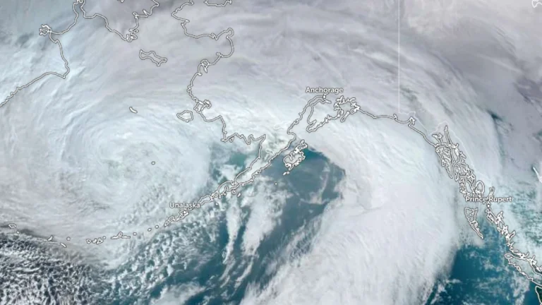
    Extreme Cold Warnings and Blizzard Warnings remain in effect across northern and western Alaska on February 11, 2026, with the National Weather Service forecasting wind chills as low as −57°C (−70°F) along the Arctic Coast and Brooks Range and wind gusts up to 105 km/h (65 mph) on St. Lawrence Island. Air temperatures near −46°C (−50°F) combined with increasing winds are expected to intensify frostbite risk across the North Slope, while snowfall of 7–15 cm (3–6 inches) and visibility reductions to 400 m (0.25 miles) or less are forecast in parts of western Alaska through early February 12.

  • Major storm hits Hawaii with damaging winds and extreme rainfall, causing widespread power outages

    A powerful storm system impacted Hawaii between February 8 and 10, 2026, producing heavy rainfall, flash flooding, landslides, and damaging winds. Wind gusts frequently exceeded 95 km/h (60 mph), with localized gusts approaching 115 km/h (70 mph), leading to road closures, including along Maui’s Hāna Highway, downed trees, and intermittent power outages affecting tens of thousands of customers on Oʻahu, Maui, and Hawaiʻi Island.