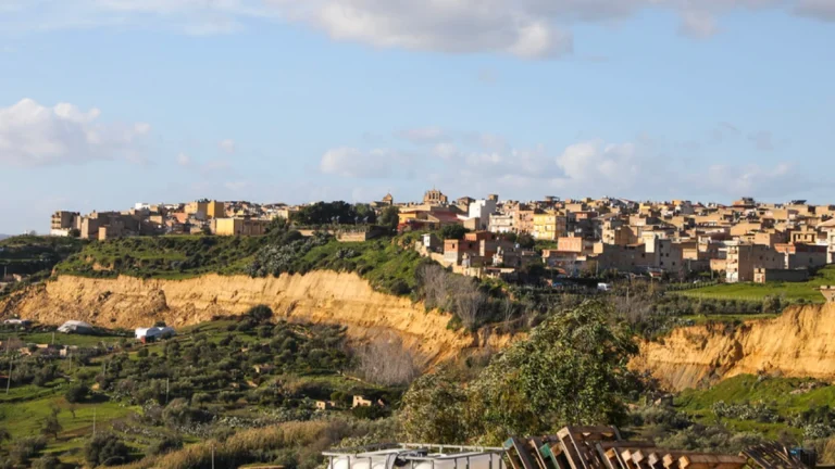
Homes on verge of collapse as 4 km (2.5 miles) landslide destabilizes hillside above Gela plain, Italy
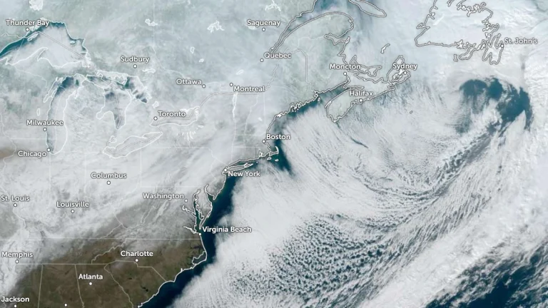
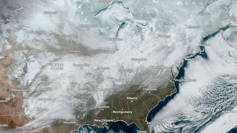
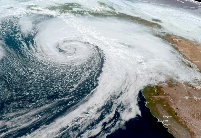
Over 1 500 people have been evacuated from the town of Niscemi after the impact of Storm Harry triggered a major coastal landslide on January 25, 2026 that has left hundreds of homes on the verge of collapse.