
Severe flash floods hit McAllen as thunderstorms sweep through South Texas
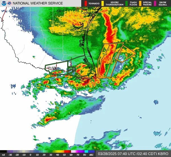
Severe flash floods hit the city of McAllen (population 146 000) as a line of thunderstorms swept across South Texas on Thursday, March 27, 2025, bringing up to 400 mm (16 inches) to parts of the region. Floodwaters entered a medical center in McAllen and submerged key routes across southern Texas, leading to hazardous travel conditions and extensive damage.
McAllen and neighboring areas in Hidalgo County are among the worst affected, recording 208 mm (8.18 inches) of rainfall and standing waters of up to 30 cm (1 foot).
Videos on social media showed severe flooding that had submerged cars and homes, prompting the activation of boat rescues by emergency services in the region.
Floodwaters entered the local medical center on Thursday afternoon, leading to the closure of parts of the facility. Some areas were later reopened to admit stroke and trauma patients, although regular visits were scheduled to resume on Friday due to ongoing clean-up efforts.
Widespread damage has been reported due to the flooding, but the extent of the damage is yet to be assessed.
Texas Highway 100 was submerged by floodwaters, creating hazardous travel conditions. Local authorities advised drivers on social media to exercise caution while traveling near the High School/Beacon Bay and in front of the Stripes by H-E-B, noting that floodwaters were affecting traffic and causing delays.
Roads were also flooded in other parts of the state, including Laguna Vista and South Padre Island.
Although the threat has subsided for most of the affected regions, a Flash Flood Warning remained in effect for Cameron and Central Willacy counties for the early hours of Friday.
Renewed rounds of showers and thunderstorms are expected Friday ahead of an upper-level wave along the western Gulf Coast northeastward into the Lower Mississippi Valley, NWS forecaster Putnam noted.
While storm coverage and intensity are expected to be lower compared to Thursday, a Slight Risk of Excessive Rainfall (level 2/4) is in effect as plentiful Gulf moisture will still lead to locally heavy rainfall and some scattered instances of flash flooding. Additional storms will spread eastward along the central Gulf Coast on Saturday, but the risk for flash flooding should remain more isolated.
References:
1Flash Flood Statement – NWS – March 28, 2025
2 The McAllen climate summary for March 27, 2025- NWS – March 28, 2025
Featured image credit: TxDOT Pharr District

I am an Assistant Editor and Severe Weather & Science Journalist at The Watchers, specializing in real-time severe weather coverage, geophysical event reporting, and research-driven scientific analysis. You can reach me at rishav(at)watchers(.)news.
Yes, not natural rainfall. Cloud seeding.. must be.