
Shallow M6.0 earthquake hits Tonga region
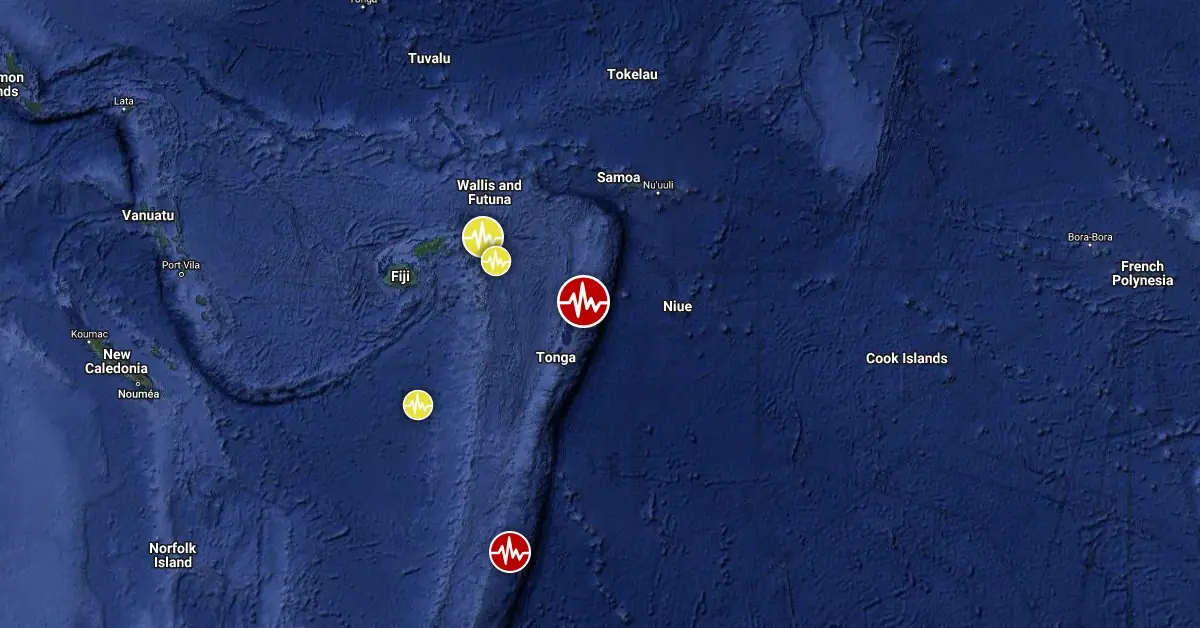
Image credit: TW/SAM, Google
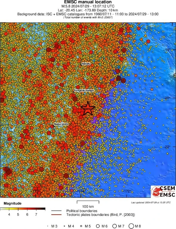
A strong and shallow earthquake registered by the USGS as M6.0 hit the Tonga region at 13:07 UTC on July 29, 2024. The agency is reporting a depth of 10 km (6.2 miles). EMSC is reporting M5.8 at a depth of 10 km.
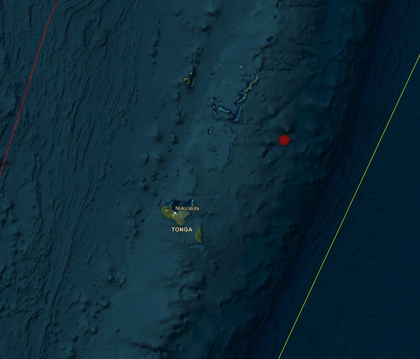
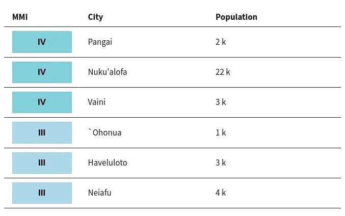
The epicenter was located 74.1 km (46.1 miles) SSE of Pangai (population 1 738), and 154.3 km (95.9 miles) ENE of Nuku’alofa (population 22 400), Tonga.
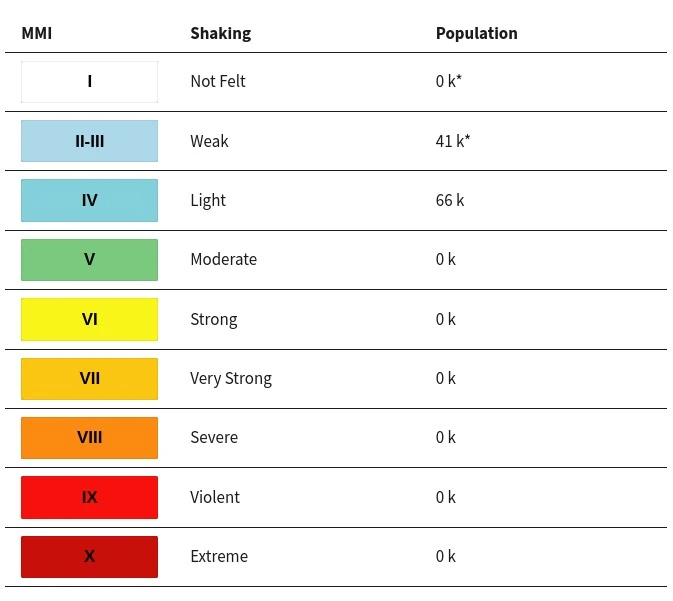
66 000 people are estimated to have felt light shaking and 41 000 weak.
The USGS issued a Green alert for shaking-related fatalities and economic losses. There is a low likelihood of casualties and damage.
Overall, the population in this region resides in structures that are highly vulnerable to earthquake shaking, though some resistant structures exist. The predominant vulnerable building types are unknown/miscellaneous types and wood construction.
Estimated population exposure to earthquake shaking

Selected cities exposed
Regional seismicity

Teo Blašković founded The Watchers in 2011 and edited it until 2026, covering seismic and volcanic activity, extreme weather, space weather and near-Earth objects. Articles on this page are his archive.
Published in the last 24 hours
- A fog linked to about 12 000 excess deaths in London in 1952 puzzled scientists for decades, until researchers reconstructed how coal smoke formed acidic haze Epicenter
- In 2012, cameras filming a thunderstorm in western China caught ball lightning by accident, and its 1.64-second glow carried iron, silicon, and calcium from the soil it rose out of Epicenter
- Strong El Niño reinforces above-normal winter precipitation outlook across southern and eastern U.S.
