
Typhoon “Hinnamnor” reaches super typhoon strength, becomes the strongest tropical cyclone of the year
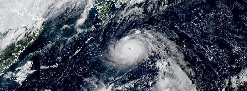
Featured image: Tropical Cyclone "Hinnamnor" at 07:10 UTC on August 30, 2022. Credit: JMA/Himawari-8, RAMMB/CIRA, The Watchers
Typhoon “Hinnamnor” formed on August 28, 2022, and reached super typhoon strength by 12:00 UTC on August 30, making it the strongest tropical cyclone of the year. The system is currently located well east of Okinawa, Japan, and is heading west at 28 km/h (17 mph).
At 12:00 UTC on August 30, the center of Super Typhoon “Hinnamnor” was located about 575 km (360 miles) east of Kadena Air Base, Okinawa, Japan.
It had maximum 10-minute sustained winds of 195 km/h (120 mph), with gusts up to 280 km/h (175 mph).
According to the JTWC, Hinnamnor’s maximum 1-minute sustained winds were at 240 km/h (150 mph) – making it a Super Typhoon.
The minimum central barometric pressure was 920 hPa, and the system was moving west at 28 km/h (17 mph).
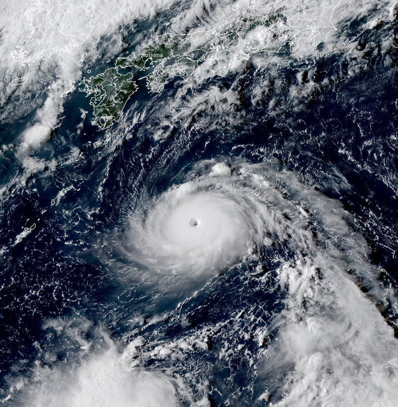
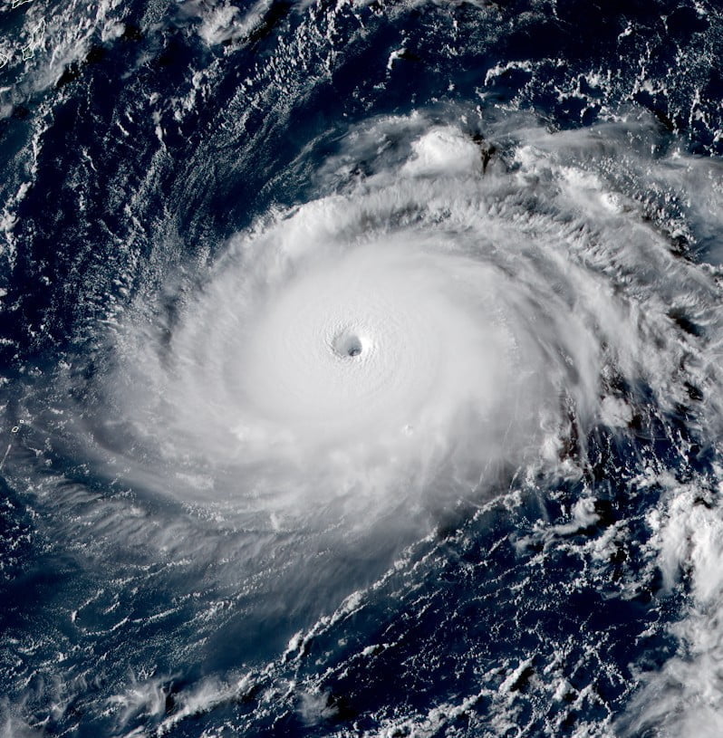
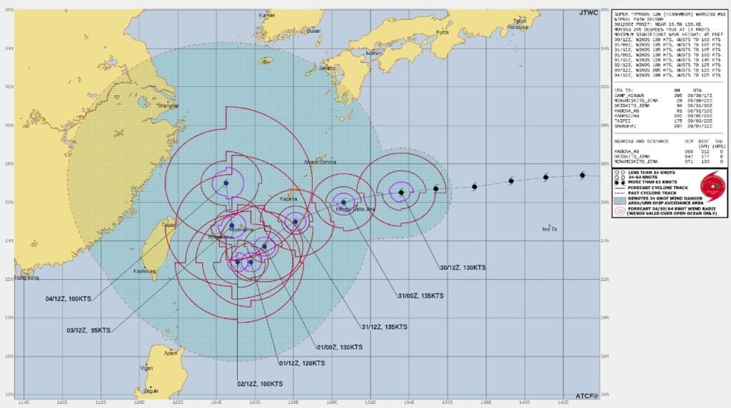
Hinnamnor is forecast to continue tracking generally westward over the next 12 hours under the steering influence of the subtropical ridge to the northeast, JTWC said.1
Still in a favorable environment characterized by warm sea surface temperatures, low vertical wind shear and moderate outflow aloft, the typhoon is forecast to reach a potential peak intensity of 250 km/h (155 mph) or higher by 15:00 UTC on August 31.
References:
1 Supertyphoon “Hinnamnor” – Prognostic reasoning – JTWC 15:00 UTC on August 30, 2022

Teo Blašković founded The Watchers in 2011 and edited it until 2026, covering seismic and volcanic activity, extreme weather, space weather and near-Earth objects. Articles on this page are his archive.
Published in the last 24 hours
- Cyclone Akvan weakens after landfall near Gopalpur; more than 300 000 evacuated in Odisha, India
- High Risk of excessive rainfall covers Florida’s Space Coast as St. Johns River near Cocoa reaches 5.67 m
- Asteroid 2026 WJ to pass Earth at 1.7 lunar distances at 04:20 UTC on November 22, with 2026 WD following at 4.4 lunar distances on November 23
- A broad low over southeastern Florida and the northwestern Bahamas has a 30 percent chance of subtropical or tropical development within 48 hours and a 50 percent chance within 7 days, the National Hurricane Center says
