
M 6.8 earthquake struck east of South Sandwich Islands
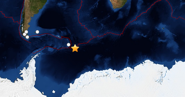
Image credit: Leaflet — Tiles Courtesy of MapQuest — Portions Courtesy NASA/JPL-Caltech and U.S. Department of Agriculture, Farm Service Agency
M 6.8 earthquake struck east of South Sandwich Islands in the southern Atlantic Ocean on March 11, 2014 at 02:44 UTC. The epicenter was located 418 km (260 miles) ESE of Bristol Island, South Sandwich Islands at coordinates 60.839°S 19.957°W. All agencies reported M 6.8 but USGS later revised it to M 6.4. USGS reported depth of 10 km (6.2 miles).
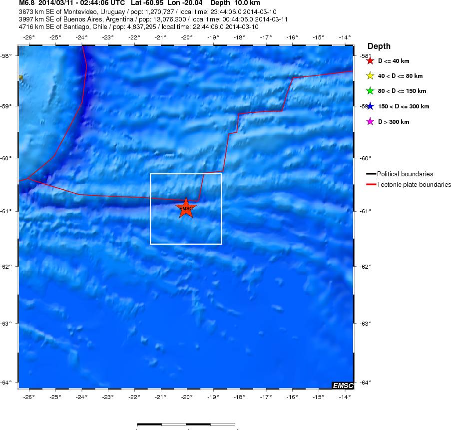
EMSC shake map
The South Sandwich Islands comprise 11 mostly volcanic islands (excluding tiny satellite islands and offshore rocks), with some active volcanoes. They form an island arc running north-south in the region between about 350 miles (560 km) and 500 miles (800 km) southeast of South Georgia. The South Sandwich Islands are uninhabited.
ring of fire very active….rocking and rolling on the anniversary of the japan quake…