
Dust over Syria, Iran and Iraq
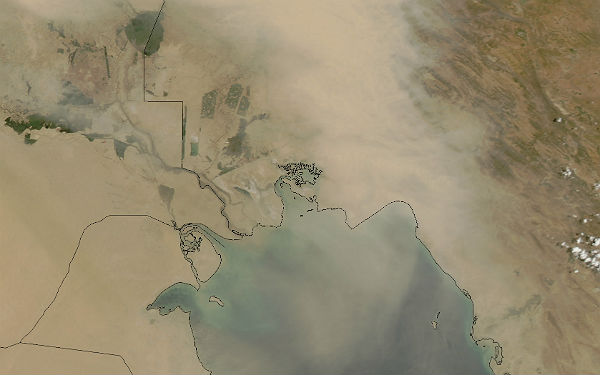
Image credit: TW
The dust that blew over Syria and Iraq on June 18, 2012, continued its southeastward journey the following day. On June 19, the dust had spread to western Iran and the Persian Gulf.

By the time MODIS acquired this image below, the satellite sensor could barely detect Buhayrat ath Tharthar or large stretches of the Tigris and Euphrates Rivers. Fine sediments around these water bodies are frequently stirred up by dust storms. A network of temporary rivers in northern Iraq and Syria also provide material for dust plumes.
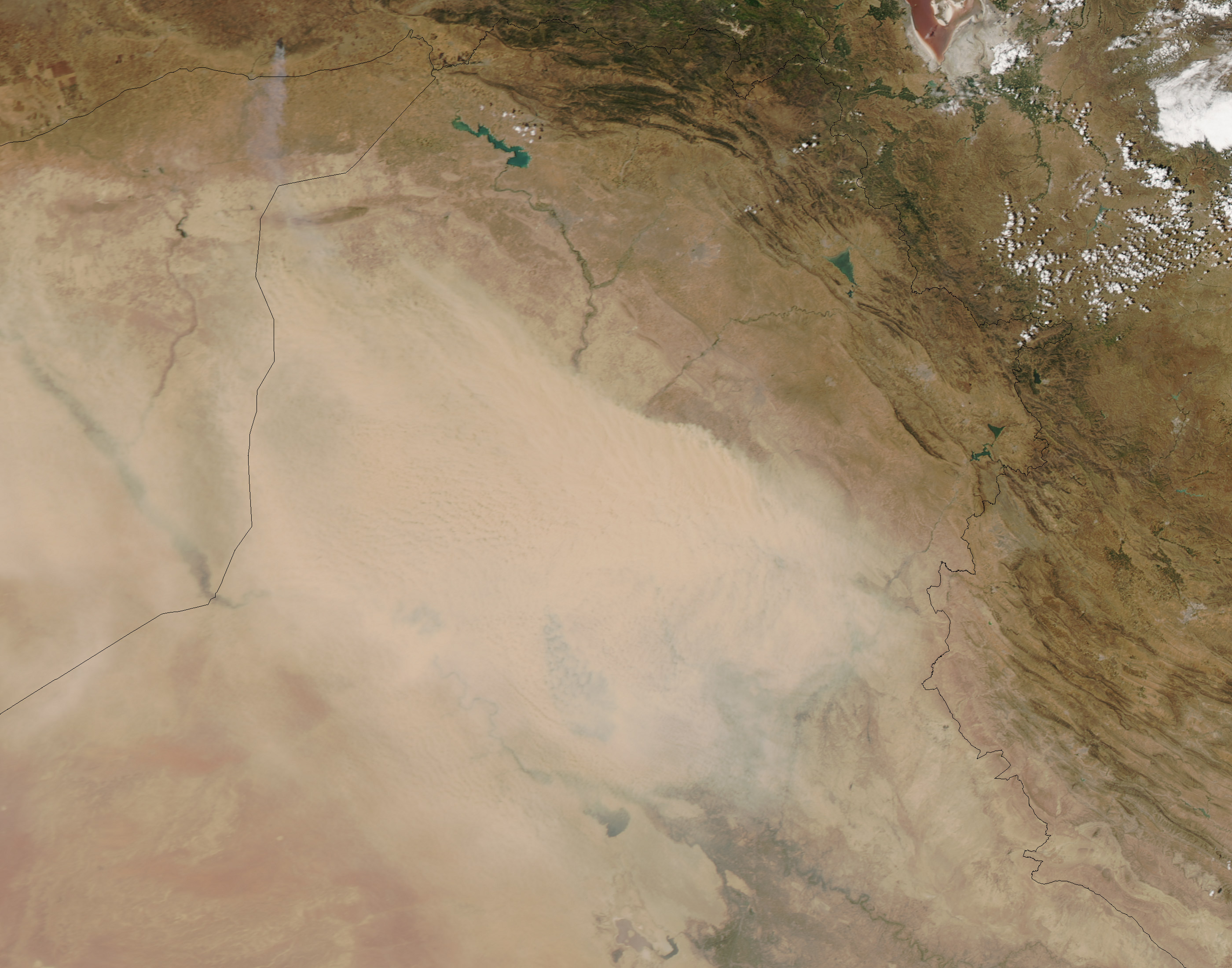
Arid regions like Syria and Iraq often experience severe daytime heat. This causes air near the ground to become unstable, enabling even light winds to loft dust particles into the air. The Weather Channel forecast temperatures above 100 degrees Fahrenheit (40 degrees Celsius) for Baghdad in late June 2012, which suggests that dust activity might continue. (EarthObservatory)

Published in the last 24 hours
- Male toads abandoned a pond in Italy five days before a deadly 2009 earthquake, while a scientist was counting them Epicenter
- An asteroid was spotted 19 hours before it exploded over Sudan in 2008, and students picked its pieces off the desert Epicenter
- A wave up to 3 m (10 feet) high rose out of Lake Michigan on a sunny June morning in 1954 and swept fishermen off Chicago’s piers, and when a second came 10 days later, warnings had cleared the shore Epicenter
- Just 12 inches of rushing water can carry away most cars, and more than half of US flood drownings happen to people who drive into flood water Epicenter

That dust is full of depleted uranium!
[…] Dust over Syria, Iran and Iraq […]