
Magnitude 6.0 earthquake at Niuatoputapu, Tonga
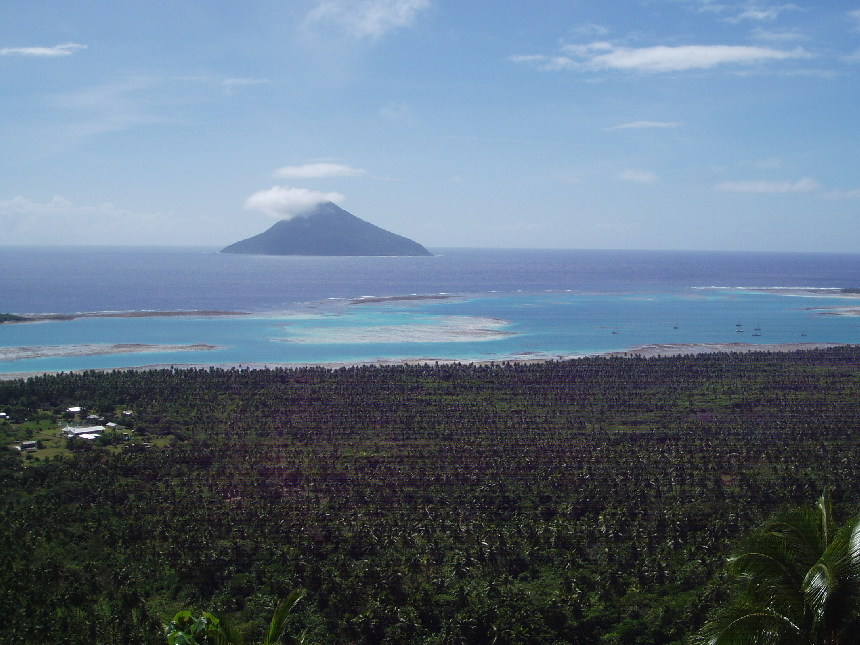
Image credit: TW
Strong magnitude 6.0 earthquake occur 20 km out of the Niuatoputapu coast, an island belonging to Tonga. According to USGS epicenter was 28 km (17 miles) SSW of Hihifo, Tonga, 272 km (169 miles) N of Neiafu, Tonga and 346 km (214 miles) SW of APIA, Samoa (16.155°S, 173.799°W) at depth of 78.6 km (48.8 miles). There were no damage report and no tsunami warning issued.

 Satellite map of the greater epicenter area
Niuatoputapu means sacred island.
Commenting rules and guidelines
We value the thoughts and opinions of our readers and welcome healthy discussions on our website. In order to maintain a respectful and positive community, we ask that all commenters follow these rules.