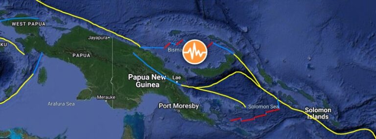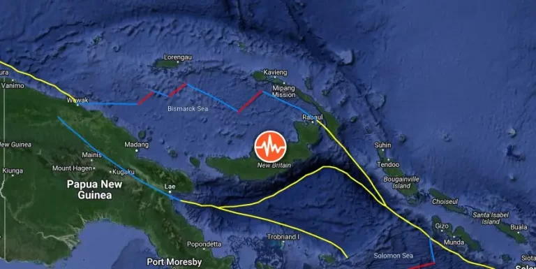
M6.0 earthquake hits New Britain, Papua New Guinea
A strong and shallow earthquake registered by the USGS as M6.0 hit New Britain, Papua New Guinea at 15:13 UTC on March 13, 2024. The agency is reporting a depth of 50 km (31 miles). EMSC is reporting M6.0 at a depth of 56 km (35 miles).