
Winter weather advisories issued for North Cascades and western Okanogan County, Washington
The National Weather Service issued winter weather advisories for the Cascades of Whatcom, Skagit, and western Okanogan counties, Washington, from Wednesday, November 5, through 10:00 PST (18:00 UTC) on Friday, November 7, 2025, as moderate to heavy mountain snow continues.
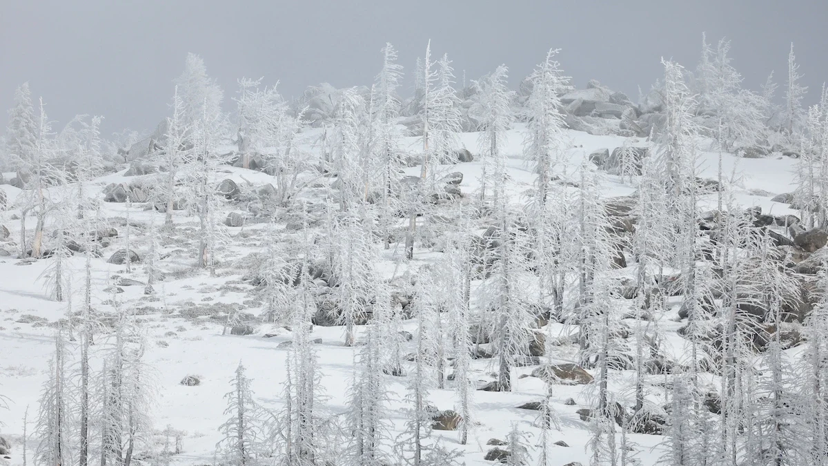
Image credit: Xavier Mascareñas California Department of Water Resources
Snowfall is forecast to intensify across the northern Washington Cascades, with total accumulations of 15–30 cm (6–12 inches) expected along the Cascade crest and higher elevations of Highway 20, according to the National Weather Service (NWS) Seattle. Areas around Mount Baker may receive between 20–25 cm (8 and 10 inches) of snow through Thursday morning.
In western Okanogan County, including Washington Pass, snow levels above 1 200 m (4 000 feet) will accumulate an additional 5–15 cm (2–6 inches) on Wednesday, November 5, followed by 18–38 cm (7–15 inches) through Friday morning, November 7, the NWS Spokane office reported. The heaviest snow rates — up to 2.5 cm (1 inch) per hour — are expected Thursday evening.
Travel across mountain routes, particularly along Highway 20, will be hazardous due to reduced visibility and snow-covered roads. Motorists are advised to slow down, use caution, and prepare for possible power outages.
The advisory comes as multiple atmospheric rivers bring heavy precipitation across the U.S. West Coast this week.
References:
1 Uregent Winter Weather Message – NWS – November 5, 2025

Rishav Kothari is Editor-in-Chief of The Watchers, where he runs the newsroom and covers earthquakes, volcanoes, severe weather and space weather.
