
Tropical Storm Humberto forecast to intensify into major hurricane by next week
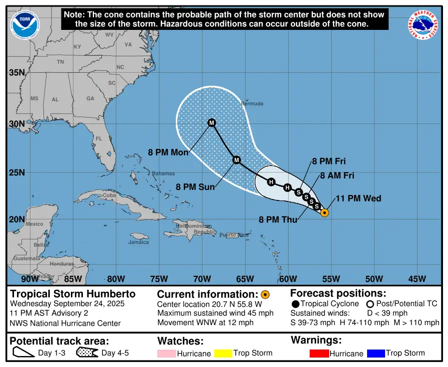
Tropical Storm Humberto formed on September 23, 2025, as the 8th named storm of the 2025 Atlantic Hurricane Season. While it doesn’t pose any threat to land as of now, the system is expected to strengthen into the 3rd hurricane of the season in a few days before becoming a major hurricane by September 28.
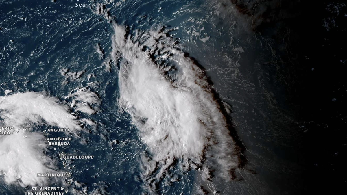
Satellite image of Invest 93L as of 20:10 UTC on September 24, 2025, before becoming Tropical Storm Humberto at 03:00 UTC on September 25. Credit: NOAA GOES-19, Zoom Earth, The Watchers
At 03:00 UTC on September 25 (23:00 AST, September 24), the center of Tropical Storm Humberto was located about 860 km (535 miles) east of the northern Leeward Islands.
Maximum sustained winds near the center (averaged over 1-minute) were estimated at 75 km/h (45 mph), with higher gusts. The storm is moving west-northwest at 19 km/h (12 mph), according to the National Hurricane Center (NHC).
Environmental conditions are conducive for intensification, with warm sea surface temperatures, low vertical wind shear, and abundant mid-level moisture along the forecast track. The NHC expects Humberto to strengthen steadily, reaching hurricane intensity within 60 hours and potentially becoming a major hurricane in 3–4 days.
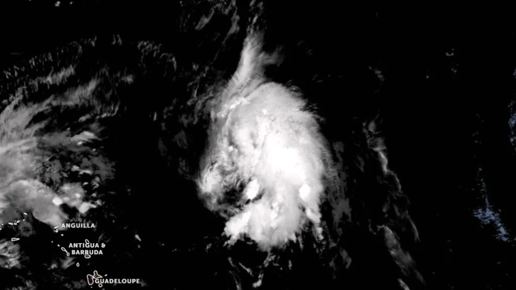
The cyclone’s motion is expected to remain toward the west-northwest to northwest through the forecast period. However, forecast confidence beyond September 27, is low due to potential interaction with another disturbance, Invest 94L, located near Puerto Rico.
References:
1 Tropical Storm Humberto Advisory Number 2 – NHC – September 25, 2025
2 Tropical Storm Humberto Discussion Number 2 – NHC – September 25, 2025

Rishav Kothari is Editor-in-Chief of The Watchers, where he runs the newsroom and covers earthquakes, volcanoes, severe weather and space weather.
Published in the last 24 hours
- Cyclone Akvan crossed the north Andhra Pradesh and south Odisha coasts close to Gopalpur on November 20 with 70-80 km/h winds gusting to 90, and has weakened into a deep depression
- High Risk of excessive rainfall covers Florida’s Space Coast as St. Johns River near Cocoa reaches 5.67 m
- Asteroid 2026 WJ to pass Earth at 1.7 lunar distances at 04:20 UTC on November 22, with 2026 WD following at 4.4 lunar distances on November 23
- A broad low over southeastern Florida and the northwestern Bahamas has a 30 percent chance of subtropical or tropical development within 48 hours and a 50 percent chance within 7 days, the National Hurricane Center says
