
Atmospheric river forecast to bring heavy snow and rain to Northern Alaska
An atmospheric river is forecast to impact Northern Alaska on Thursday, January 23, 2025, bringing in strong winds along with heavy snow through the weekend.
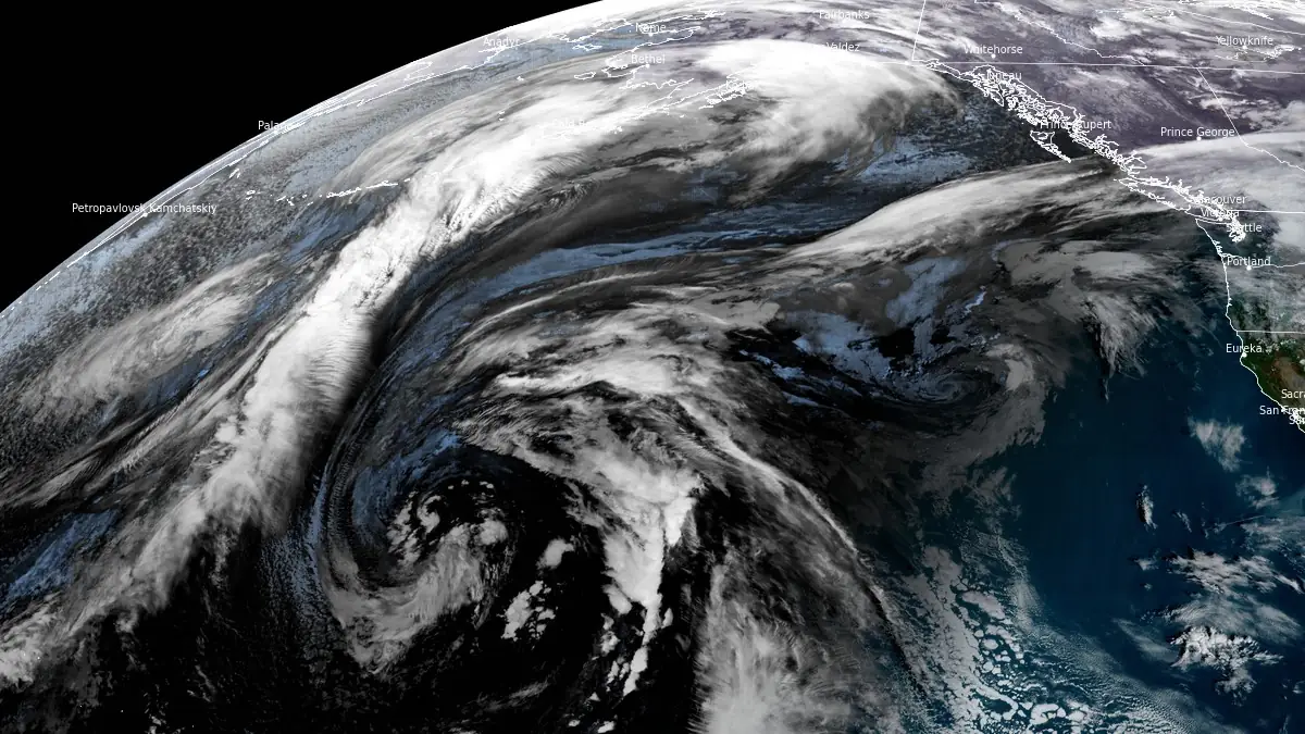
Image credit: NOAA/GOES-West, RAMMB/CIRA, The Watchers. Acquired at 17:10 UTC on January 23, 2025
An atmospheric river is forecast to affect Northern Alaska from Thursday, January 23, through Sunday, bringing heavy snow and rain to the region. Residents are advised to prepare for hazardous travel conditions, including icy roads, reduced visibility from falling and blowing snow, water pooling on roads, and weakened or unstable sea ice.
The storm is expected to bring high winds and heavy snow above 305 m (1 000 feet) in elevation, with blowing snow and rain at higher elevations anticipated across the West Coast and the western interior of Alaska.
The system will move inland into the central and eastern interior regions from Friday through the weekend, potentially bringing the coldest temperatures recorded this winter.
Very heavy wet snow is expected from McGrath to Tanana to Bettles, with snow mixing with rain at times especially east of this line. Very cold temperatures, possibly the coldest thus far this winter, will follow this system and settle across the area by the middle of next week.
Southerly gusts exceeding 97 km/h (60 mph) are possible during the storm, with temperatures near and above 0 °C (32 °F) reducing the impact of blowing snow. Snowfall of up to 30 cm (1 foot) is expected in the Nulato Hills, Seward Peninsula, and Kobuk Valley.
References:
1 Area Forecast Discussion – NWS – January 22, 2025

Rishav Kothari is Editor-in-Chief of The Watchers, where he runs the newsroom and covers earthquakes, volcanoes, severe weather and space weather.
Earlier reporting
Nothing on Watchers was published in the last 24 hours. These are older articles.
- 2 atmospheric rivers to bring heavy Sierra snow and California flood risk
- CPC posts a slight risk of heavy rain from the Gulf Coast to the Northeast urban corridor November 25-29, and a moderate risk of West Coast wind and Sierra snow on November 25
- The storms drenching California this week are fed by a river in the sky, a band of water vapor that can carry up to 15 times the flow of the Mississippi River, and this winter’s near-record El Niño could keep aiming more of them at the West Coast
- Atmospheric river brings moderate risk of heavy rain, mountain snow and high winds to northern California and southwest Oregon on November 24-25
