
Cyclone “Hudhud” hit India’s east coast as destructive Category 3 storm
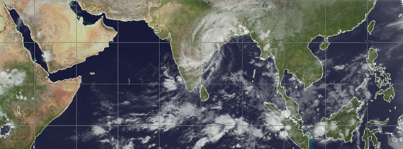
Featured image: METEOSAT-7 IR satellite image of Cyclone Hudhud at 18:00 UTC on October 12, 2104. (Credit: METEOSAT)
Tropical Cyclone "Hudhud" made landfall in Andhra Pradesh at India's east coast around 05:00 UTC on October 12, 2014. The port city of Visakhapatnam, home to two million people, was hit with destructive force of Category 3 storm with sustained winds of 195 km/h (120 mph) and gusts up to 218 km/h (135 mph).
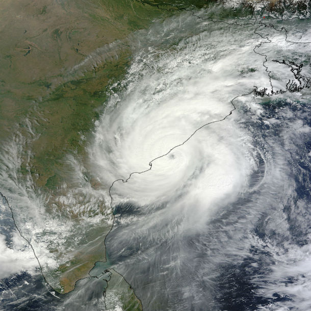
Terra/MODIS satellite image of Cyclone Hudhud in the time of making landfall at 05:10 UTC on October 12, 2014. (Credit: LANCE Rapid response/MODIS)
Hudhud killed at least six people and left a trail of destruction across Andhra Pradesh and neighboring Odisha. The hardest hit were the three north coastal districts of Visakhapatnam, Vizianagaram and Srikakulam. Nearly half million people were evacuated from the coastal areas of the Andhra Pradesh and Orissa states ahead of the storm.
Heavy rainfall caused flooding across portions of eastern India. Vishakhapatnam recorded over 150 mm (6 inches) of rainfall. Beach eroded and collapsed part the Kakinada-Uppada highway in the East Godavari district. More flooding is expected as Cyclone Hudhud track across Andhra, Chhattisgarh, Madhya, Jharkhand, Uttar and Bihar states, with heavy rain and strong winds over the next few days.
Hudhud is expected to weaken rapidly before making extra-tropical transition and dissipate after the next day or two. Dangerous flooding and mudslides could affect mountainous areas in northern India and Nepal due the heavy rains and moisture over the next few days.
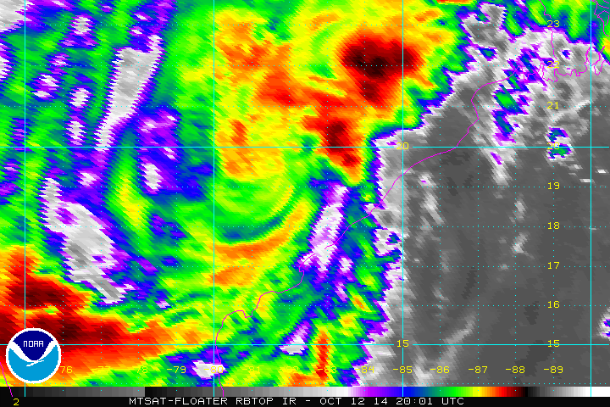
MTSAT RBTOP IR satellite image of Cyclone Hudhud moving more inland at 20:01 UTC on October 12, 2014. (Credit: NOAA/MTSAT)
.png)
JTWC forecast track (Credit: JTWC)
Satellite animations
- Storm-Centered Infrared (Meteosat 7; CIMSS)
- Storm-Centered Enhanced Infrared (Meteosat 7; CIMSS)
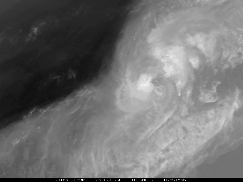
- Storm-Centered Water Vapor (Meteosat 7; CIMSS)
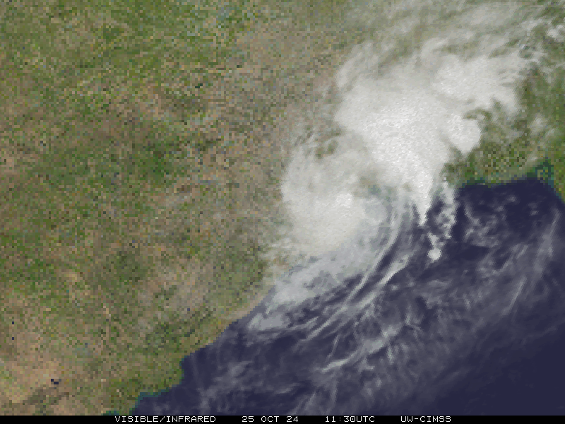
- Storm-Centered Visible (Meteosat 7; CIMSS)
- Storm-Centered Infrared (MTSAT2; NOAA/SSD)
- Storm-Centered Infrared (Aviation Color Enhancement) (MTSAT2; NOAA/SSD)
- Storm-Centered Water Vapor (MTSAT2; NOAA/SSD)
- Storm-Centered Visible (MTSAT2; NOAA/SSD)
- Storm-Centered Visible (Colorized) (MTSAT2; NOAA/SSD)
- Meteosat 7 Infrared
- Meteosat 7 Infrared (Color Background)
- Meteosat 7 Infrared (NHC Color Enhancement)
- Meteosat 7 Water Vapor
- Meteosat 7 Water Vapor (Color Background)
Commenting rules and guidelines
We value the thoughts and opinions of our readers and welcome healthy discussions on our website. In order to maintain a respectful and positive community, we ask that all commenters follow these rules.