
Agricultural fires in Indochina seen from satellite
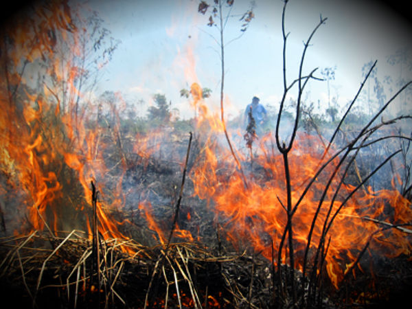
Image credit: TW
Late winter or early spring is the time scheduled for farmers in Southeast Asia for preparing land for seasonal agriculture, usually for planting crops. On February 14, 2012, the Moderate Resolution Imaging Spectroradiometer (MODIS) aboard NASA’s Aqua satellite passed over the region and captured image of fires across Indochina (bellow). The image is centered on Myanmar (Burma), with Laos to the east and India, then Bangladesh to the west.

Such widespread burning creates a seasonal pattern of emissions that adds to regional air pollution. It can also adversely affect human health. A smoky haze can be seen hanging over the land in the northwest section of this image. In addition, smoke also obscures the ground in areas where fires are actively burning, throughout the image. (MODIS)
Commenting rules and guidelines
We value the thoughts and opinions of our readers and welcome healthy discussions on our website. In order to maintain a respectful and positive community, we ask that all commenters follow these rules.